
Doynton, village in Gloucestershire, England, UK
Posizione: South Gloucestershire
Coordinate GPS: 51.46670,-2.40000
Ultimo aggiornamento: 3 marzo 2025 alle 17:33
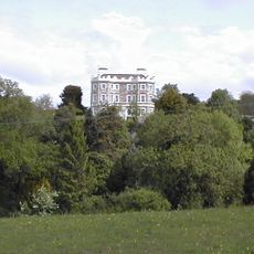
Bury Manor
2.1 km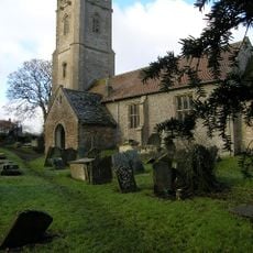
Church of St James the Great
1.9 km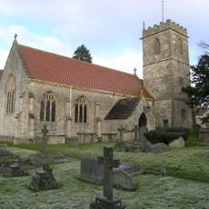
Church of Holy Trinity
298 m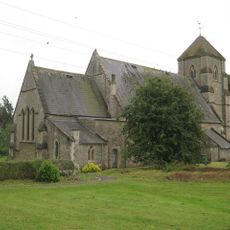
Church of St Bartholomew
3.1 km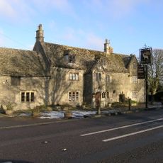
The White Hart
3 km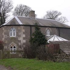
Oldfield Gatehouse
2.4 km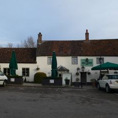
Rose And Crown
2.4 km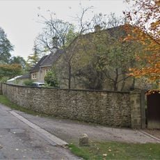
Walls Attached To South Elevation Of Stable Block
2.3 km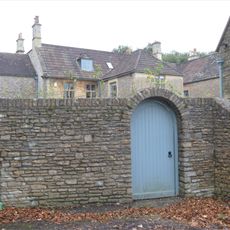
Wynter House
2.2 km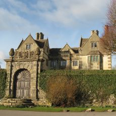
The Manor House
3.1 km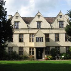
Wick Court
2.8 km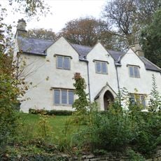
Roger's Orchard
2.3 km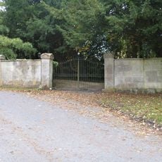
Gate Piers And Wall About 35 Metres North West Of The Old Rectory
2.1 km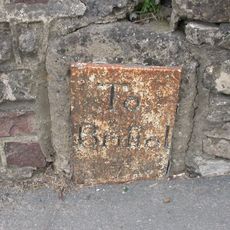
Milestone About 130 Metres West Of The Lawn
2.4 km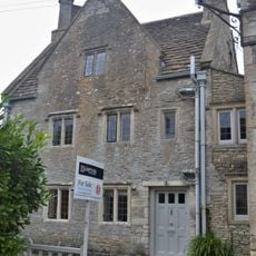
Hobbema House
2.1 km
Hamswell House
2.9 km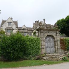
Garden Walls And Gateways About 15 Metres South Of The Manor House
3.2 km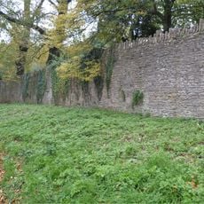
Wall About 200 Metres West Of Stable Block Attached To South Of Dyrham House
2.2 km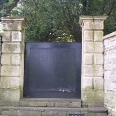
Pair Of Gate Piers And Steps About 12 Metres North Of The Old Rectory
2.1 km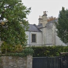
The Old Rectory
2.1 km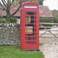
K6 Telephone Kiosk Outside Post Office
2 km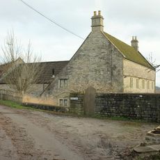
Lilliput Farmhouse
3.3 km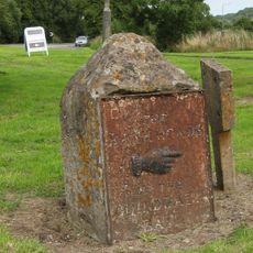
Guidestone At Junction With Bury Lane
2 km
Old School House
2.1 km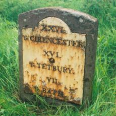
Milestone At Ngr St 7468 7457
2.4 km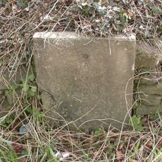
Milestone, The Folly; opp. pub car park
3 km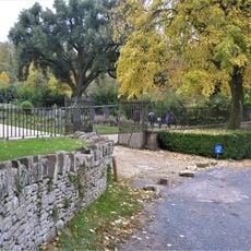
Wall And Gates About 200 Metres West Of Dyrham House
2.3 km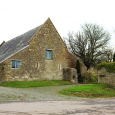
Barn About 14 Metres West Of The Court House
3.1 kmRecensioni
Ha visitato questo luogo? Tocchi le stelle per valutarlo e condividere la Sua esperienza o foto con la community! Provalo ora! Puoi annullarlo in qualsiasi momento.
Scopri tesori nascosti ad ogni viaggio!
Da piccoli caffè caratteristici a panorami nascosti, fuggi dalla folla e scova i posti che fanno davvero per te. La nostra app ti semplifica tutto: ricerca vocale, filtri furbi, percorsi ottimizzati e dritte autentiche da viaggiatori di tutto il mondo. Scaricala subito per vivere l'avventura sul tuo smartphone!

Un nuovo approccio alla scoperta turistica❞
— Le Figaro
Tutti i luoghi che meritano di essere esplorati❞
— France Info
Un’escursione su misura in pochi clic❞
— 20 Minutes