
High Toynton, human settlement in United Kingdom
Posizione: East Lindsey
Coordinate GPS: 53.21109,-0.07607
Ultimo aggiornamento: 4 marzo 2025 alle 12:40
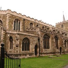
St Mary's Church, Horncastle
2.7 km
Scrafield
2.1 km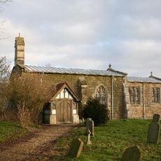
Church of All Saints
2.4 km
Church of St Peter
1.2 km
Church of All Saints
3.2 km
Church of the Holy Trinity
2.3 km
Church of All Saints
2.1 km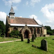
Church of All Saints
3.6 km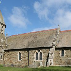
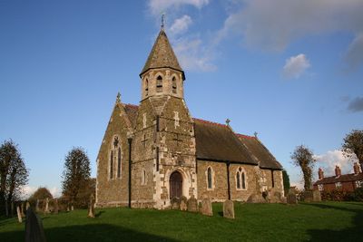
Church of St John the Baptist
232 m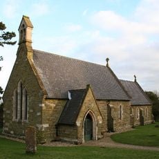
Church of St Andrew
3.7 km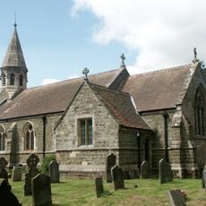
Church of St.Margaret
4.5 km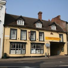
The Red Lion Hotel
2.6 km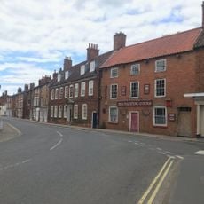
The Fighting Cocks Public House
2.9 km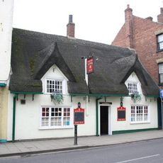
The Kings Head Public House
2.6 km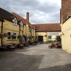
Lion Theatre
2.6 km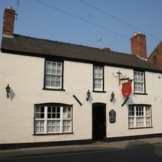
The Crown Public House
3 km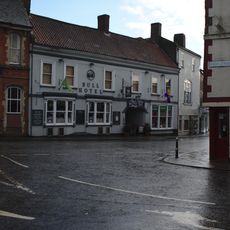
The Bull Hotel With Integral Shop Inspirations And The Autoshop To Right With Assembly Room Above
2.6 km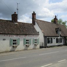
Spye Cottage And Rook Cottage
3.2 km
The Grove Hotel
3 km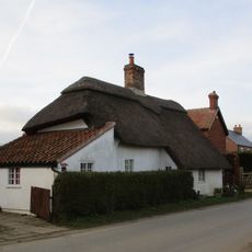
Cottage To South Of Southacre House
2.1 km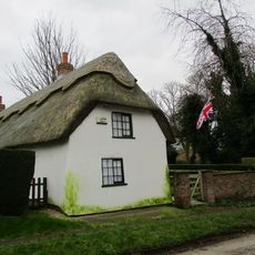
The Thatched Cottage
222 m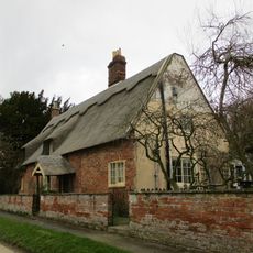
The Thatched House
282 m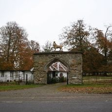
The Lion Gateway
4.3 km
Banovallum, remains of Roman wall
2.8 km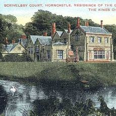
Scrivelsby Court
4.2 km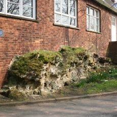
Roman wall to rear of the Manor House
2.8 km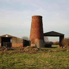
Langton Windmill
4.1 km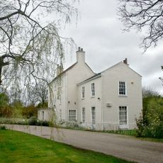
Banovallum House
2.9 kmRecensioni
Ha visitato questo luogo? Tocchi le stelle per valutarlo e condividere la Sua esperienza o foto con la community! Provalo ora! Puoi annullarlo in qualsiasi momento.
Scopri tesori nascosti ad ogni viaggio!
Da piccoli caffè caratteristici a panorami nascosti, fuggi dalla folla e scova i posti che fanno davvero per te. La nostra app ti semplifica tutto: ricerca vocale, filtri furbi, percorsi ottimizzati e dritte autentiche da viaggiatori di tutto il mondo. Scaricala subito per vivere l'avventura sul tuo smartphone!

Un nuovo approccio alla scoperta turistica❞
— Le Figaro
Tutti i luoghi che meritano di essere esplorati❞
— France Info
Un’escursione su misura in pochi clic❞
— 20 Minutes