
Heather, village and civil parish in Leicestershire, England, UK
Posizione: North West Leicestershire
Coordinate GPS: 52.69300,-1.42400
Ultimo aggiornamento: 24 aprile 2025 alle 08:48
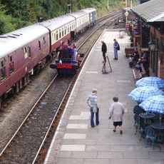
Shackerstone railway station
4.3 km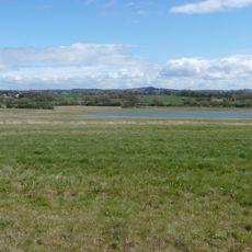
Queen Elizabeth Diamond Jubilee Wood
1.9 km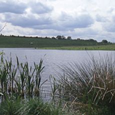
Sence Valley Forest Park
1.3 km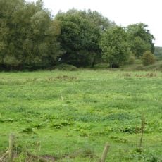
Newton Burgoland Marshes
2.1 km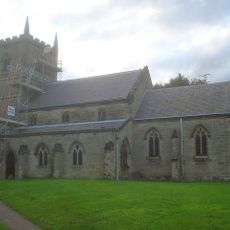
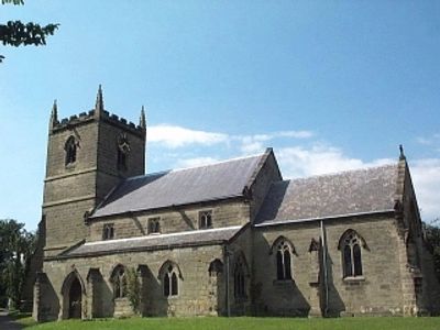
Church of St John the Baptist
102 m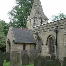
Church of St Michael
3.4 km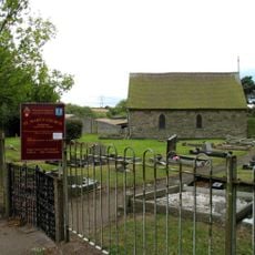
Church of St Mary
3.2 km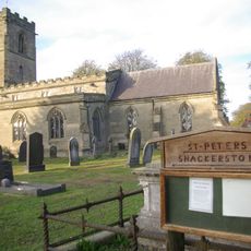
Church of St Peter
4.3 km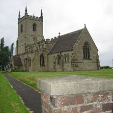
Church of St Peter, Swepstone
2.2 km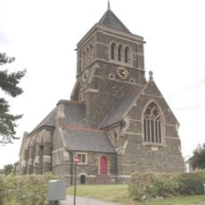
Church of St John the Baptist
4.2 km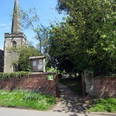
Church of the Holy Trinity
2.4 km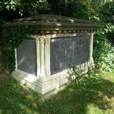
Church of St Denys and Paget Tombs in Churchyard
1.8 km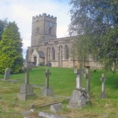
Church of the Holy Rood
4.9 km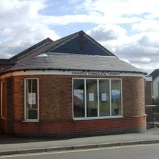
Coalville Evangelical Church
4.4 km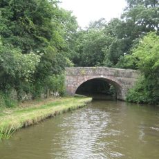
Number 60 Bridge
4.8 km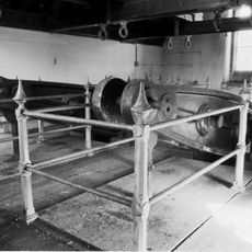
Snarestone Pumping Station
4.3 km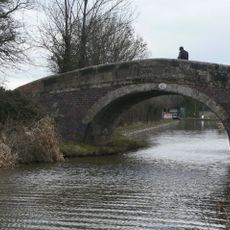
Number 61 Turnover Bridge
4.6 km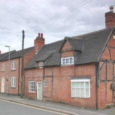
16, Dennis Street
4 km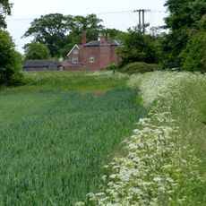
Odstone Hall
3.1 km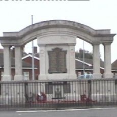
Ibstock War Memorial
1.7 km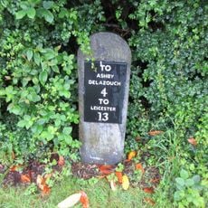
Milestone outside Ravenstone Village Institute
3.3 km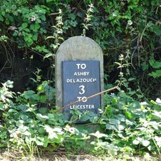
Milestone 120m east of Alton Lodge
3.7 km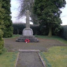
Snarestone War Memorial
4.7 km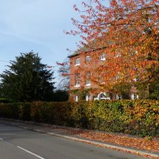
Manor Farmhouse
4.7 km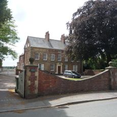
Beech House
4.7 km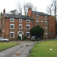
Help Out Mill
3.1 km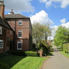
Manor Farmhouse
2.3 km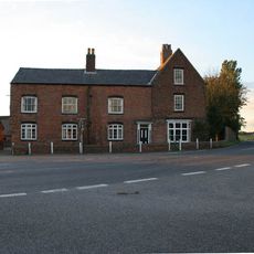
Elmside Farmhouse
4.5 kmRecensioni
Ha visitato questo luogo? Tocchi le stelle per valutarlo e condividere la Sua esperienza o foto con la community! Provalo ora! Puoi annullarlo in qualsiasi momento.
Scopri tesori nascosti ad ogni viaggio!
Da piccoli caffè caratteristici a panorami nascosti, fuggi dalla folla e scova i posti che fanno davvero per te. La nostra app ti semplifica tutto: ricerca vocale, filtri furbi, percorsi ottimizzati e dritte autentiche da viaggiatori di tutto il mondo. Scaricala subito per vivere l'avventura sul tuo smartphone!

Un nuovo approccio alla scoperta turistica❞
— Le Figaro
Tutti i luoghi che meritano di essere esplorati❞
— France Info
Un’escursione su misura in pochi clic❞
— 20 Minutes