
Tittesworth, civil parish in Staffordshire Morlands, Staffordshire, England
Posizione: Staffordshire Moorlands
Coordinate GPS: 53.12681,-1.97706
Ultimo aggiornamento: 26 marzo 2025 alle 04:30
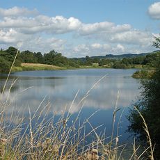
Bacino idrico Tittesworth
2.9 km
Dieulacres Abbey
3.4 km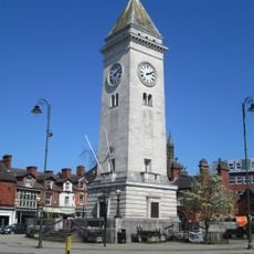
Nicholson War Memorial
3.8 km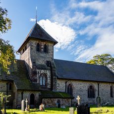
Church of St Matthew
3.4 km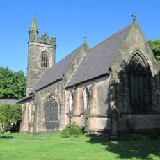
Church of St Luke
3.6 km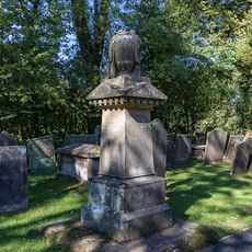
Condlyff Memorial approximately 3 metres south of Church of St Matthew
3.4 km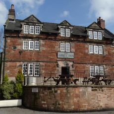
Abbey Inn
3.8 km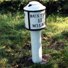
Milepost at NGR SJ 551 577
2 km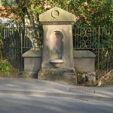
Drinking Water Fountain
2.8 km
Nicholson Institute and Leek College of Further Education
3.8 km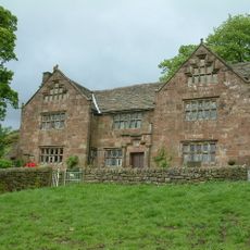
Windygates Hall
3.2 km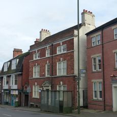
10, Stockwell Street
3.9 km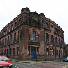
Cross Street Mills
3.6 km
Garden wall and gate piers of Greystones
3.8 km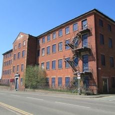
London Mill
3.6 km
Gate piers, railings and gates of Nicholson Institute
3.8 km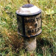
Milepost Near Upper Hulme (Ngr Sk0130760681)
1.9 km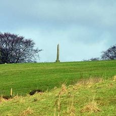
The Butter Cross, 700m north east of Stile House Farm
2.2 km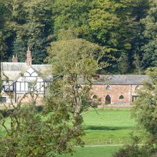
West stable range at Dieu-La-Cres Abbey Farm
3.5 km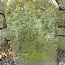
Boundary stone at NGR SJ 996 558
3.6 km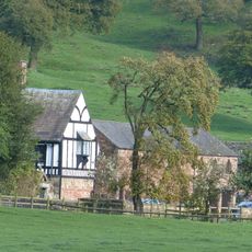
Dieu-La-Cres Abbey Farmhouse
3.5 km
240, Abbey Green Road
3.8 km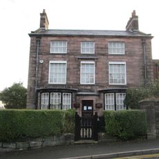
Ford House
3.8 km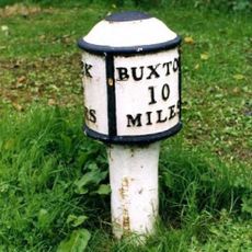
Milepost Leek 2 Miles
1.1 km
Greystones
3.8 km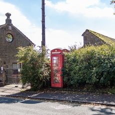
K6 Telephone Kiosk
3.3 km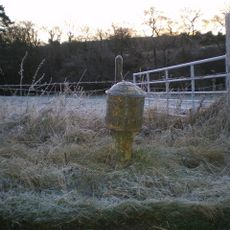
Milepost, near Upper Hulme
1.9 km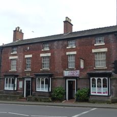
16 and 18, Stockwell Street
3.8 kmRecensioni
Ha visitato questo luogo? Tocchi le stelle per valutarlo e condividere la Sua esperienza o foto con la community! Provalo ora! Puoi annullarlo in qualsiasi momento.
Scopri tesori nascosti ad ogni viaggio!
Da piccoli caffè caratteristici a panorami nascosti, fuggi dalla folla e scova i posti che fanno davvero per te. La nostra app ti semplifica tutto: ricerca vocale, filtri furbi, percorsi ottimizzati e dritte autentiche da viaggiatori di tutto il mondo. Scaricala subito per vivere l'avventura sul tuo smartphone!

Un nuovo approccio alla scoperta turistica❞
— Le Figaro
Tutti i luoghi che meritano di essere esplorati❞
— France Info
Un’escursione su misura in pochi clic❞
— 20 Minutes