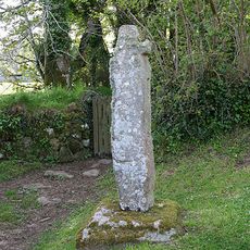
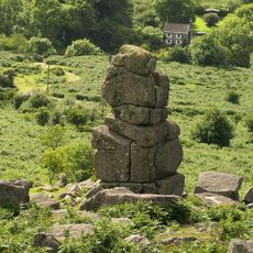
Tomba di Jay, Sito archeologico funerario vicino a Manaton, Devon, Inghilterra
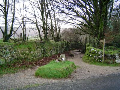
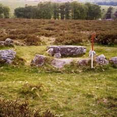
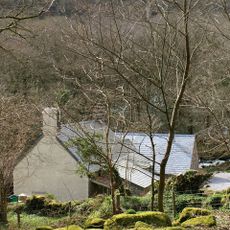
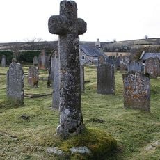
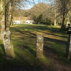
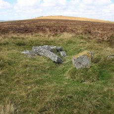
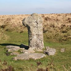
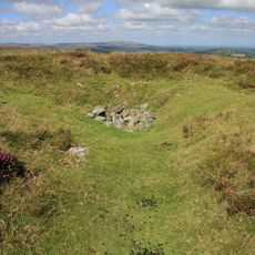
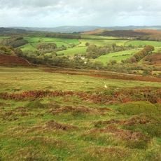
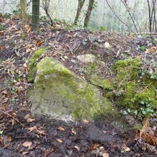
Jay's Grave è un luogo di sepoltura a un incrocio vicino a Hound Tor nel Parco Nazionale di Dartmoor. Una semplice lapide segna il punto, circondato da brughiere e lande aperte.
Negli anni 1850 furono scoperti qui i resti di una giovane donna vissuta nel XVIII secolo. Fu identificata come Mary Jay, e il luogo divenne in seguito un memoriale noto nella brughiera.
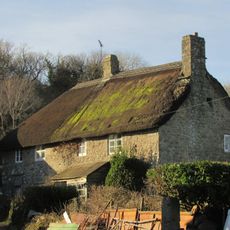
Il nome ricorda una serva che visse e lavorò vicino a Manaton, e la sua storia continua ad essere raccontata oggi nella brughiera. Escursionisti e visitatori lasciano ancora fiori freschi sulla tomba, così il luogo non appare mai abbandonato.
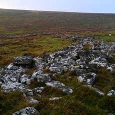
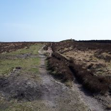
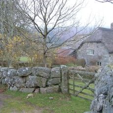
L'accesso avviene tramite piccoli sentieri che incrociano percorsi escursionistici attraverso Dartmoor, e il parcheggio più vicino si trova lungo la strada a ovest di Hound Tor. Con pioggia o nebbia, il terreno diventa scivoloso, quindi si consigliano scarpe robuste.
Nessuno sa chi pone fiori freschi sulla tomba ogni giorno, e finora nessun abitante o visitatore ha rivendicato la responsabilità. I fiori appaiono in ogni stagione, anche in inverno o con brutto tempo.
La comunità dei viaggiatori curiosi
AroundUs riunisce migliaia di luoghi selezionati, consigli locali e gemme nascoste, arricchiti ogni giorno da oltre 60,000 contributori in tutto il mondo.