
Hoo, village and civil parish in Suffolk, United Kingdom
Posizione: Suffolk Coastal
Posizione: East Suffolk
Coordinate GPS: 52.18200,1.29900
Ultimo aggiornamento: 4 marzo 2025 alle 14:41
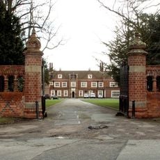
Brandeston Hall
1.6 km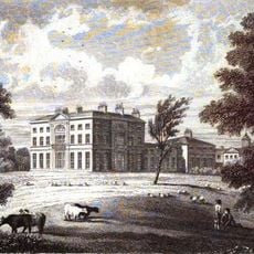
Glevering Hall
4.4 km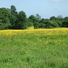
Martin's Meadows
3.3 km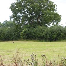
Moat Farm Meadows
4.3 km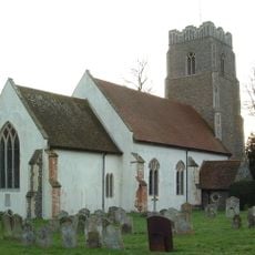
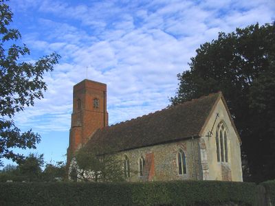
Church of All Saints
1.7 km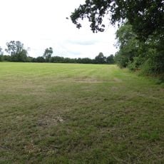
High House Meadows, Monewden
2.9 km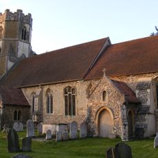
Church of All Saints, Easton
2.7 km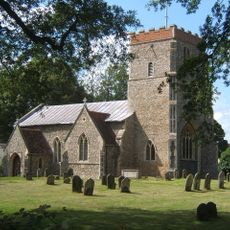
Church of St Mary
4 km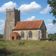
Church of St Mary, Letheringham
1.2 km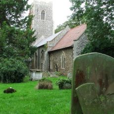
Church of St Mary
4.8 km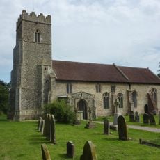
Church of St Andrew
1.9 km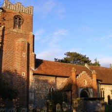
Church of St Peter
2.3 km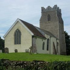
Church of St Peter
3.3 km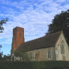
Church of St Andrew and St Eustachius
390 m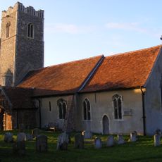
Church of St Mary
1.8 km
The White Horse, Easton
2.7 km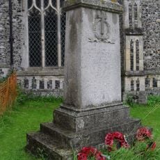
Framsden War Memorial
5.6 km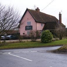
New Bell Public House
3.1 km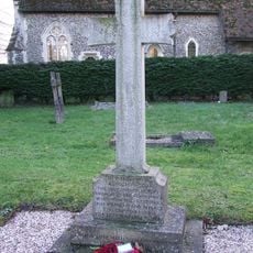
Debach War Memorial
4.7 km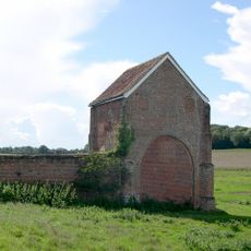
Letheringham Priory and remains of 17th century walled garden
1.2 km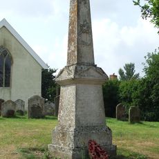
Cretingham War Memorial
3.3 km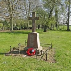
Brandeston War Memorial
1.7 km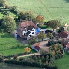
Letheringham Lodge
2.7 km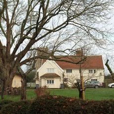
Cottage Immediately South West Of Church Cottage
1.9 km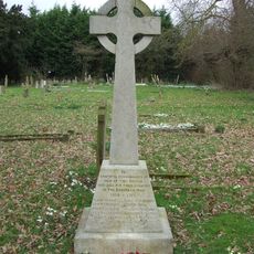
Dallinghoo War Memorial
4.1 km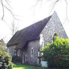
All Saints House
4.7 km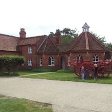
Easton Farm Park
2.2 km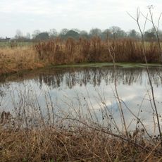
Rectory Farmhouse
2.5 kmRecensioni
Ha visitato questo luogo? Tocchi le stelle per valutarlo e condividere la Sua esperienza o foto con la community! Provalo ora! Puoi annullarlo in qualsiasi momento.
Scopri tesori nascosti ad ogni viaggio!
Da piccoli caffè caratteristici a panorami nascosti, fuggi dalla folla e scova i posti che fanno davvero per te. La nostra app ti semplifica tutto: ricerca vocale, filtri furbi, percorsi ottimizzati e dritte autentiche da viaggiatori di tutto il mondo. Scaricala subito per vivere l'avventura sul tuo smartphone!

Un nuovo approccio alla scoperta turistica❞
— Le Figaro
Tutti i luoghi che meritano di essere esplorati❞
— France Info
Un’escursione su misura in pochi clic❞
— 20 Minutes