
Hemington, village and civil parish in Northamptonshire, UK
Posizione: North Northamptonshire
Coordinate GPS: 52.44750,-0.39030
Ultimo aggiornamento: 7 marzo 2025 alle 18:52
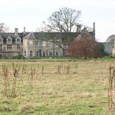
Barnwell Manor
4.5 km
Barnwell Castle
4.6 km
Ashton Wold
3.1 km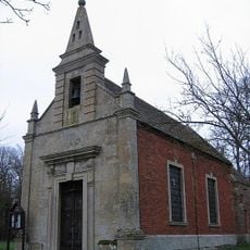
Parish Church of St John the Evangelist
4.3 km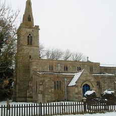
St Andrew's Church, Steeple Gidding
4.9 km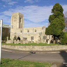
Church of St Peter
3.7 km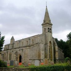
Church of St James
1.9 km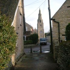
Church of All Saints
3.7 km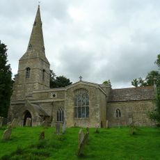
Parish Church of All Saints
3.9 km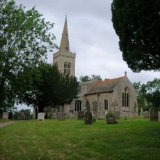
Parish Church of St Michael
2.5 km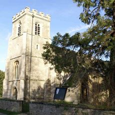
Church of St Peter and St Paul
583 m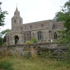
Church of St Margaret
1.2 km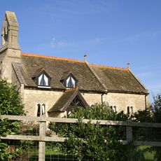
Parish Church of St Mary Magdalene
6 km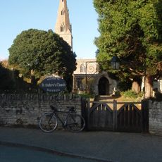
Church of St Andrew
4.6 km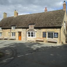
Montague Arms Public House
4.5 km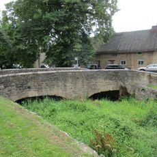
Bridge Approximately 10 Metres West Of The Montague Arms Public House
4.5 km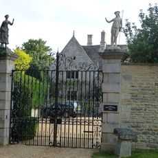
Polebrook Hall and attached Wall with Gatearch
3.6 km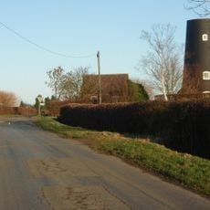
Tower Mill
3.1 km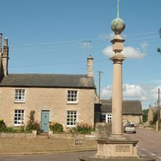
Polebrook and Armston War Memorial
3.7 km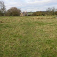
Papley deserted medieval village, moat and fishpond, near Warmington.
4.6 km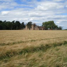
North Lodge Farmhouse
2.4 km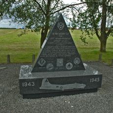
351st Bombardment Group USAAF Memorial, Polebrook
2.4 km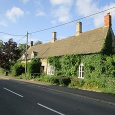
Brook Farmhouse
3.7 km
Parkers Patch
4.7 km
Manor Farmhouse
3.7 km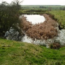
Deserted village (site of)
5.1 km
Greyston House
3.7 km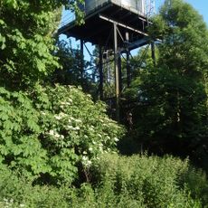
Water Tower
3.7 kmRecensioni
Ha visitato questo luogo? Tocchi le stelle per valutarlo e condividere la Sua esperienza o foto con la community! Provalo ora! Puoi annullarlo in qualsiasi momento.
Scopri tesori nascosti ad ogni viaggio!
Da piccoli caffè caratteristici a panorami nascosti, fuggi dalla folla e scova i posti che fanno davvero per te. La nostra app ti semplifica tutto: ricerca vocale, filtri furbi, percorsi ottimizzati e dritte autentiche da viaggiatori di tutto il mondo. Scaricala subito per vivere l'avventura sul tuo smartphone!

Un nuovo approccio alla scoperta turistica❞
— Le Figaro
Tutti i luoghi che meritano di essere esplorati❞
— France Info
Un’escursione su misura in pochi clic❞
— 20 Minutes