
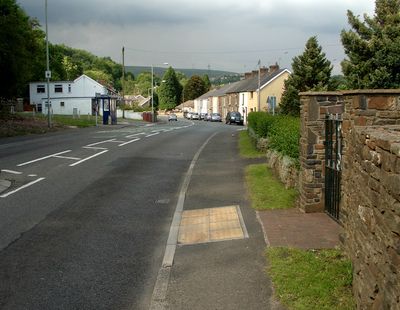
Llangynwyd Lower, community in Bridgend County Borough
Posizione: Bridgend County Borough
Coordinate GPS: 51.55770,-3.63094
Ultimo aggiornamento: 4 marzo 2025 alle 08:13
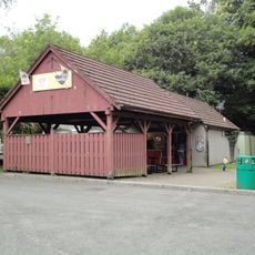
Bryngarw Country Park
3.5 km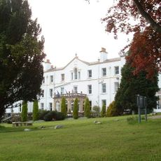
Court Colman Manor
3.9 km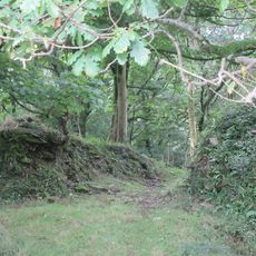
Llangynwyd Castle
3.6 km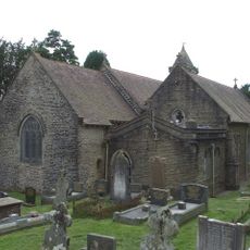
Church Of St David, Bettws
3.1 km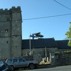
St David's Church
5.7 km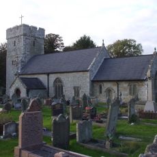
St James's Church
5.3 km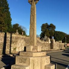
The Hopcyn Cross
3.5 km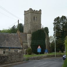
Church of All Saints, Pen-y-Fai
4.4 km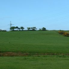
Pen y Castell, Kenfig Hill
4 km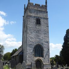
St Cynwyd's Church
3.5 km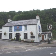
Nicholls Arms PH
2.1 km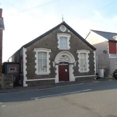
The Talbot Institute
4.2 km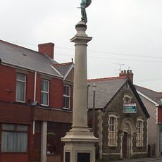
Kenfig Hill War Memorial
4.2 km
The Laleston Inn
5.7 km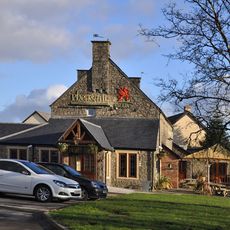
The Pheasant
4.4 km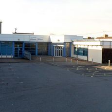
Pyle Life Centre
5.2 km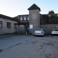
Betws Library
3.1 km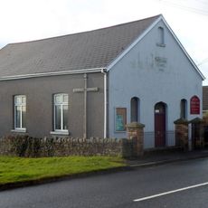
Wesleyan Methodist Chapel
3.6 km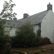
Maendy
4.1 km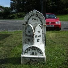
Mile marker on A48, Pyle to Margam Road
5.2 km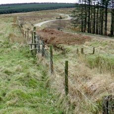
Caer Blaen-y-cwm, Margam
4.4 km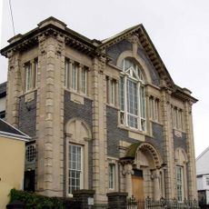
Tabor Welsh Calvinistic Methodist Chapel
5.7 km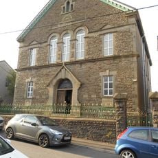
Canaan Independent Chapel
5.8 km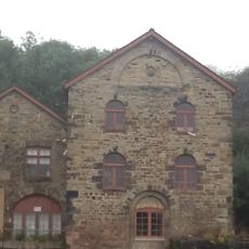
Former Blast Engine Houses At Tondu Ironworks
2.4 km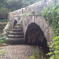
Glan Rhyd Railway Viaduct
4 km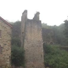
Calcining Kilns And Attached Abutment At Tondu Ironworks
2.4 km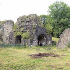
Cefn Cribwr Ironworks, The Furnace And Charging House
2.9 km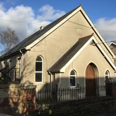
Ainon Welsh Baptist Chapel
3.4 kmRecensioni
Ha visitato questo luogo? Tocchi le stelle per valutarlo e condividere la Sua esperienza o foto con la community! Provalo ora! Puoi annullarlo in qualsiasi momento.
Scopri tesori nascosti ad ogni viaggio!
Da piccoli caffè caratteristici a panorami nascosti, fuggi dalla folla e scova i posti che fanno davvero per te. La nostra app ti semplifica tutto: ricerca vocale, filtri furbi, percorsi ottimizzati e dritte autentiche da viaggiatori di tutto il mondo. Scaricala subito per vivere l'avventura sul tuo smartphone!

Un nuovo approccio alla scoperta turistica❞
— Le Figaro
Tutti i luoghi che meritano di essere esplorati❞
— France Info
Un’escursione su misura in pochi clic❞
— 20 Minutes