
Llanharry, village and community in Rhondda Cynon Taf, Wales, UK
Posizione: Rhondda Cynon Taf
Coordinate GPS: 51.51460,-3.43520
Ultimo aggiornamento: 3 marzo 2025 alle 23:37

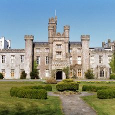
Hensol Castle
4.5 km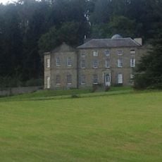
Llanharan House
2.7 km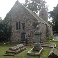
St Senwyr's Church
3.2 km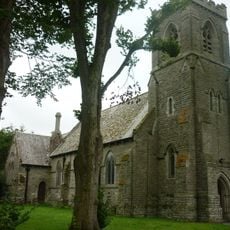
St David's Church
4.2 km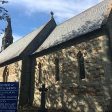
Church of SS Julius and Aaron
2.7 km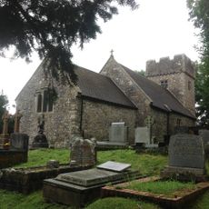
Church of SS Ilid and Curig
2.8 km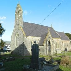
Church of St Illtyd
118 m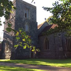
Church of St Ann
2.2 km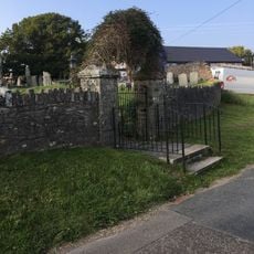
Churchyard Wall and Gates of Church of St. Owain
2.9 km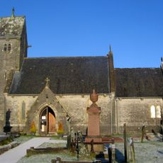
St Owain's Church
2.9 km
Ebenezer Calvinistic Methodist Chapel
4.1 km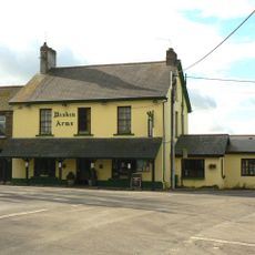
Miskin Arms
4.1 km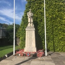
Llanharan War Memorial
2.7 km
Pontyclun Library
3 km
Cow Shed at Ynysmaerdy Farm (formerly stores of Llantrisant Colliery)
4.6 km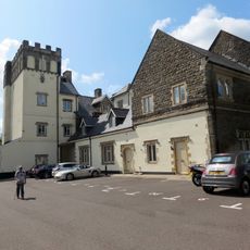
Talygarn
2.7 km
Bethany Calvinistic Methodist Chapel
2.4 km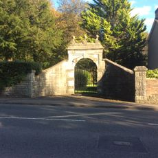
Gateway and gate to W boundary at Talygarn
2.3 km
Y Felin Wynt Tower
4.8 km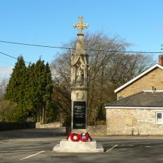
Miskin War Memorial
4.2 km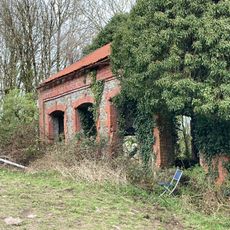
Hay barn at Ynysmaerdy Farm (former winding engine house of Llantrisant Colliery)
4.4 km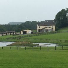
Pantyquesta House
3.8 km
Boiler stack of former lead mine NW of Cefn-parc Farm
4.6 km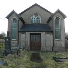
Peniel Independent Chapel
423 m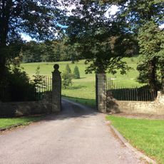
Gate piers, gates and railings at main entrance to Llanharan House
2.5 km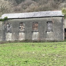
Garage at Ynysmaerdy Farm (formerly part of Llantrisant Colliery)
4.4 km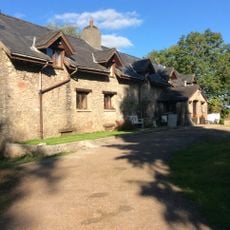
Llechau
1.2 km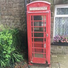
Telephone Call-box
4.2 kmRecensioni
Ha visitato questo luogo? Tocchi le stelle per valutarlo e condividere la Sua esperienza o foto con la community! Provalo ora! Puoi annullarlo in qualsiasi momento.
Scopri tesori nascosti ad ogni viaggio!
Da piccoli caffè caratteristici a panorami nascosti, fuggi dalla folla e scova i posti che fanno davvero per te. La nostra app ti semplifica tutto: ricerca vocale, filtri furbi, percorsi ottimizzati e dritte autentiche da viaggiatori di tutto il mondo. Scaricala subito per vivere l'avventura sul tuo smartphone!

Un nuovo approccio alla scoperta turistica❞
— Le Figaro
Tutti i luoghi che meritano di essere esplorati❞
— France Info
Un’escursione su misura in pochi clic❞
— 20 Minutes