
Nether Silton, village in United Kingdom
Posizione: Hambleton
Coordinate GPS: 54.32490,-1.30020
Ultimo aggiornamento: 29 marzo 2025 alle 17:43

The Manor House
4.8 km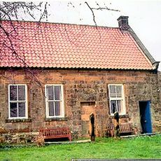
Osmotherley Friends Meeting House
4.9 km
Sigston Castle:
4.8 km
Church of St Peter
4.8 km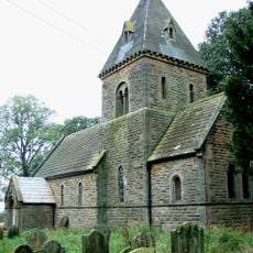
Church of St Michael and All Angels
2.6 km
The Three Tuns Inn
4.8 km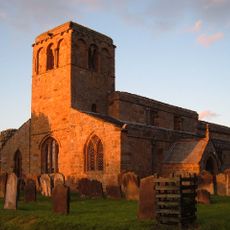
Church of St Mary
2.9 km
Church of St Wilfrid
5.2 km
Church of St Lawrence, Kirby Sigston
4.6 km
Church of St Mary
790 m
Church of All Saints
57 m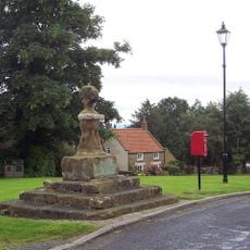
Village Cross
4.1 km
1, North End
4.9 km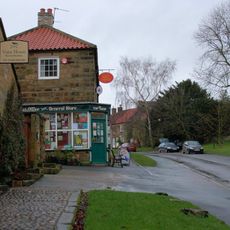
The Post Office
4.9 km
Lodges, Gate Piers, Gates And Screen Walls To Thimbleby Hall
3.9 km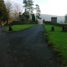
Kepwick Hall With Attached Service Wing And Coach House
2.6 km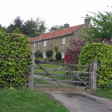
Swinestye Game Hill Farmhouse
5.8 km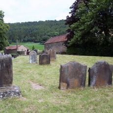
Group Of Font And Two Cross Bases With Shafts Approximately 5 Metres To South West Of Porch Of Church Of St Wilfrid
5.2 km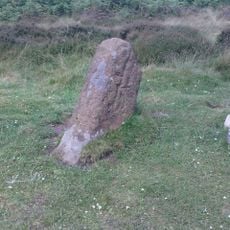
Section of the Cleave Dyke system on Arden Little Moor known as Steeple Cross Dyke including the Steeple Cross boundary stone
5 km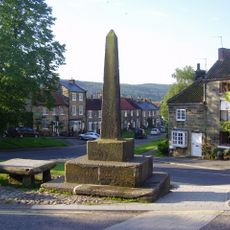
Village Cross
4.9 km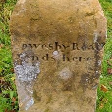
Boundary Stone On East Side Of Junction With Cophill Lane
3.6 km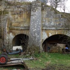
Lime kilns 400m south west of Furlands
2.8 km
47, South End
4.7 km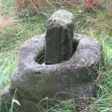
Wayside cross 600m east of Gallow Hill, known as Friar's Cross
4 km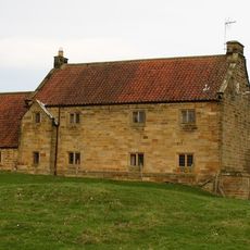
Manor Farmhouse and Attached Stable Block
102 m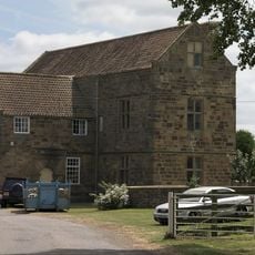
Leake Hall
2.9 km
No 66 And Attached Garden Walls And Railings
5.1 km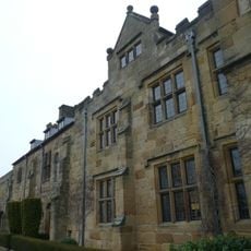
Mount Grace House
6.2 kmRecensioni
Ha visitato questo luogo? Tocchi le stelle per valutarlo e condividere la Sua esperienza o foto con la community! Provalo ora! Puoi annullarlo in qualsiasi momento.
Scopri tesori nascosti ad ogni viaggio!
Da piccoli caffè caratteristici a panorami nascosti, fuggi dalla folla e scova i posti che fanno davvero per te. La nostra app ti semplifica tutto: ricerca vocale, filtri furbi, percorsi ottimizzati e dritte autentiche da viaggiatori di tutto il mondo. Scaricala subito per vivere l'avventura sul tuo smartphone!

Un nuovo approccio alla scoperta turistica❞
— Le Figaro
Tutti i luoghi che meritano di essere esplorati❞
— France Info
Un’escursione su misura in pochi clic❞
— 20 Minutes