
Portsoken, ward of the City of London
Posizione: City of London
Coordinate GPS: 51.51440,-0.07520
Ultimo aggiornamento: 5 aprile 2025 alle 04:56
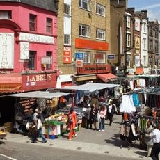
Petticoat Lane Market
284 m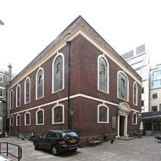
Sinagoga Bevis Marks di Londra
267 m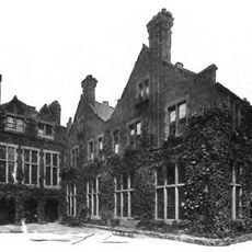
Toynbee Hall
267 m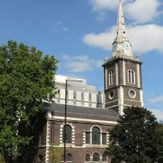
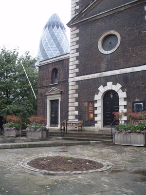
St Botolph's Aldgate
191 m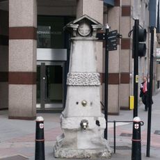
Aldgate Pump
193 m
St Botolph Building
141 m
The Aldgate School
159 m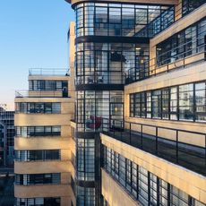
Ibex House
287 m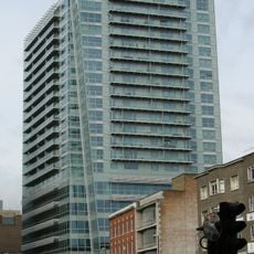
One Commercial Street
217 m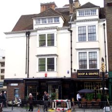
Hoop and Grapes
71 m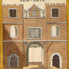
Aldgate
144 m
2-16, Creechurch Lane Ec3
282 m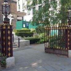
Iron Gateway To Yard Of Church Of St Botolph
97 m
72-75, Fenchurch Street Ec3
294 m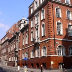
Sir John Cass College
176 m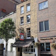
The White Swan Public House
256 m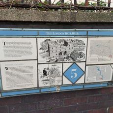
London Wall: remains of Roman wall, bastions and city gate of Aldgate from 17 Bevis Marks to India Street
174 m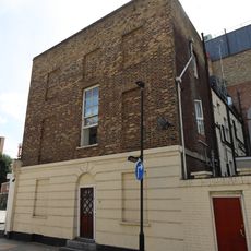
8, St Mark Street
283 m
Gatepiers At Entrance To Port Of London Authority's Warehouses
293 m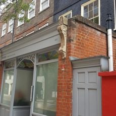
30 And 32, Alie Street E1
281 m
2, St Mark Street
271 m
17 and 20 Alie Street and area railings
242 m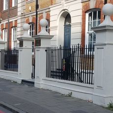
Gate And End Piers And Wall To Road
235 m
34, Alie Street E1
289 m
57 And 59, Mansell Street E1
240 m
28, Alie Street E1
275 m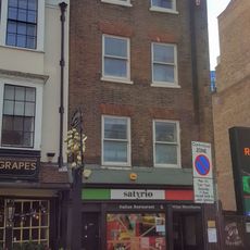
48 And 49, Aldgate High Street Ec3
70 m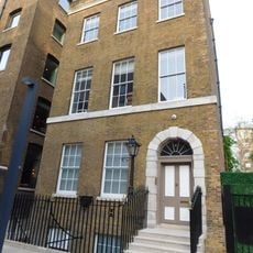
House To East Of Entrance To Port Of London Authority's Warehouses
281 mRecensioni
Ha visitato questo luogo? Tocchi le stelle per valutarlo e condividere la Sua esperienza o foto con la community! Provalo ora! Puoi annullarlo in qualsiasi momento.
Scopri tesori nascosti ad ogni viaggio!
Da piccoli caffè caratteristici a panorami nascosti, fuggi dalla folla e scova i posti che fanno davvero per te. La nostra app ti semplifica tutto: ricerca vocale, filtri furbi, percorsi ottimizzati e dritte autentiche da viaggiatori di tutto il mondo. Scaricala subito per vivere l'avventura sul tuo smartphone!

Un nuovo approccio alla scoperta turistica❞
— Le Figaro
Tutti i luoghi che meritano di essere esplorati❞
— France Info
Un’escursione su misura in pochi clic❞
— 20 Minutes