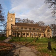
Roman Rig, Opera in terra lineare e monumento programmato a Rotherham e Sheffield, Inghilterra.
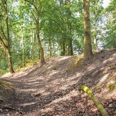
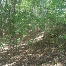
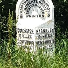
Roman Rig e un sistema di terrapieni lineari che si estende da Wincobank a Sheffield attraverso Kimberworth fino a Mexborough per circa 15 chilometri dello South Yorkshire. Vicino a Kimberworth, questa struttura si divide in due rami paralleli, con uno che passa per Greasbrough e l'altro che scorre a nord di Swinton.
La struttura fu costruita nel primo secolo d.C. dalle tribu briganti per difendersi dalle forze romane che avanzavano nell'Inghilterra settentrionale. Gli scavi archeologici mostrano che collegava due forti dell'Eta del Ferro e serviva come confine territoriale.
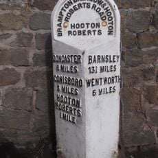
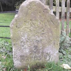
L'opera era conosciuta con nomi diversi nel corso dei secoli, tra cui Scotland Balk, Barber Balk e Danes Bank, mostrando come la gente locale la intendeva. Questi nomi riflettono storie e idee locali che si trasformarono nel tempo.
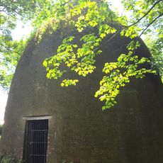
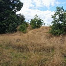
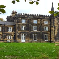
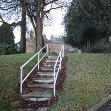
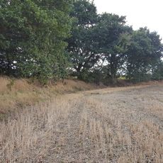
Il sistema si estende su terreni protetti in alcuni punti e rimane visibile in molti punti oggi, con la passeggiata che attraversa diversi tipi di paesaggio. E utile ricercare le varie sezioni prima della visita, poiche la topografia offre diversi gradi di visibilita.
La struttura collegava due siti fortificati piu antichi, uno a Wincobank e l'altro a Scholes Coppice, che potrebbero aver servito come punti di controllo di un antico confine. Questa doppia funzione come connettore e confine la rendeva un approccio tecnico notevole alla difesa territoriale.
La comunità dei viaggiatori curiosi
AroundUs riunisce migliaia di luoghi selezionati, consigli locali e gemme nascoste, arricchiti ogni giorno da oltre 60,000 contributori in tutto il mondo.