
Sherfield English, village in United Kingdom
Posizione: Test Valley
Coordinate GPS: 51.00757,-1.57467
Ultimo aggiornamento: 4 marzo 2025 alle 10:14

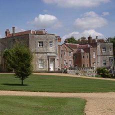
Mottisfont Abbey
4.7 km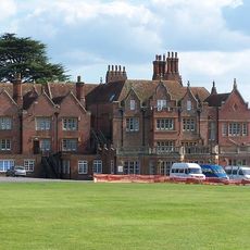
Embley Park
3.3 km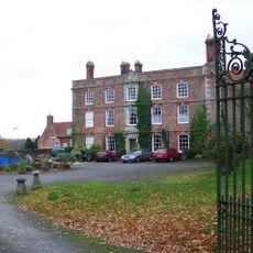
Landford Manor
4.8 km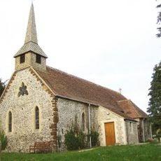
Church of St Peter
3.6 km
Church of St Andrew
4.9 km
Church of St John
3.5 km
Church of St Winfred
4.4 km
Church of St Margaret
2.8 km
Church of St Leonard
1.2 km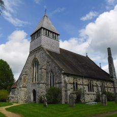
Church of All Saints
5.3 km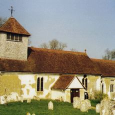
Church of St Andrew
4.4 km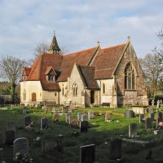
Church of All Saints
2.5 km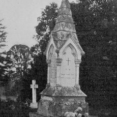
Churchyard Monument 18 Metres South Of St Margarets Church
2.9 km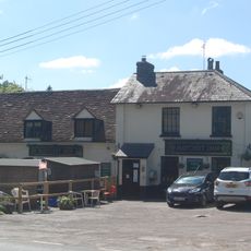
Hatchetts Inn
1.2 km
The Bear And Ragged Staff Public House
4.4 km
The Kings Head
5.4 km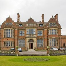
Melchet Court
3 km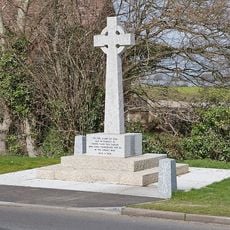
Wellow War Memorial
3.6 km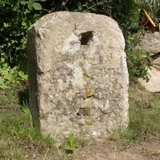
Milestone 150 Metres South East Of Dellens Farm, In Front Of Mile End
1.6 km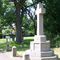
Awbridge War Memorial
2.3 km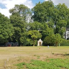
Summerhouse 100 Metres North East Of Mottisfont Abbey
4.8 km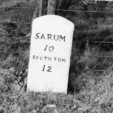
Milestone In Lay By Approximately 300 Metres South Of Bridge Farmhouse
5.1 km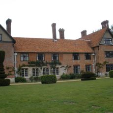
Stanbridge Earls
3.8 km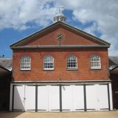
Stable Block
4.7 km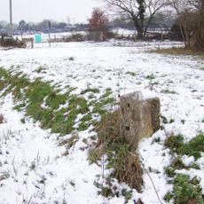
Milestone, Glebe Farm, jct Branches Lane
663 m
Milepost, Southampton Road, Plaitford; 100m E The Shoe Inn next to entrance "Forest Acre"
4.4 km
Milestone, Cross Roads by Post Office
1.6 km
Milestone, Palmer's Bridge; opp. entrance to Pine Lake,
4.4 kmRecensioni
Ha visitato questo luogo? Tocchi le stelle per valutarlo e condividere la Sua esperienza o foto con la community! Provalo ora! Puoi annullarlo in qualsiasi momento.
Scopri tesori nascosti ad ogni viaggio!
Da piccoli caffè caratteristici a panorami nascosti, fuggi dalla folla e scova i posti che fanno davvero per te. La nostra app ti semplifica tutto: ricerca vocale, filtri furbi, percorsi ottimizzati e dritte autentiche da viaggiatori di tutto il mondo. Scaricala subito per vivere l'avventura sul tuo smartphone!

Un nuovo approccio alla scoperta turistica❞
— Le Figaro
Tutti i luoghi che meritano di essere esplorati❞
— France Info
Un’escursione su misura in pochi clic❞
— 20 Minutes