
Swallow, village and civil parish in Lincolnshire, UK
Posizione: West Lindsey
Coordinate GPS: 53.51050,-0.22646
Ultimo aggiornamento: 20 marzo 2025 alle 16:28
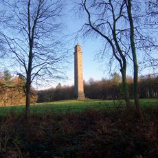
Pelham's Pillar
4.9 km
All Hallows Church, Clixby
7.6 km
Church of Saint Margaret, Laceby
5.1 km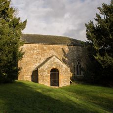
Church of All Saints
4.9 km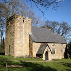
Church of St Nicholas
2 km
Church of St. John the Baptist
7.2 km
Church of Saint Andrew
2.7 km
Church of St.lawrence
5.3 km
Church of Saint Peter and Saint Paul
6.3 km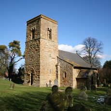
Church of St Mary Magdalene
4.6 km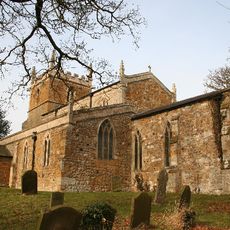
Church of Saint Helen
5.8 km
Church of All Saints
6.2 km
Church of St Mary
6.4 km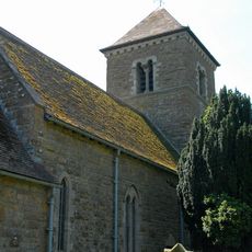
Church of St Nichols
3.9 km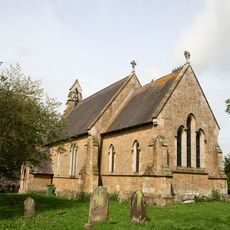
Church of Saint Martin
7 km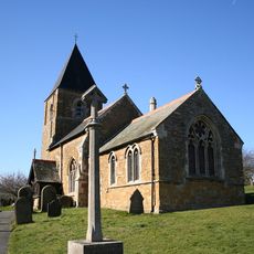
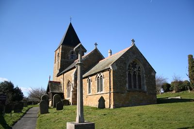
Church of Holy Trinity
101 m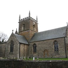
Church of St Edmund
4.5 km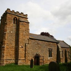
Church of St Mary
4.3 km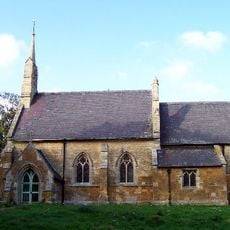
Church of Saint Andrew
3.2 km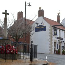
Caistor War Memorial
6.1 km
Fonaby House
6.5 km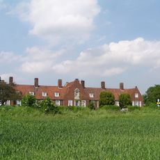
Capt F. W. McAulay Memorial Homes, Aylesby
5.6 km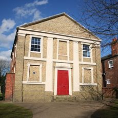
Caistor School Library
6.2 km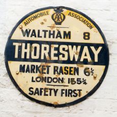
Wheelhouse At Thoresway Water Mill
6.4 km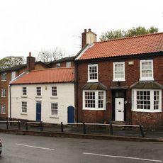
The Causeway
6.1 km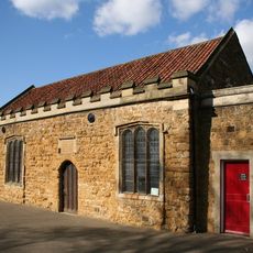
Caistor Grammar School Old Building
6.4 km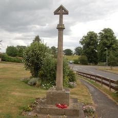
Swallow War Memorial, Lincolnshire
79 m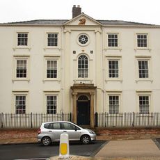
Caistor House No 19
6.1 kmRecensioni
Ha visitato questo luogo? Tocchi le stelle per valutarlo e condividere la Sua esperienza o foto con la community! Provalo ora! Puoi annullarlo in qualsiasi momento.
Scopri tesori nascosti ad ogni viaggio!
Da piccoli caffè caratteristici a panorami nascosti, fuggi dalla folla e scova i posti che fanno davvero per te. La nostra app ti semplifica tutto: ricerca vocale, filtri furbi, percorsi ottimizzati e dritte autentiche da viaggiatori di tutto il mondo. Scaricala subito per vivere l'avventura sul tuo smartphone!

Un nuovo approccio alla scoperta turistica❞
— Le Figaro
Tutti i luoghi che meritano di essere esplorati❞
— France Info
Un’escursione su misura in pochi clic❞
— 20 Minutes