
Swaton, human settlement in United Kingdom
Posizione: North Kesteven
Coordinate GPS: 52.92260,-0.30915
Ultimo aggiornamento: 9 marzo 2025 alle 01:00

Heckington Windmill
6.1 km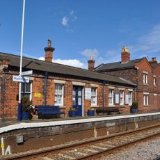
Heckington railway station
6.2 km
St Andrew's Church, Billingborough
3.8 km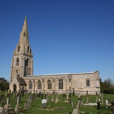
St Peter's Church, Threekingham
5 km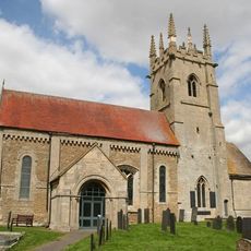
Church of St Andrew
5.5 km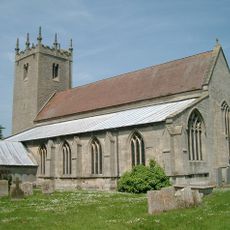
Church of St John the Baptist
5.6 km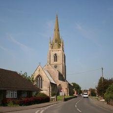
Church of St Andrew
3.3 km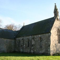
Church of St Andrew
5 km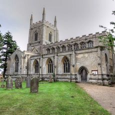
Church of St. Andrew
3 km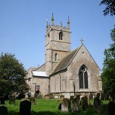
Church of St Michael
475 m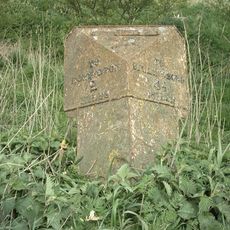
Milepost At Chapel Bridge
4.2 km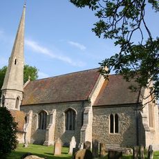
Church of St Andrew
5.1 km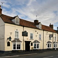
The Fortescue Arms Public House
4 km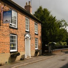
The Plough Inn
3 km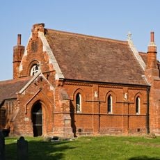
Former Parish Church Of St Nicholas
4.3 km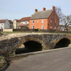
Packhorse bridge, Northbeck
5.3 km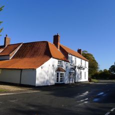
Three Kings Public House
4.9 km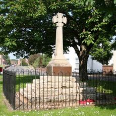
Helpringham village cross
3.3 km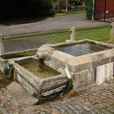
Well
2.9 km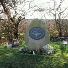
Memorial to the Princess Gwenllian, Sempringham
5.6 km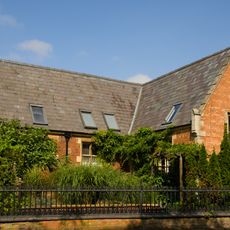
Gateways Walls And Railings At Number 1 (The Old School) Roadside Wall And Railings At Number 2 (School House)
3 km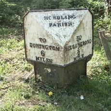
Milepost
3.1 km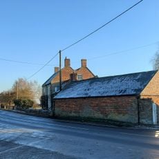
Priory Farmhouse, Bridge End
1.4 km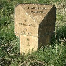
Milepost, Bridge End
1.3 km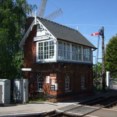
Heckington Signal Box
6.2 km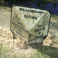
Mile Post
4.5 km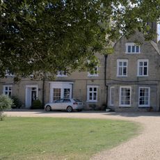
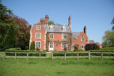
The Old Hall
3.8 km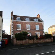
70, High Street
4.1 kmRecensioni
Ha visitato questo luogo? Tocchi le stelle per valutarlo e condividere la Sua esperienza o foto con la community! Provalo ora! Puoi annullarlo in qualsiasi momento.
Scopri tesori nascosti ad ogni viaggio!
Da piccoli caffè caratteristici a panorami nascosti, fuggi dalla folla e scova i posti che fanno davvero per te. La nostra app ti semplifica tutto: ricerca vocale, filtri furbi, percorsi ottimizzati e dritte autentiche da viaggiatori di tutto il mondo. Scaricala subito per vivere l'avventura sul tuo smartphone!

Un nuovo approccio alla scoperta turistica❞
— Le Figaro
Tutti i luoghi che meritano di essere esplorati❞
— France Info
Un’escursione su misura in pochi clic❞
— 20 Minutes