
Thirkleby High and Low with Osgodby
Thirkleby High and Low with Osgodby, civil parish in North Yorkshire, United Kingdom
Posizione: Hambleton
Coordinate GPS: 54.20330,-1.27072
Ultimo aggiornamento: 6 marzo 2025 alle 19:28

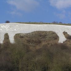
Kilburn White Horse
4.5 km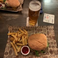
The Three Tuns
5.6 km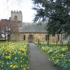
St Oswald's Church
5.2 km
St Mary's Church, Birdforth
3.2 km
Church of St John the Evangelist
4.8 km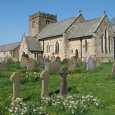
Church of St Mary
3.8 km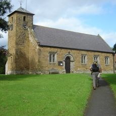
Church of St Mary
3.1 km
Church of St Cuthbert
4.3 km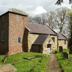
Church of St Mary Magdalene
4.3 km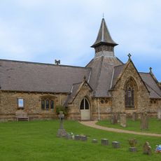
Church of St Mary
2.2 km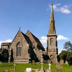
Church of All Saints, Great Thirkleby
380 m
War Memorial Set in Wall Approximately 7 Metres to South of Churchyard South Gateway
3.8 km
Thirsk Library
5.5 km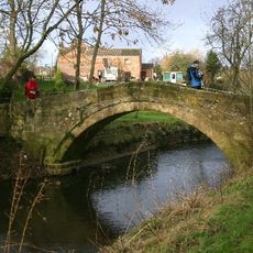
Town End Bridge, Sowerby
4.5 km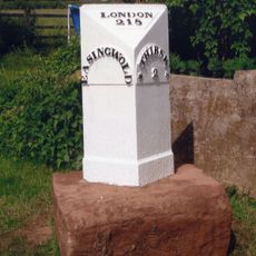
Milestone, 420m SE jct Bagby Lane
1.7 km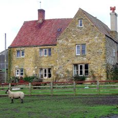
Hood Grange Farmhouse
4.4 km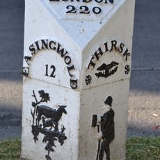
Mile Post Opposite Number 15
5.5 km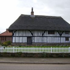
Thatch Cottage
3.2 km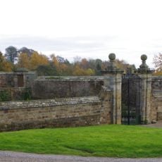
Front Garden Wall With Gate Piers At Osgodby Hall
2.6 km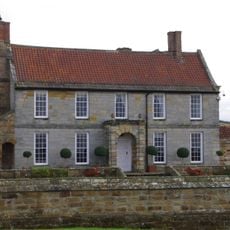
Osgodby Hall
2.6 km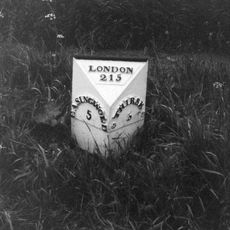
Mile Post On Birdforth Bridge
3.5 km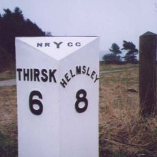
Milepost Approximately 225 Metres To West Of Track To Gormire Lake
4.7 km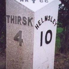
Milepost Approximately 170 Metres To East Of Drive To Whitestone Gardens
3.8 km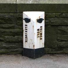
Milepost In Centre Of Birdforth Bridge
3.3 km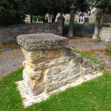
Mounting Block Approximately 6 Metres To South West Of South Gate To Church Of St Mary
3.8 km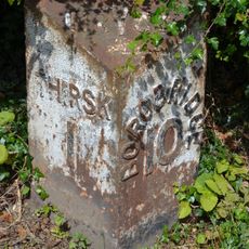
Mile Post East Of Cocked Hat Farm
5.6 km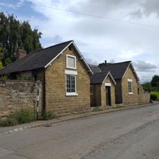
Former School
3.8 km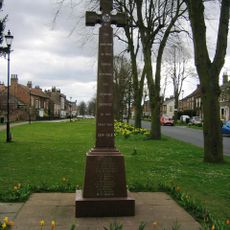
Sowerby War Memorial, North Yorkshire
5.2 kmRecensioni
Ha visitato questo luogo? Tocchi le stelle per valutarlo e condividere la Sua esperienza o foto con la community! Provalo ora! Puoi annullarlo in qualsiasi momento.
Scopri tesori nascosti ad ogni viaggio!
Da piccoli caffè caratteristici a panorami nascosti, fuggi dalla folla e scova i posti che fanno davvero per te. La nostra app ti semplifica tutto: ricerca vocale, filtri furbi, percorsi ottimizzati e dritte autentiche da viaggiatori di tutto il mondo. Scaricala subito per vivere l'avventura sul tuo smartphone!

Un nuovo approccio alla scoperta turistica❞
— Le Figaro
Tutti i luoghi che meritano di essere esplorati❞
— France Info
Un’escursione su misura in pochi clic❞
— 20 Minutes