
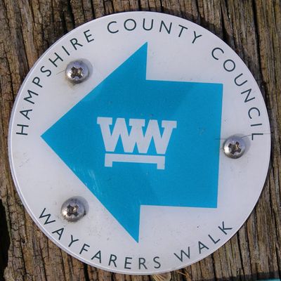
Wayfarer's Walk, footpath in England
Posizione: Hampshire
Coordinate GPS: 51.09500,-1.16700
Ultimo aggiornamento: 28 marzo 2025 alle 14:02
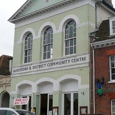
Alresford Community Centre
639 m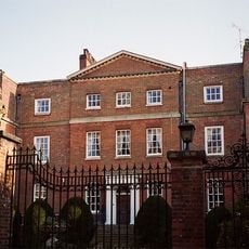
Old Arlesford House
672 m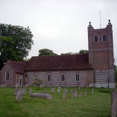
Church of St Mary, Old Alresford
608 m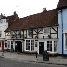
Horse And Groom
630 m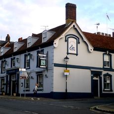
Swan Hotel
631 m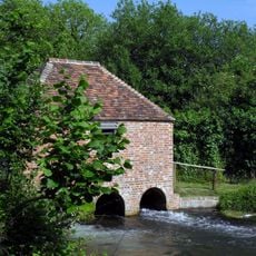
The Eel House
505 m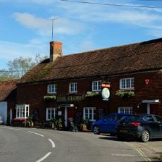
The Globe Inn
474 m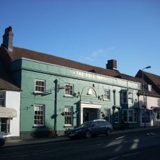
Bell Hotel
600 m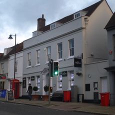
Post Office
622 m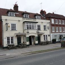
The Running Horse Public House
581 m
24, West Street, New Arlesford
589 m
Bay Tree House
586 m
16, West Street New Arlesford
592 m
56 And 58, West Street
580 m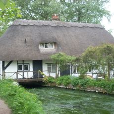
Old Fulling Mill
71 m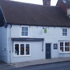
14, West Street New Arlesford
595 m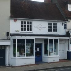
22, West Street, New Arlesford
589 m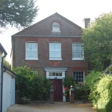
Museum Set Back, Between Nos 18 And 20
550 m
5, East Street
658 m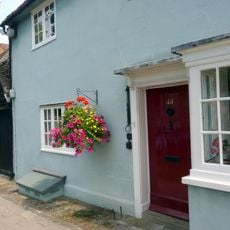
44, Broad Street
520 m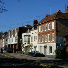
20, Pound Hill
581 m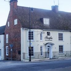
Old School House Restaurant Including Railings
580 m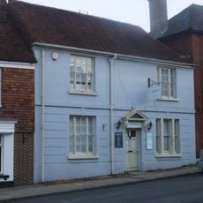
38, West Street
583 m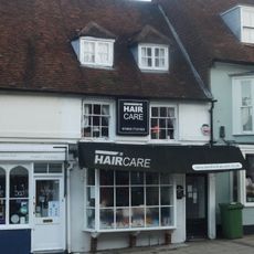
18 And 20, West Street
592 m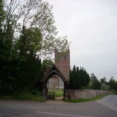
Lych-Gate 20 Metres North West Of St Mary's Church
633 m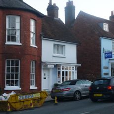
34, West Street
578 m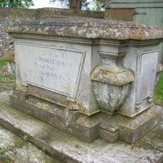
Six Tomb Chests In St Mary's Churchyard; Group Of 4 To North Of Chancel 2 To Bulpett Family; 2 To Veck Family. One To East Of Chancel To Robet Rodney And Family; One To South Of Tower To J T Villebois
625 m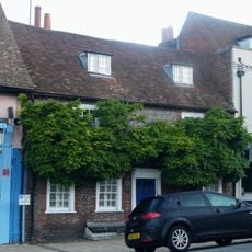
54, West Street
581 mRecensioni
Ha visitato questo luogo? Tocchi le stelle per valutarlo e condividere la Sua esperienza o foto con la community! Provalo ora! Puoi annullarlo in qualsiasi momento.
Scopri tesori nascosti ad ogni viaggio!
Da piccoli caffè caratteristici a panorami nascosti, fuggi dalla folla e scova i posti che fanno davvero per te. La nostra app ti semplifica tutto: ricerca vocale, filtri furbi, percorsi ottimizzati e dritte autentiche da viaggiatori di tutto il mondo. Scaricala subito per vivere l'avventura sul tuo smartphone!

Un nuovo approccio alla scoperta turistica❞
— Le Figaro
Tutti i luoghi che meritano di essere esplorati❞
— France Info
Un’escursione su misura in pochi clic❞
— 20 Minutes