
Weston, village and civil parish in Cheshire East, England
Posizione: Cheshire East
Confina con: Barthomley, Crewe Green, Crewe, Basford, Chorlton
Coordinate GPS: 53.06630,-2.40438
Ultimo aggiornamento: 19 marzo 2025 alle 04:35
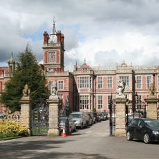
Crewe Hall
1.9 km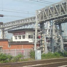
Crewe North Junction signal box
3.6 km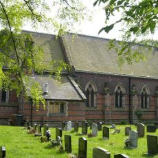
St Michael and All Angels Church, Crewe Green
3.2 km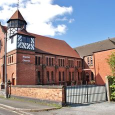
Union Street Baptist Church, Crewe
3.7 km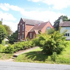
Englesea Brook Chapel and Museum
2.3 km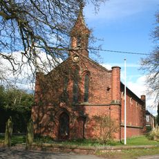
All Saints' Church, Weston, Cheshire
277 m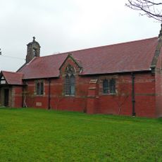
All Saints Church, Balterley
3.6 km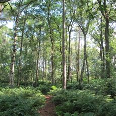
Black Firs and Cranberry Bog
2.7 km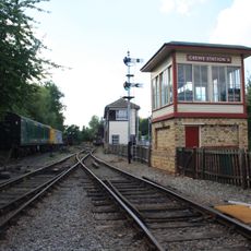
Crewe Heritage Centre
3.7 km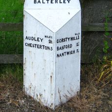
Mile Post 20 Metres South West Of All Saints Church
3.6 km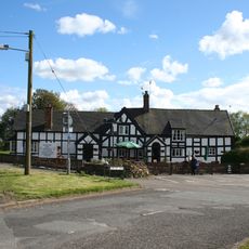
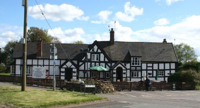
White Lion Inn
306 m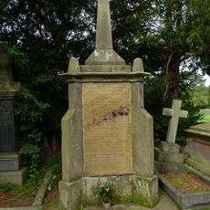
Monument To The Venerable Hugh Bourne In Primitive Methodist Graveyard
2.3 km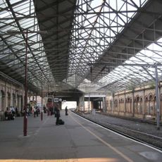
1867 buildings at Crewe Railway Station
3.2 km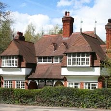
Stowford and Magnolia Cottages
1.2 km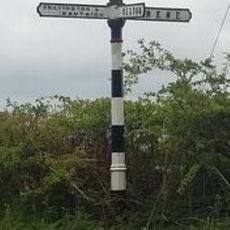
Signpost
516 m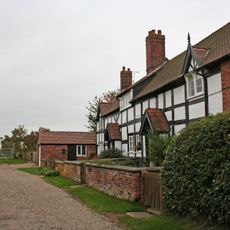
Barn Cottage and Elder Cottage
446 m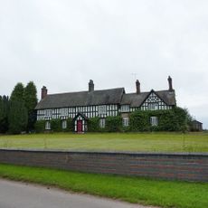
Old Hall Farmhouse
3.3 km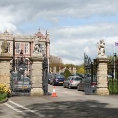
Gates, piers and wall at North end of Crewe Hall Drive
1.8 km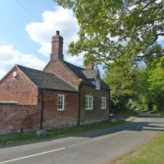
The Smithy
3.3 km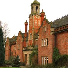
Former Stables at Crewe Hall
1.8 km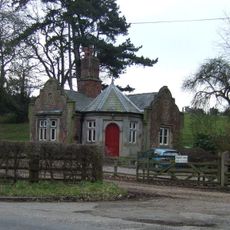
North Lodge to Crewe Hall Park
2.8 km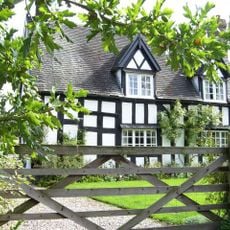
Mill Farmhouse
3.6 km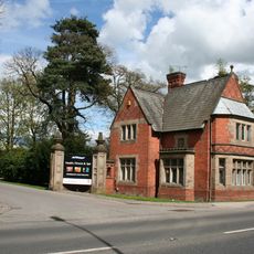
Golden Gates Lodge and entrance screen
1.2 km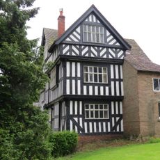
Lea Hall
3.6 km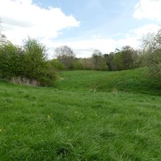
Hall Bank moated site, Wybunbury
3.6 km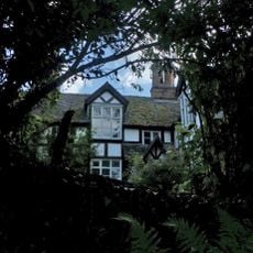
Church Bank
3.7 km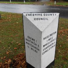
Milestone At Corner Of Narrow Lane
3.2 km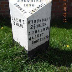
Milepost, High Street, nr Shavington village school
2.7 kmRecensioni
Ha visitato questo luogo? Tocchi le stelle per valutarlo e condividere la Sua esperienza o foto con la community! Provalo ora! Puoi annullarlo in qualsiasi momento.
Scopri tesori nascosti ad ogni viaggio!
Da piccoli caffè caratteristici a panorami nascosti, fuggi dalla folla e scova i posti che fanno davvero per te. La nostra app ti semplifica tutto: ricerca vocale, filtri furbi, percorsi ottimizzati e dritte autentiche da viaggiatori di tutto il mondo. Scaricala subito per vivere l'avventura sul tuo smartphone!

Un nuovo approccio alla scoperta turistica❞
— Le Figaro
Tutti i luoghi che meritano di essere esplorati❞
— France Info
Un’escursione su misura in pochi clic❞
— 20 Minutes