
Kidmore End, village and civil parish in South Oxfordshire district, Oxfordshire, England
Posizione: South Oxfordshire
Confina con: Checkendon, Eye and Dunsden, Sonning Common, Rotherfield Peppard, Woodcote, Goring Heath, Mapledurham
Sito web: https://kepc.co.uk
Coordinate GPS: 51.50900,-0.99500
Ultimo aggiornamento: 8 marzo 2025 alle 09:11
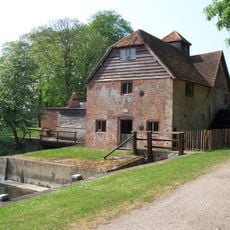
Mapledurham Watermill
3.9 km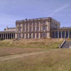
Caversham Park
4 km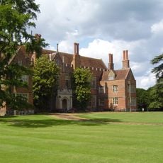
Mapledurham House
3.9 km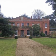
Crowsley Park
3 km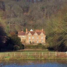
Hardwick House
4.2 km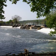
Mapledurham Lock
4.1 km
Clayfield Copse
3.5 km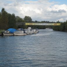
Reading Festival Bridge
4.8 km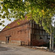
Chazey Court Barn
4.3 km
Appletree Eyot
4.9 km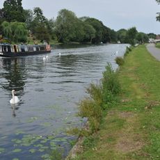
Thameside Promenade
4.6 km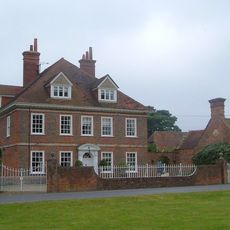
Kidmore House
881 m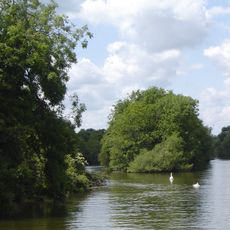
Poplar Island
4.9 km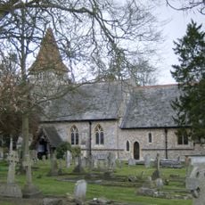
Church of All Saints
2.6 km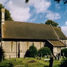
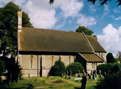
Church of St John the Baptist, Kidmore End
56 m
Church of St Margaret and Bardolf Aisle
3.9 km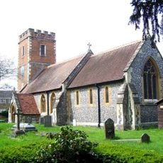
Church of St Mary
4.5 km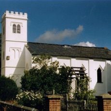
Grace Church
4.1 km
Old Grove House
3.1 km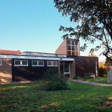
The Church of Christ the King
1.4 km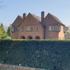
Four Corners
4.1 km
Hardwick House Dower House Approximately 5 Metres West
4.2 km
Three Chimneys
3 km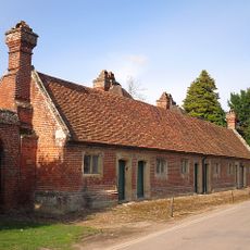
The Almshouse
3.8 km
Isomer
4.4 km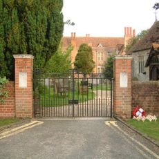
Mapledurham WWII Memorial Gates
3.9 km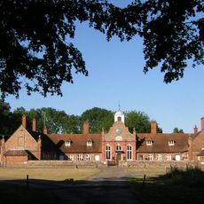
Alnutts Hospital And Attached Forecourt Walls And Gate
4.1 km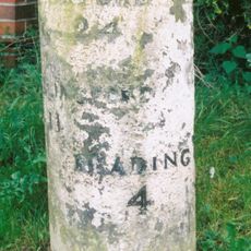
Milestone At Su 6582 7618
5.1 kmRecensioni
Ha visitato questo luogo? Tocchi le stelle per valutarlo e condividere la Sua esperienza o foto con la community! Provalo ora! Puoi annullarlo in qualsiasi momento.
Scopri tesori nascosti ad ogni viaggio!
Da piccoli caffè caratteristici a panorami nascosti, fuggi dalla folla e scova i posti che fanno davvero per te. La nostra app ti semplifica tutto: ricerca vocale, filtri furbi, percorsi ottimizzati e dritte autentiche da viaggiatori di tutto il mondo. Scaricala subito per vivere l'avventura sul tuo smartphone!

Un nuovo approccio alla scoperta turistica❞
— Le Figaro
Tutti i luoghi che meritano di essere esplorati❞
— France Info
Un’escursione su misura in pochi clic❞
— 20 Minutes