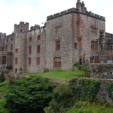
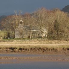
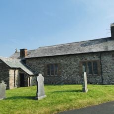
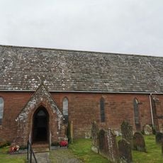
Glannoventa, Roman fort and settlement
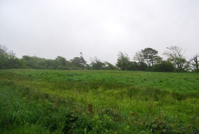
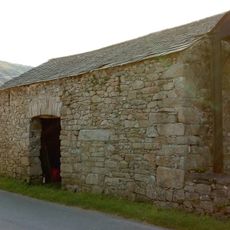
Glannoventa e un antico forte romano vicino a Ravenglass in Cumbria che serviva come avamposto costiero con muri di pietra spessi e fondamenti ancora visibili. La disposizione del sito rivela le aree dove erano alloggiati i soldati e dove venivano immagazzinate le provviste.
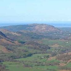
Glannoventa fu costruito come avamposto difensivo durante l'occupazione romana della Bretagna e probabilmente era attivo nel 2 e 3 secolo. Il forte aiutava a controllare la costa e a sorvegliare le rotte commerciali di questa regione.
Il nome Glannoventa deriva dal latino e riflette le sue origini romane. Le rovine mostrano come i soldati vivevano in questo avamposto costiero e mantenevano il controllo delle rotte commerciali.
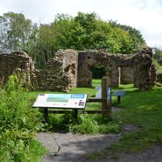
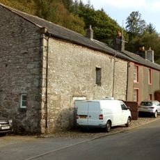
Il sito e accessibile tutto l'anno senza barriere o aree ristrette, consentendo ai visitatori di camminare liberamente intorno alle rovine. Indossare scarpe comode e portare acqua se si prevede di esplorare completamente l'area.
Le rovine sono state riscoperte all'inizio del 20 secolo quando gli archeologi hanno scoperto artefatti romani tra cui attrezzi, ceramiche e monete. Questi ritrovamenti forniscono preziose informazioni sulla vita quotidiana dei soldati e dei coloni che vivevano in questo avamposto costiero.
La comunità dei viaggiatori curiosi
AroundUs riunisce migliaia di luoghi selezionati, consigli locali e gemme nascoste, arricchiti ogni giorno da oltre 60,000 contributori in tutto il mondo.