
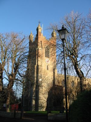
Church of All Saints, church in Cottenham, Cambridgeshire, United Kingdom
Posizione: Cottenham
Inizio: 13 secolo
Coordinate GPS: 52.29650,0.13249
Ultimo aggiornamento: 4 marzo 2025 alle 03:35
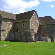
Denny Abbey
3.7 km
Belsar's Hill
3.6 km
Rampton Castle
2.5 km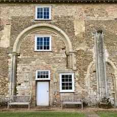
Denny Abbey & The Farmland Museum
3.7 km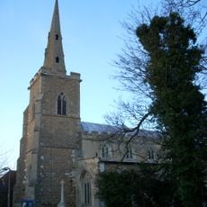
Parish Church of All Saints
3.9 km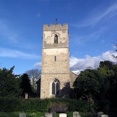
Church of All Saints
2.7 km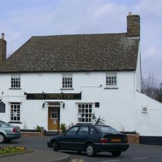
Chequers Public House
1.3 km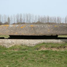
Eight Cantilevered Pillboxes At The Former Raf Oakington
4.6 km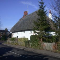
Stone Corner Cottage
4.8 km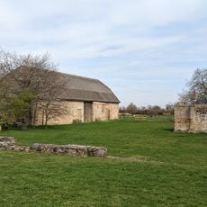
Denny Abbey Refectory
3.7 km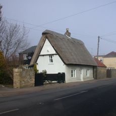
White Cottage
430 m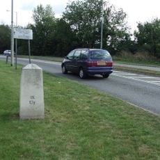
Milestone Half Mile North Of Goose Hall At Ngr 485 679
3.1 km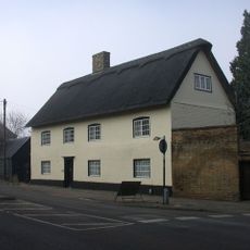
Pond Farmhouse
646 m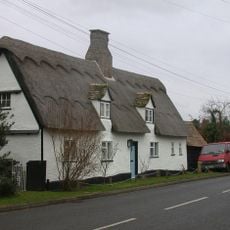
Glebe Cottage
4.4 km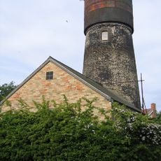
Tower Mill
1.7 km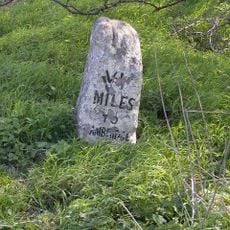
Milestone Half Mile South Of Green End Junction And Goose Hall At Ngr 484 664
3.6 km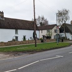
The Limes
1.7 km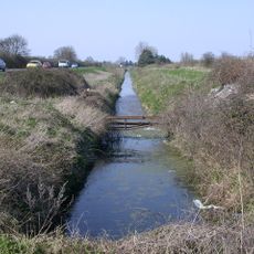
Length of Car Dyke between Green End and Top Moor
2.2 km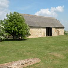
Barn To North Of Denny Abbey
3.7 km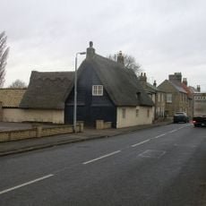
34, High Street
4.3 km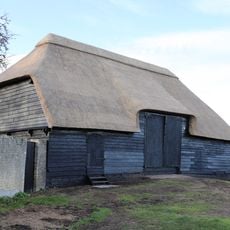
Tithe Barn The East Of Number 14 (The Old Rectory)
4 km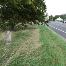
Milestone South Of Junction With Waterbeach Road At Ngr 487 649
4.9 km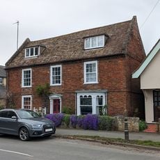
324, High Street
1.6 km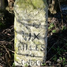
Milestone One And One Half Miles North Of Goose Hall At Ngr 492 693
3.8 km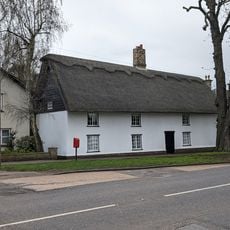
337 And 339, High Street
1.7 km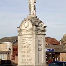
Cottenham War Memorial
1.4 km
56, Denmark Road
1.2 km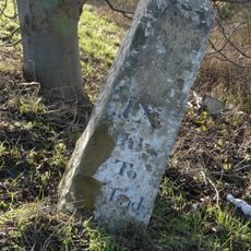
Milestone, N of entrance to School Farm, Chittering
4.9 kmRecensioni
Ha visitato questo luogo? Tocchi le stelle per valutarlo e condividere la Sua esperienza o foto con la community! Provalo ora! Puoi annullarlo in qualsiasi momento.
Scopri tesori nascosti ad ogni viaggio!
Da piccoli caffè caratteristici a panorami nascosti, fuggi dalla folla e scova i posti che fanno davvero per te. La nostra app ti semplifica tutto: ricerca vocale, filtri furbi, percorsi ottimizzati e dritte autentiche da viaggiatori di tutto il mondo. Scaricala subito per vivere l'avventura sul tuo smartphone!

Un nuovo approccio alla scoperta turistica❞
— Le Figaro
Tutti i luoghi che meritano di essere esplorati❞
— France Info
Un’escursione su misura in pochi clic❞
— 20 Minutes