
Wall to west of Houldsworth School, Grade II listed wall in Stockport, Greater Manchester, England, UK
Posizione: Stockport
Coordinate GPS: 53.43890,-2.16380
Ultimo aggiornamento: 7 marzo 2025 alle 07:33

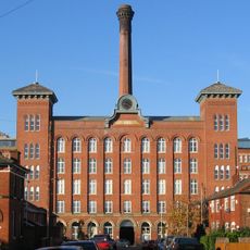
Houldsworth Mill, Reddish
313 m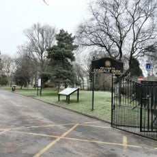
Debdale Park
2.4 km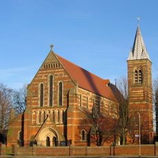
St. Elisabeth's Church
106 m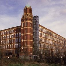
Broadstone Mill, Reddish
521 m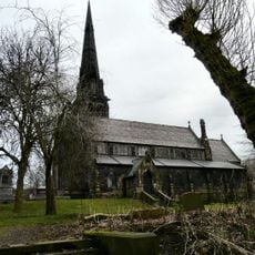
Brookfield Unitarian Church
2.4 km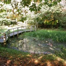
Highfield Country Park
1 km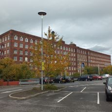
Meadow Mill Including The Tall Wing To The South West
2.5 km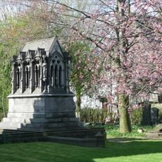
Peacock Mausoleum
2.4 km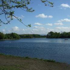
Gorton Reservoirs
2.5 km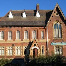
Houldsworth Working Men's Club
436 m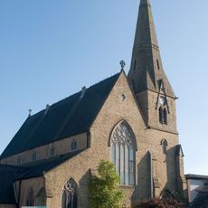
Church of St Peter
2 km
Church of St Mark
1.3 km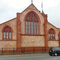
Church of St Andrew
1.5 km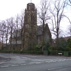
Church of St Paul
2.4 km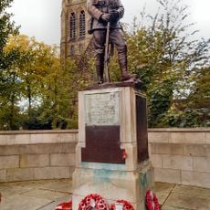
War memorial to front of Church of St Paul
2.4 km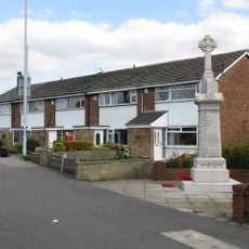
South Reddish War Memorial
1.7 km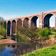
Reddish Viaduct
1.4 km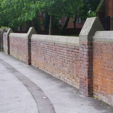
Wall to the west and south of Church of St Elizabeth
137 m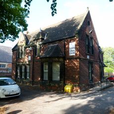
Rectory to Church of St Elisabeth
48 m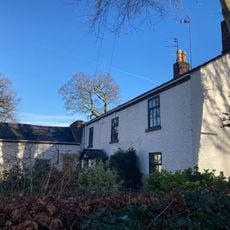
31, Parsonage Road
2.3 km
Houldsworth School
30 m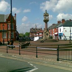
Clock and Drinking Fountain
284 m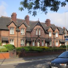
Prescott's Almshouses (including associated boundary and garden walls, gateways and gate piers, and outbuildings)
652 m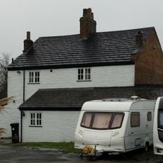
Shores Fold Farmhouse
949 m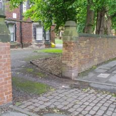
Wall to west of Church of St Elisabeth
45 m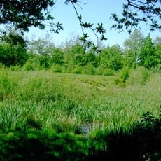
Peel Moat
2.1 km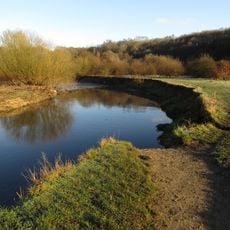
Reddish Vale Country Park
1.2 km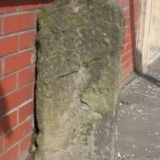
Milestone, Stockport Road, Levenshulme; opp. jcn Cringle Rd by No. 1156
1.5 kmRecensioni
Ha visitato questo luogo? Tocchi le stelle per valutarlo e condividere la Sua esperienza o foto con la community! Provalo ora! Puoi annullarlo in qualsiasi momento.
Scopri tesori nascosti ad ogni viaggio!
Da piccoli caffè caratteristici a panorami nascosti, fuggi dalla folla e scova i posti che fanno davvero per te. La nostra app ti semplifica tutto: ricerca vocale, filtri furbi, percorsi ottimizzati e dritte autentiche da viaggiatori di tutto il mondo. Scaricala subito per vivere l'avventura sul tuo smartphone!

Un nuovo approccio alla scoperta turistica❞
— Le Figaro
Tutti i luoghi che meritano di essere esplorati❞
— France Info
Un’escursione su misura in pochi clic❞
— 20 Minutes