
Moorside, building in South Tawton, West Devon, England, UK
Posizione: South Tawton
Coordinate GPS: 50.72580,-3.91222
Ultimo aggiornamento: 9 marzo 2025 alle 06:39

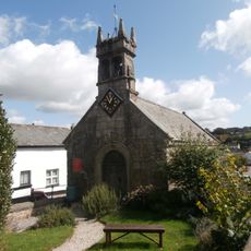
Chapel Of St Mary Including Boundary Walls Adjoining To North West
60 m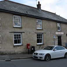
The Stores
40 m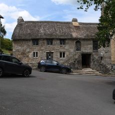
Church House
923 m
The Oxenham Arms
26 m
Buttercup Cottage
31 m
The Post Office
57 m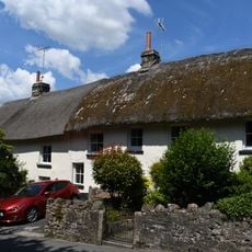
Shelley Cottage
226 m
Beacon Cottage
132 m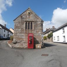
K6 Telephone Kiosk, South Zeal Village Centre
52 m
The Cottage
882 m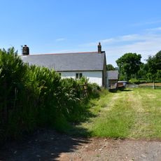
Ford Farmhouse
722 m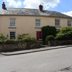
Yellands
204 m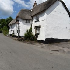
The Kings Arms
214 m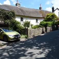
Shelley House
214 m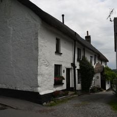
Dibbe Cottage Dibbe House Lower Dibbe Cottage
798 m
Sticklepath Bridge
913 m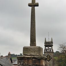
Village Cross
85 m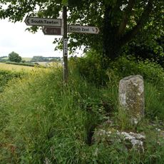
Moons Cross
597 m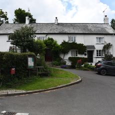
Town Barton
901 m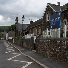
School And Master's House Including Playground And Garden Walls
94 m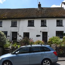
Bracondale Langmead
141 m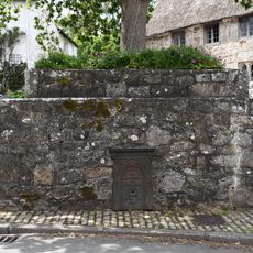
Crosstree Plinth
914 m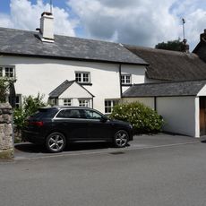
Snowdrops
27 m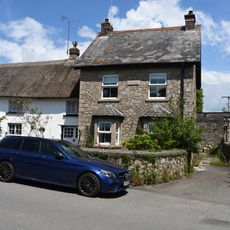
Cawsand View
36 m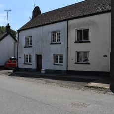
Mill House
16 m
Barn Approximately 1.5 Metres North Of Ford Farmhouse
734 m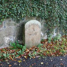
Milestone, by drive of Trafalgar House, S end of Sticklepath
666 m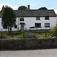
Crossways
82 mRecensioni
Ha visitato questo luogo? Tocchi le stelle per valutarlo e condividere la Sua esperienza o foto con la community! Provalo ora! Puoi annullarlo in qualsiasi momento.
Scopri tesori nascosti ad ogni viaggio!
Da piccoli caffè caratteristici a panorami nascosti, fuggi dalla folla e scova i posti che fanno davvero per te. La nostra app ti semplifica tutto: ricerca vocale, filtri furbi, percorsi ottimizzati e dritte autentiche da viaggiatori di tutto il mondo. Scaricala subito per vivere l'avventura sul tuo smartphone!

Un nuovo approccio alla scoperta turistica❞
— Le Figaro
Tutti i luoghi che meritano di essere esplorati❞
— France Info
Un’escursione su misura in pochi clic❞
— 20 Minutes