
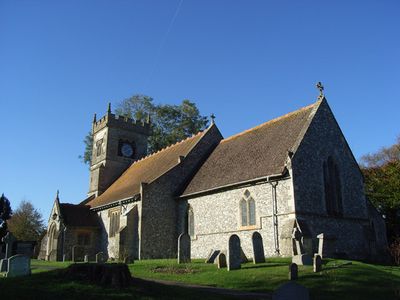
Church of St Andrew, church in Collingbourne Ducis, Wiltshire, United Kingdom
Posizione: Collingbourne Ducis
Coordinate GPS: 51.28160,-1.65415
Ultimo aggiornamento: 9 marzo 2025 alle 09:28
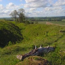
Sidbury Camp
4.1 km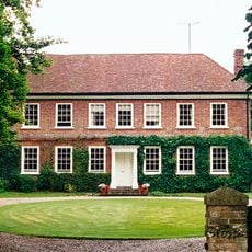
Brunton House
2.5 km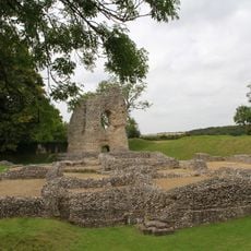
Ludgershall Castle
3.3 km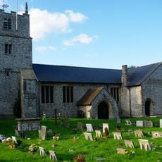
Church of St James
3.5 km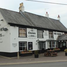
The Crown Inn
3.6 km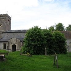
Church of St Mary
2.2 km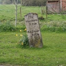
Milestone Approximately 30 Metres South Of Church Street Junction
184 m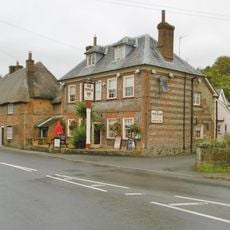
Blue Lion Inn
205 m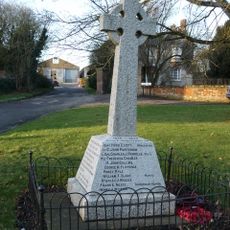
Collingbourne Ducis War Memorial
38 m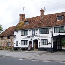
Queens Head Public House
3.6 km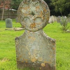
Unidentified Monument In Churchyard, Approximately 16 Metres South Of South Porch, Church Of St James
3.5 km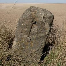
Milestone On Gore Down
2.8 km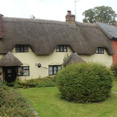
The Thatched Cottage
3.4 km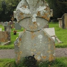
Unidentified Monument In Churchyard, Approximately 13 Metres South Of Tower, Church Of St James
3.5 km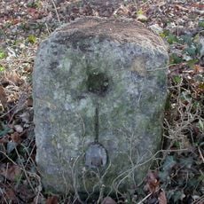
Milestone 1 Mile West Of Ludgershall Village
3 km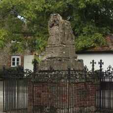
Ludgershall village cross
3.5 km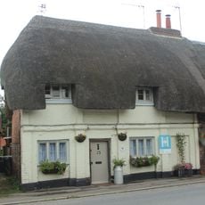
15, 17 And 19, Castle Street
3.4 km
1 and 3, Castle Street
3.5 km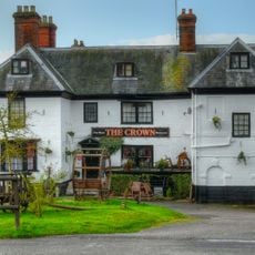
The Crown Inn
3.9 km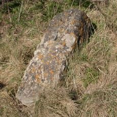
Milestone South-West Of Hougoumont Farm
1.9 km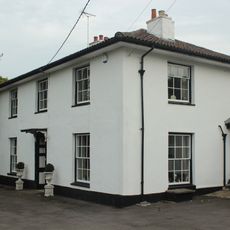
27, Tidworth Road
3.6 km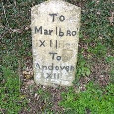
Milestone Opposite Aughton Farm
3.2 km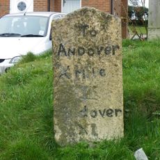
Milestone In Front Of Milend, At South End Of Village
1.6 km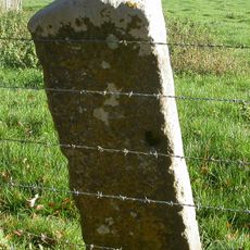
Milestone South Of Marlborough Road Cottages
3.4 km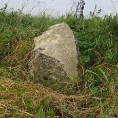
Milestone On Sunnyhill Down
1.9 km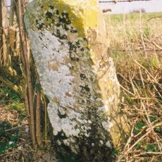
Milestone 100 Metres North Of Junction With A346
1.6 km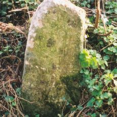
Milestone 80 Metres South Of Cadley Road Junction
1.1 km
Long barrow on Fairmile Down
3.4 kmRecensioni
Ha visitato questo luogo? Tocchi le stelle per valutarlo e condividere la Sua esperienza o foto con la community! Provalo ora! Puoi annullarlo in qualsiasi momento.
Scopri tesori nascosti ad ogni viaggio!
Da piccoli caffè caratteristici a panorami nascosti, fuggi dalla folla e scova i posti che fanno davvero per te. La nostra app ti semplifica tutto: ricerca vocale, filtri furbi, percorsi ottimizzati e dritte autentiche da viaggiatori di tutto il mondo. Scaricala subito per vivere l'avventura sul tuo smartphone!

Un nuovo approccio alla scoperta turistica❞
— Le Figaro
Tutti i luoghi che meritano di essere esplorati❞
— France Info
Un’escursione su misura in pochi clic❞
— 20 Minutes