
Canal Approximately 500 Metres Long, With The Drum Falls And Weir Inlet
Canal Approximately 500 Metres Long, With The Drum Falls And Weir Inlet, Grade I listed building in the United Kingdom
Posizione: Lindrick with Studley Royal and Fountains
Coordinate GPS: 54.11550,-1.57331
Ultimo aggiornamento: 24 marzo 2025 alle 15:17


Parco reale di Studley
23 m
Fountains Hall
1.1 km
Markenfield Hall
2.2 km
St Mary's Church, Studley Royal
568 m
Church of Saint Lawrence
1.5 km
Studley Royal Park including the Ruins of Fountains Abbey
70 m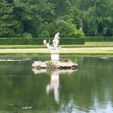
Statue of Neptune and Pedestal in Centre of Moon Pond
130 m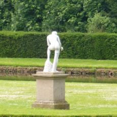
Statue on West Side of North Crescent Pond
52 m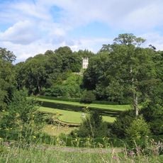
The Octagon Tower
87 m
Weir and reservoir below Tent Hill
403 m
Temple Of Piety On East Side Of Moon Pond
175 m
The Wrestlers
22 m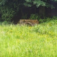
Robin Hood's Well
708 m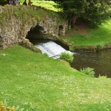
Rustic Bridge At South End Of The Canal, With Culvert And Arch To Reservoir
364 m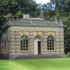
Banqueting House Approximately 100 Metres To West Of The Canal
181 m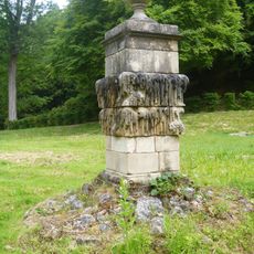
Quebec Monument
320 m
The Obelisk Approximately 80 Metres West Of Church Of St Mary
619 m
Tunnel Approximately 20 Metres West Of The Octagon, With Flanking Wall Attached To South
85 m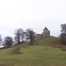
How Hill Tower
1.9 km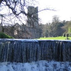
Weir At North End Of The Canal, With Piers, Fishing Pavilions And Balustrade
138 m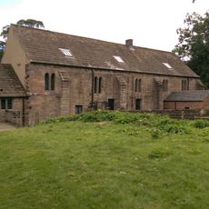
Abbey Mill
1 km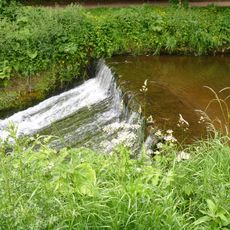
Weir On River Skell Approximately 120 Metres West Of The Reservoir
581 m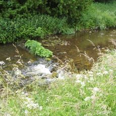
Weir On River Skell Approximately 10 Metres East Of The Infirmary At Fountains Abbey
724 m
The Canal Gates And Flanking Walls On West Side Of The Lake
143 m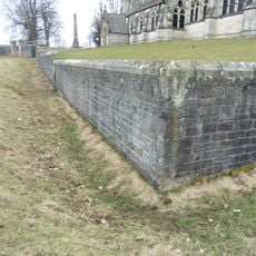
Boundary Wall With West And South Gates, Church Of St Mary
593 m
Site of medieval chapel and section of Fountains Park park pale, 170m south west of How Hill Farm
1.9 km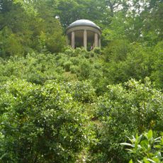
Temple Of Fame On Cliff Top At South Side Of Moon Pond
302 m
Stewards House, Now National Trust Restaurant And Shop
141 mRecensioni
Ha visitato questo luogo? Tocchi le stelle per valutarlo e condividere la Sua esperienza o foto con la community! Provalo ora! Puoi annullarlo in qualsiasi momento.
Scopri tesori nascosti ad ogni viaggio!
Da piccoli caffè caratteristici a panorami nascosti, fuggi dalla folla e scova i posti che fanno davvero per te. La nostra app ti semplifica tutto: ricerca vocale, filtri furbi, percorsi ottimizzati e dritte autentiche da viaggiatori di tutto il mondo. Scaricala subito per vivere l'avventura sul tuo smartphone!

Un nuovo approccio alla scoperta turistica❞
— Le Figaro
Tutti i luoghi che meritano di essere esplorati❞
— France Info
Un’escursione su misura in pochi clic❞
— 20 Minutes