
Waterperry House And Attached Wall
Waterperry House And Attached Wall, architectural structure in Waterperry with Thomley, South Oxfordshire, England, UK
Posizione: Waterperry with Thomley
Coordinate GPS: 51.75170,-1.08970
Ultimo aggiornamento: 3 marzo 2025 alle 03:55

Church of St Bartholomew, Holton
2.4 km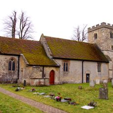
Church of St Peter and St Paul
2.2 km
Church of St Helen
2.9 km
Church of St Leonard, Waterstock
941 m
Parish Church of St Nicholas
2 km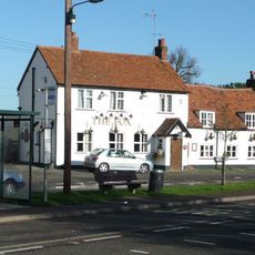
The Fox Inn
2.3 km
Church of St Mary, Churchyard Cross Approximately 10 Metres To South
40 m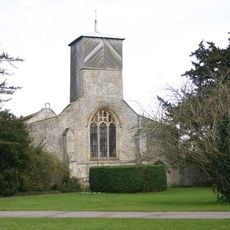
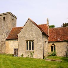
Church of St Mary
49 m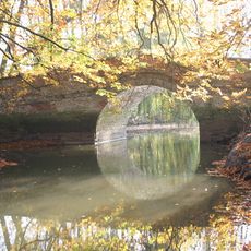
Waterperry House, Bow Bridge Approximately 750 Metres To South (That Part In The Parish Of Waterperry)
771 m
Choseley Cottage
2.3 km
The Rising Sun Public House
2.4 km
The Kings Arms Public House
2.9 km
Clifden Arms
2.1 km
109, High Street
3.2 km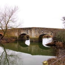
Ickford Bridge
1.9 km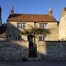
105, High Street
3.2 km
The Almshouses
2.5 km
Ambrose Farmhouse
3 km
19, 21 And 23, Crown Road
3.1 km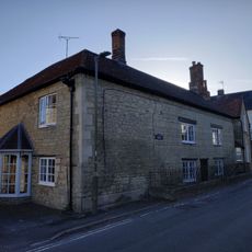
Cromwell House
3.2 km
College Farm
3.1 km
103, High Street
3.2 km
5, Roman Road
2.9 km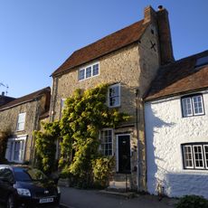
The Old Forge House
3.2 km
Waterstock House, Pump House With Attached Wall And Gatepier
971 m
101, High Street
3.2 km
Wall And Outbuildings Along Crown Road In Front Of Mulberry Court
3.1 km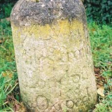
Milestone Approximately 60 Metres East Of The Avenue
2.5 kmRecensioni
Ha visitato questo luogo? Tocchi le stelle per valutarlo e condividere la Sua esperienza o foto con la community! Provalo ora! Puoi annullarlo in qualsiasi momento.
Scopri tesori nascosti ad ogni viaggio!
Da piccoli caffè caratteristici a panorami nascosti, fuggi dalla folla e scova i posti che fanno davvero per te. La nostra app ti semplifica tutto: ricerca vocale, filtri furbi, percorsi ottimizzati e dritte autentiche da viaggiatori di tutto il mondo. Scaricala subito per vivere l'avventura sul tuo smartphone!

Un nuovo approccio alla scoperta turistica❞
— Le Figaro
Tutti i luoghi che meritano di essere esplorati❞
— France Info
Un’escursione su misura in pochi clic❞
— 20 Minutes