
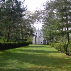
Cedar House, house in Elmbridge, Surrey, England, UK
Posizione: Elmbridge
Coordinate GPS: 51.32760,-0.40646
Ultimo aggiornamento: 10 marzo 2025 alle 09:54
Painshill
1.6 km
The Homewood
2.8 km
Foxwarren Park
3.2 km
Esher Commons
3.6 km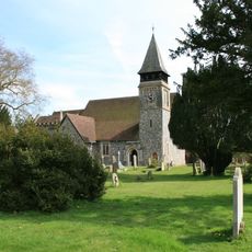
Church of St Mary, Stoke d'Abernon
2.3 km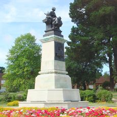
William Whiteley Memorial
3.1 km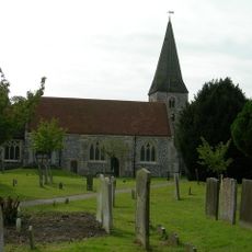
Church of St Andrew, Cobham
386 m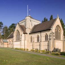
Church of St Mark
3.3 km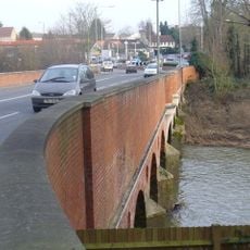
Cobham Bridge
1.4 km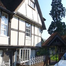
Church Stile House
356 m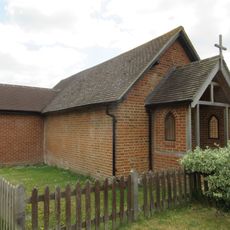
St Michael's Chapel
1.9 km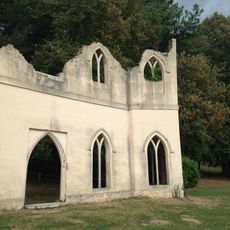
The Chapel Ruins
1.4 km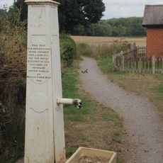
Village Pump
1.9 km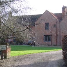
Slyfield Manor, With Attached Garden Walls
3 km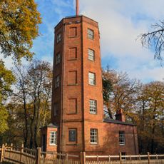
Chatley Semaphore Tower
2.6 km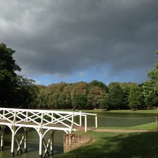
The Chinese Bridge
1.6 km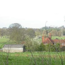
Chatley Farm House
2.4 km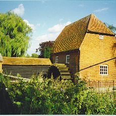
Cobham Mill
57 m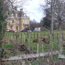
Cobham Park
754 m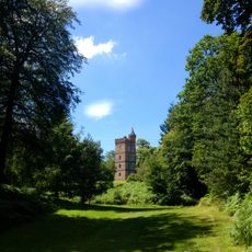
The Gothic Tower
2.6 km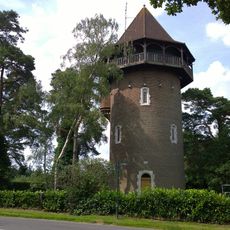
Water Tower
3.7 km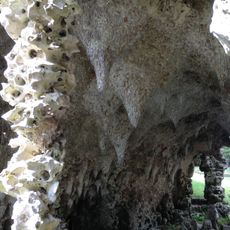
Remains Of Grotto And Rockwork Bridge On Grotto Island
1.7 km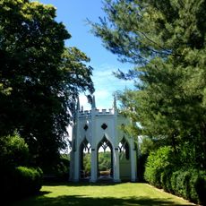
The Gothic Temple
1.5 km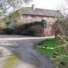
Slyfield Farmhouse, With Attached Garden Wall
3 km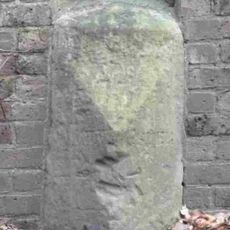
Milestone, Portsmouth Road, W of entrance to Claremont Park, 50m E of brow of hill before La Selva
3.3 km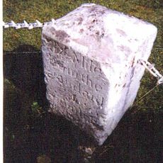
Milestone, Portsmouth Road, in garden of Ocho Rios, W of jct with Fairmile Lane, E of Fairmile Premier Inn (Fairmile Lodge)
1.7 km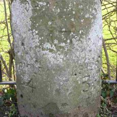
Milestone, Portsmouth Road, opp Northfield Road
826 m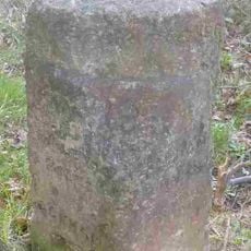
Milestone, S of jct with M25 on slip road (Old Lane)
3.6 kmRecensioni
Ha visitato questo luogo? Tocchi le stelle per valutarlo e condividere la Sua esperienza o foto con la community! Provalo ora! Puoi annullarlo in qualsiasi momento.
Scopri tesori nascosti ad ogni viaggio!
Da piccoli caffè caratteristici a panorami nascosti, fuggi dalla folla e scova i posti che fanno davvero per te. La nostra app ti semplifica tutto: ricerca vocale, filtri furbi, percorsi ottimizzati e dritte autentiche da viaggiatori di tutto il mondo. Scaricala subito per vivere l'avventura sul tuo smartphone!

Un nuovo approccio alla scoperta turistica❞
— Le Figaro
Tutti i luoghi che meritano di essere esplorati❞
— France Info
Un’escursione su misura in pochi clic❞
— 20 Minutes