
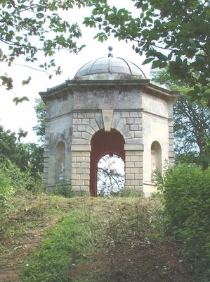
Octagonal Temple Approximately 250 Metres To South West Of Shotover Park
Octagonal Temple Approximately 250 Metres To South West Of Shotover Park, architectural structure in Forest Hill with Shotover, South Oxfordshire, England, UK
Posizione: Forest Hill with Shotover
Coordinate GPS: 51.75450,-1.15786
Ultimo aggiornamento: 5 aprile 2025 alle 21:02
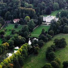
Shotover Park
260 m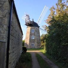
Wheatley Windmill
1.5 km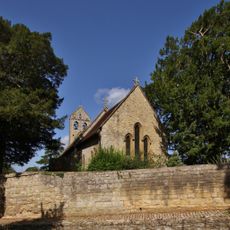
Church of St Nicholas
969 m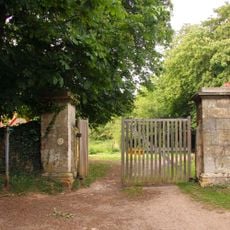
Western Pier of Gateway Approximately 1150 Metres South West of Shotover Park
877 m
The White Horse Public House
1.4 km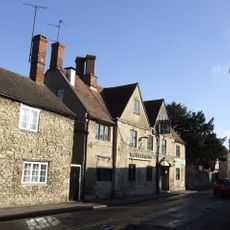
The King And Queen Public House
1.5 km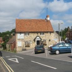
The Sun Inn
1.3 km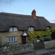
Hope Cottage
1.4 km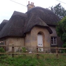
Hillside Cottage
916 m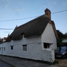
Merrick Cottage
1.3 km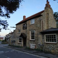
The Kings Arm's Public House
1.4 km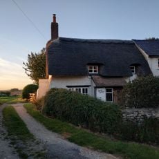
Merry Cottage
1.3 km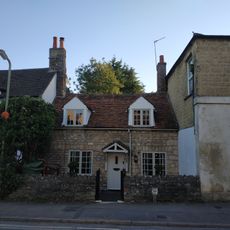
46, High Street
1.5 km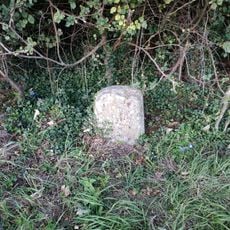
Milestone Approximately 350 Metres South East Of Junction With B4027
1.2 km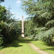
The Obelisk Approximately 200 Metres To West Of Shotover Park
178 m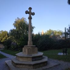
Wheatley War Memorial
1.6 km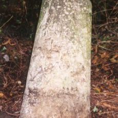
Milestone Approximately 160 Metres South West of Redhill Farmhouse
754 m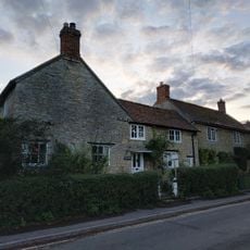
Corner House
1.4 km
O'Briens
1.4 km
55, High Street
1.5 km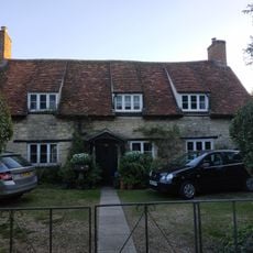
38, High Street
1.5 km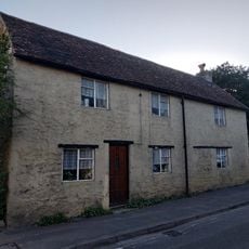
40, High Street
1.5 km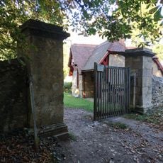
Eastern Pier of Gateway Approximately 1150 Metres South West of Shotover Park
873 m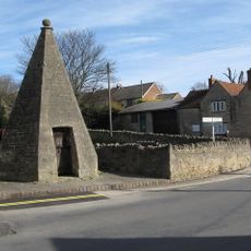
Lock Up
1.5 km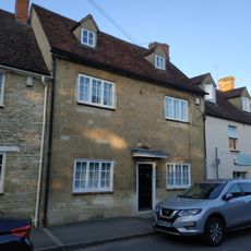
The Crest
1.5 km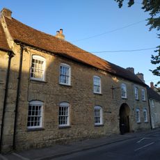
The George Gallery
1.4 km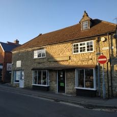
47, High Street
1.5 km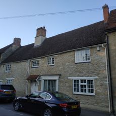
Micheldene
1.4 kmRecensioni
Ha visitato questo luogo? Tocchi le stelle per valutarlo e condividere la Sua esperienza o foto con la community! Provalo ora! Puoi annullarlo in qualsiasi momento.
Scopri tesori nascosti ad ogni viaggio!
Da piccoli caffè caratteristici a panorami nascosti, fuggi dalla folla e scova i posti che fanno davvero per te. La nostra app ti semplifica tutto: ricerca vocale, filtri furbi, percorsi ottimizzati e dritte autentiche da viaggiatori di tutto il mondo. Scaricala subito per vivere l'avventura sul tuo smartphone!

Un nuovo approccio alla scoperta turistica❞
— Le Figaro
Tutti i luoghi che meritano di essere esplorati❞
— France Info
Un’escursione su misura in pochi clic❞
— 20 Minutes