
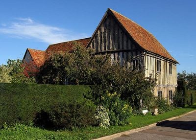
The Emplins, architectural structure in Gamlingay, South Cambridgeshire, England, UK
Posizione: Gamlingay
Coordinate GPS: 52.15510,-0.18601
Ultimo aggiornamento: 10 marzo 2025 alle 09:58
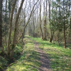
Potton Wood
2.4 km
Church of St Mary the Virgin
82 m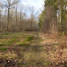
Gamlingay Wood
1.1 km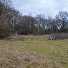
Gamlingay Cinques Common
1.7 km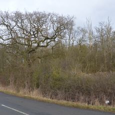
Weaveley and Sand Woods
2.4 km
Church of St James the Great
2.4 km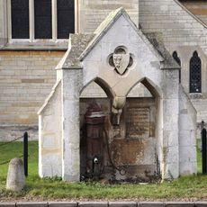
Village pump and drinking fountain
2.4 km
Church of St John the Baptist, Cockayne Hatley
3 km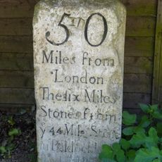
Milestone, Outside Park Farmhouse
2.5 km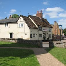
The Wheatsheaf Public House
118 m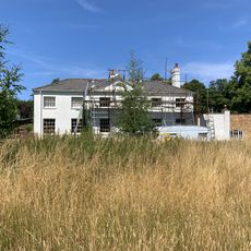
Waresley Hall
2.4 km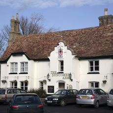
Duncombe Arms Public House
2.4 km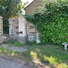
Village Pump About 10 Yards From Entry To Waresley Hall
2.5 km
5 And 7, Gamlingay Road
2.3 km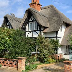
5 and 7, Vicarage Road
2.4 km
17 And 19, Vicarage Road
2.4 km
1 and 3, Gamlingay Road
2.4 km
9, 11 And 13, Gamlingay Road
2.3 km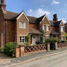
13 and 15, Vicarage Road
2.4 km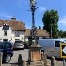
Lamp Standard 20 Yards South Of Duncombe Arms Public House
2.4 km
Cross In Churchyard East Of Old Vicarage
2.4 km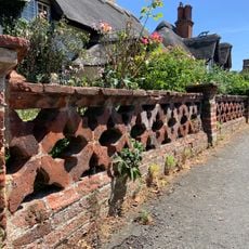
Garden Wall To Numbers 1,3,5,7,11,13,15,17 And 19
2.4 km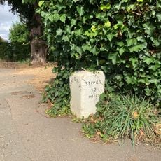
Milestone About 10 Yards West Of Duncombe Arms
2.4 km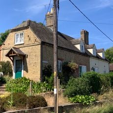
1 and 2, the Bank
2.5 km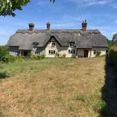
5 And 6, The Square
2.5 km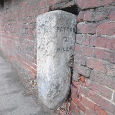
Milestone In Garden Wall To Number 34
490 m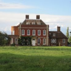
Tetworth Hall
2.5 km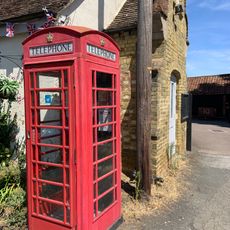
K6 Telephone Box
2.4 kmRecensioni
Ha visitato questo luogo? Tocchi le stelle per valutarlo e condividere la Sua esperienza o foto con la community! Provalo ora! Puoi annullarlo in qualsiasi momento.
Scopri tesori nascosti ad ogni viaggio!
Da piccoli caffè caratteristici a panorami nascosti, fuggi dalla folla e scova i posti che fanno davvero per te. La nostra app ti semplifica tutto: ricerca vocale, filtri furbi, percorsi ottimizzati e dritte autentiche da viaggiatori di tutto il mondo. Scaricala subito per vivere l'avventura sul tuo smartphone!

Un nuovo approccio alla scoperta turistica❞
— Le Figaro
Tutti i luoghi che meritano di essere esplorati❞
— France Info
Un’escursione su misura in pochi clic❞
— 20 Minutes