
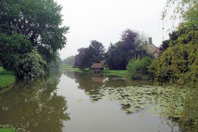
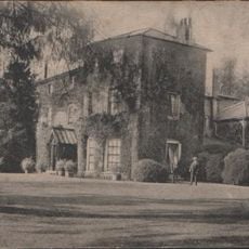
Narborough Hall, house in Narborough, Norfolk, United Kingdom
Posizione: Narborough
Coordinate GPS: 52.68770,0.58679
Ultimo aggiornamento: 5 marzo 2025 alle 13:17
Gayton Hall
6.1 km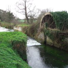
Narborough Bone Mill
1.8 km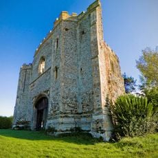
Pentney Priory
4.9 km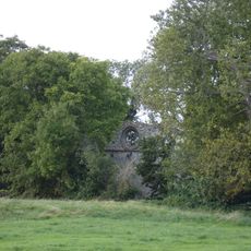
Abbazia di Marham
5.4 km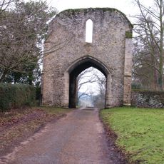
West Acre Priory
3.7 km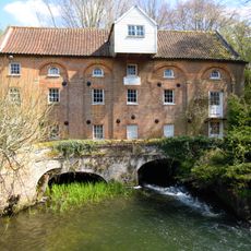
Narborough Watermill
215 m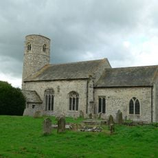
Church of St Mary
5.4 km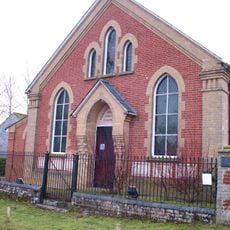
Westacre Theatre
3.4 km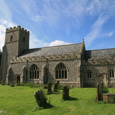
Church of All Saints
3.8 km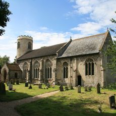
Church of St Mary
3 km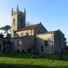
Church of St Mary
1.6 km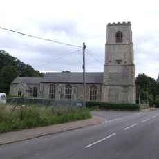
Church of Holy Trinity
5.3 km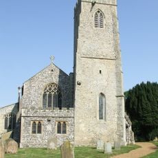
Church of All Saints
333 m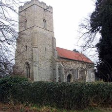
Church of St Cecilia
3.9 km
Church of St Mary Magdalene
2.9 km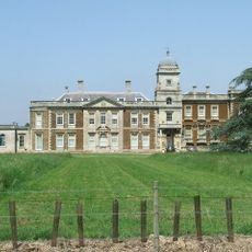
Narford Hall
1.8 km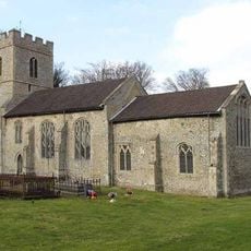
Church of St George
6.2 km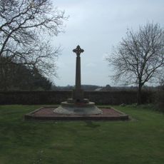
West Acre and District War Memorial
3.7 km
Gatehouse at Pentney Priory
4.9 km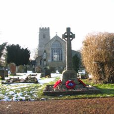
Narborough War Memorial Cross
285 m
Marham War Memorial
5.4 km
Remains Of Base Of South West Tower And Part Of West Claustral Range Of West Acre Priory, 20 Metres East Of Abbey Farm House
3.8 km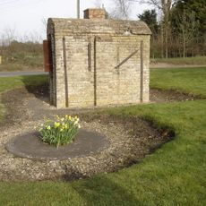
Wheelwright's Oven At Tf 7428 1678
3.7 km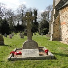
Pentney War Memorial
2.9 km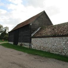
Barn At Gatehouse Farm Circa 50 Metres West Of Church Of St Mary
5.4 km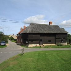
The Wooden House
3.7 km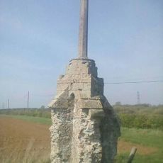
Wayside cross 190m south west of Crossgates Farm
3.3 km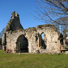
Remains of St Andrew's Church
3.1 kmRecensioni
Ha visitato questo luogo? Tocchi le stelle per valutarlo e condividere la Sua esperienza o foto con la community! Provalo ora! Puoi annullarlo in qualsiasi momento.
Scopri tesori nascosti ad ogni viaggio!
Da piccoli caffè caratteristici a panorami nascosti, fuggi dalla folla e scova i posti che fanno davvero per te. La nostra app ti semplifica tutto: ricerca vocale, filtri furbi, percorsi ottimizzati e dritte autentiche da viaggiatori di tutto il mondo. Scaricala subito per vivere l'avventura sul tuo smartphone!

Un nuovo approccio alla scoperta turistica❞
— Le Figaro
Tutti i luoghi che meritano di essere esplorati❞
— France Info
Un’escursione su misura in pochi clic❞
— 20 Minutes