
The Hall, house in Brabourne, Kent, United Kingdom
Posizione: Brabourne
Coordinate GPS: 51.14410,0.98429
Ultimo aggiornamento: 11 luglio 2025 alle 09:20
Hatch Park
3 km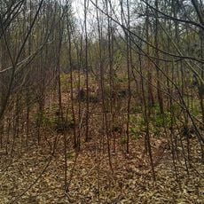
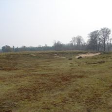
Shrub's Wood Long Barrow
3.5 km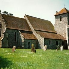
Church of St Mary
3.7 km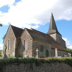
Church of St Mary
4 km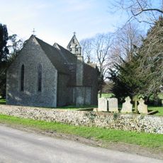
Church of St Peter
4 km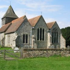
Church of St James
3.7 km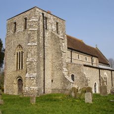
Church of St Mary
1.8 km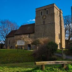
Church of St Mary
2.8 km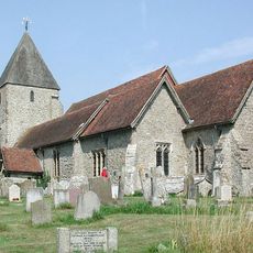
Church of St John the Baptist
4.8 km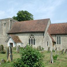
Church of St Mary
3.4 km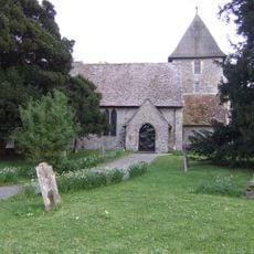
Church of St Mary, Sellindge
4.1 km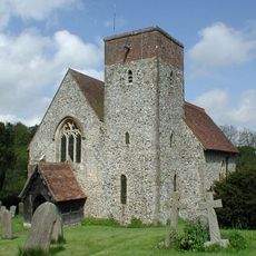
Church of St Mary
2.4 km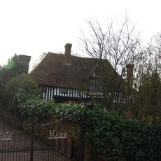
Kite Manor
3.8 km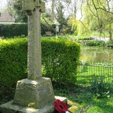
Elmstead and Hastingleigh War Memorial
2.6 km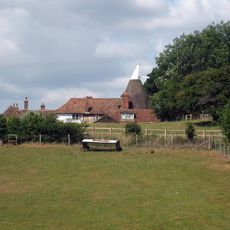
Lodge House
2.9 km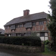
Yew Trees
5.2 km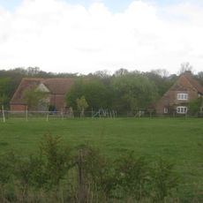
Barn about 20 metres west
2.3 km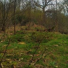
Oval barrow in Shrub's Wood
3.5 km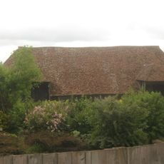
Barn About 30 Metres North West Of Mersham Manor
4.8 km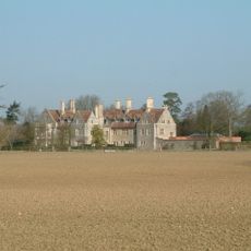
Monks Horton Priory
3.7 km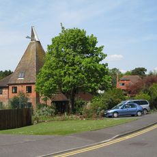
Oast House To East Of Lacton Farmhouse
4.9 km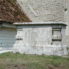
Chest Tomb To Thomas Wyborn, About 2 Metres South Of Church Of St Mary
3.4 km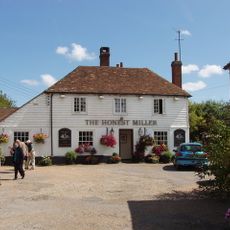
The Honest Miller
2.9 km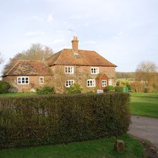
Bitford
3.3 km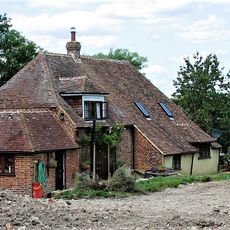
Smeeds Farm
4 km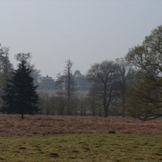
Mersham Le Hatch
3.5 km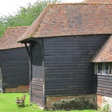
Barn With Sheds About 50 Metres West Of Court Lodge
2.8 km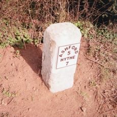
Milestone, Hythe Road, 40m E of Smeeth Crossroads
3.5 kmRecensioni
Ha visitato questo luogo? Tocchi le stelle per valutarlo e condividere la Sua esperienza o foto con la community! Provalo ora! Puoi annullarlo in qualsiasi momento.
Scopri tesori nascosti ad ogni viaggio!
Da piccoli caffè caratteristici a panorami nascosti, fuggi dalla folla e scova i posti che fanno davvero per te. La nostra app ti semplifica tutto: ricerca vocale, filtri furbi, percorsi ottimizzati e dritte autentiche da viaggiatori di tutto il mondo. Scaricala subito per vivere l'avventura sul tuo smartphone!

Un nuovo approccio alla scoperta turistica❞
— Le Figaro
Tutti i luoghi che meritano di essere esplorati❞
— France Info
Un’escursione su misura in pochi clic❞
— 20 Minutes