
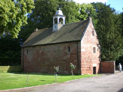
Old Stable Block, architectural structure in Whitmore, Newcastle-under-Lyme, England, UK
Posizione: Whitmore
Coordinate GPS: 52.96830,-2.28383
Ultimo aggiornamento: 18 marzo 2025 alle 02:36

Keele Hall
3.6 km
Maer Hall
3.4 km
Whitmore Hall
54 m
Madeley Old Manor
3.9 km
Church of St John the Baptist
4 km
Church of St Peter
3.4 km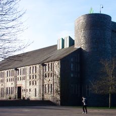
Keele University Chapel
3.9 km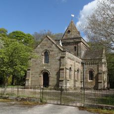
Church of St Thomas
2.4 km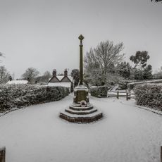
Keele War Memorial
4 km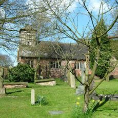
Church of St Mary and All Saints
223 m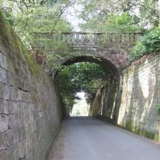
Park Bridge, Steps And Revetment Walls About 100 Metres North Of Maer Hall
3.4 km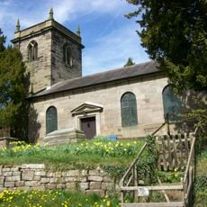
Church of St Lawrence
3.5 km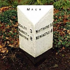
Milepost At Ngr Sj 7853 3968
3 km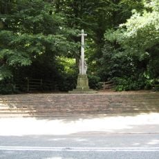
Maer War Memorial
3.2 km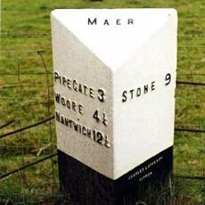
Milepost At Ngr Sj 7823 3884
3.7 km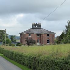
Butterton Grange Farmhouse
3.4 km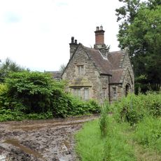
Lymes Lodge
2.9 km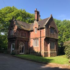
Newcastle Lodge
4.4 km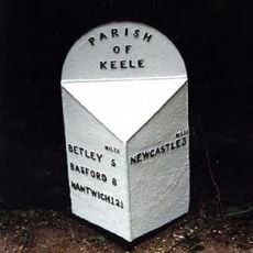
Milepost At Ngr Sj 8062 4542
4.2 km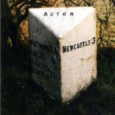
Milepost At Ngr Sj 8242 4217
1.7 km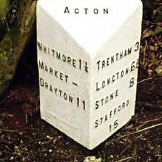
Milepost At Ngr Sj 8257 4183
1.6 km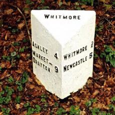
Milepost At Ngr Sj 7980 4054
1.4 km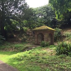
Well House About 70 Metres South East Of Keele Hall
3.6 km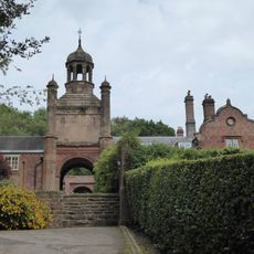
The Clock House
3.6 km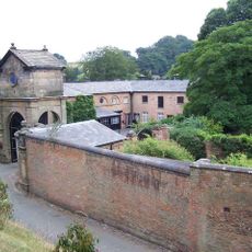
Gatehouse, flanking walls and bollards to Maer Hall
3.5 km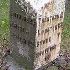
Milepost At Ngr Sj 8400 4186
3 km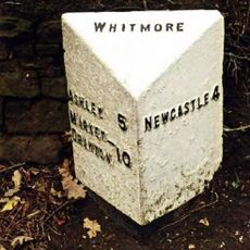
Milepost At Ngr Sj 8132 4112
302 m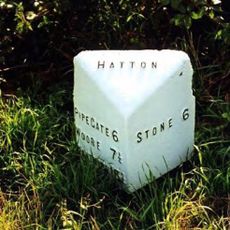
Milepost, The Rowe
3.5 kmRecensioni
Ha visitato questo luogo? Tocchi le stelle per valutarlo e condividere la Sua esperienza o foto con la community! Provalo ora! Puoi annullarlo in qualsiasi momento.
Scopri tesori nascosti ad ogni viaggio!
Da piccoli caffè caratteristici a panorami nascosti, fuggi dalla folla e scova i posti che fanno davvero per te. La nostra app ti semplifica tutto: ricerca vocale, filtri furbi, percorsi ottimizzati e dritte autentiche da viaggiatori di tutto il mondo. Scaricala subito per vivere l'avventura sul tuo smartphone!

Un nuovo approccio alla scoperta turistica❞
— Le Figaro
Tutti i luoghi che meritano di essere esplorati❞
— France Info
Un’escursione su misura in pochi clic❞
— 20 Minutes