
Round barrow SW of Lower Farm, round barrow in Preston Candover, Basingstoke and Deane, England, UK
Posizione: Preston Candover
Coordinate GPS: 51.16460,-1.14152
Ultimo aggiornamento: 6 aprile 2025 alle 05:55
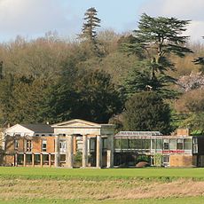
Stratton Park
5.9 km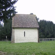
Old Church of St Mary the Virgin, Preston Candover
518 m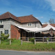
The Woolpack Inn
4.3 km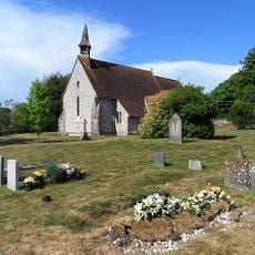
Church of All Saints
3.6 km
Church of St James
3.5 km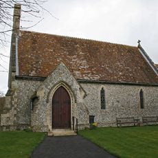
Church of St. James
4.2 km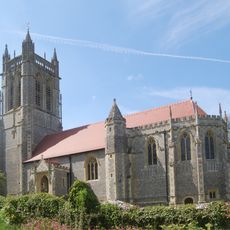
Church of St John the Evangelist
5.1 km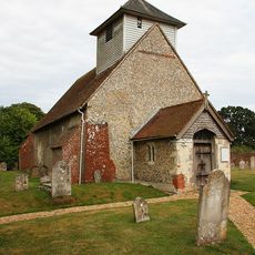
Church of All Saints
5.2 km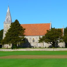
Church of St Peter
2.3 km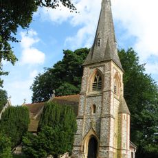
Church of St. Mary the Virgin
820 m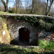
Remains Of The Church Of St.Nicholas
1.3 km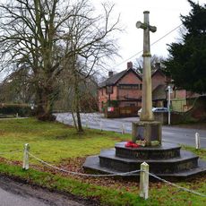
Preston Candover War Memorial
898 m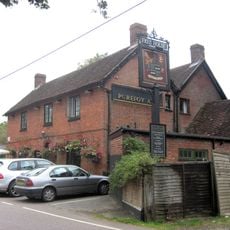
The Purefoy Arms Public House
847 m
Lt J. Stevens Memorial Shelter, Axford, Hampshire
2.5 km
43 And 42
6 km
Milestone On A30/A303 At Ngr 575 460
5.7 km
Old School House
6 km
Bramble And Homa Cottage
6 km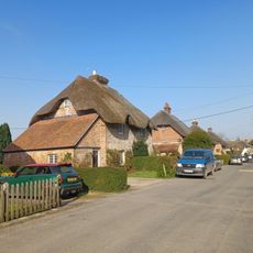
22-31
6 km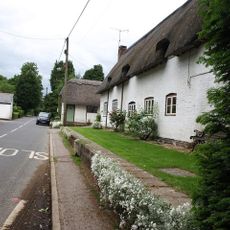
Ivy Cottage
1.2 km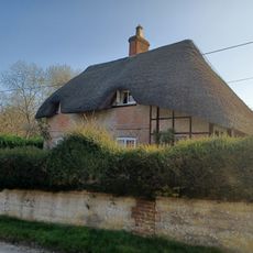
46
6 km
35
6 km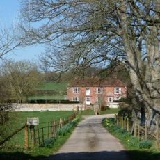
Manor Farmhouse
638 m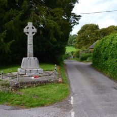
East Stratton War Memorial
6 km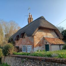
47 And 48
6 km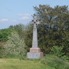
Northington War Memorial
5 km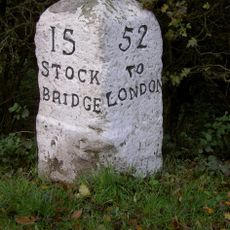
Milestone, Bramley Wood
5.7 km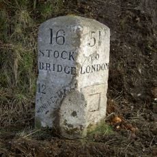
Milestone, Maidenthorn Lane
5.7 kmRecensioni
Ha visitato questo luogo? Tocchi le stelle per valutarlo e condividere la Sua esperienza o foto con la community! Provalo ora! Puoi annullarlo in qualsiasi momento.
Scopri tesori nascosti ad ogni viaggio!
Da piccoli caffè caratteristici a panorami nascosti, fuggi dalla folla e scova i posti che fanno davvero per te. La nostra app ti semplifica tutto: ricerca vocale, filtri furbi, percorsi ottimizzati e dritte autentiche da viaggiatori di tutto il mondo. Scaricala subito per vivere l'avventura sul tuo smartphone!

Un nuovo approccio alla scoperta turistica❞
— Le Figaro
Tutti i luoghi che meritano di essere esplorati❞
— France Info
Un’escursione su misura in pochi clic❞
— 20 Minutes