
Barrow on Coombe Down, 1070yds NE of Upper Poughcombe, tumulus in Ogbourne St Andrew, Wiltshire, England, UK
Posizione: Ogbourne St Andrew
Coordinate GPS: 51.46470,-1.72852
Ultimo aggiornamento: 26 maggio 2025 alle 07:03
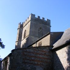
Church of St Andrew
1.7 km
Church of St George
914 m
Ogbourne Maisey House
2.5 km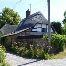
Toll Gate Cottage
1 km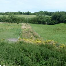
Dam of King's fishpond
4.2 km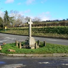
Ogbourne St Andrew War Memorial
1.9 km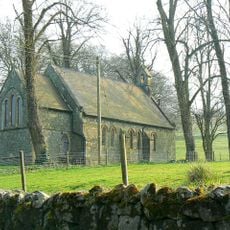
Loaves And Fishes Restaurant
3.6 km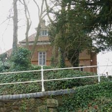
Old Rectory
913 m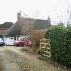
Bramley Cottage
1.3 km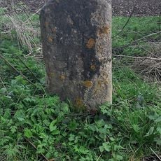
Milestone At Four Mile Clump
2.5 km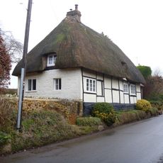
Elm Cottage
924 m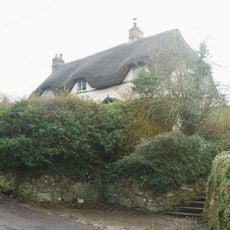
Amberley
965 m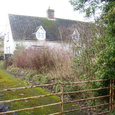
Coombe View
717 m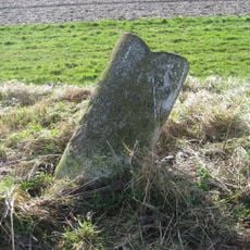
Milestone West Of Dean Bottom
3.8 km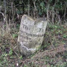
Milestone In Rockley Plantation
2.8 km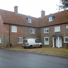
Rectory House
1.1 km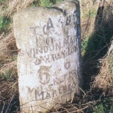
Milestone Near Parish South Boundary
2.9 km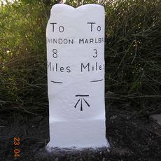
Milestone By Access To Hallam Farm Buildings
1 km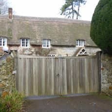
Applegarth
908 m
Milestone On Rockley Godcake
3.3 km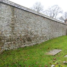
Garden Wall At Manor House
833 m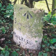
Milestone, East Of Village Centre
1.7 km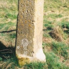
Milestone On Ogbourne Maisey Down, North Of The Old Eagle
2.4 km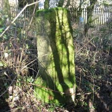
Milstone At Upper Herdswick Farm
3.7 km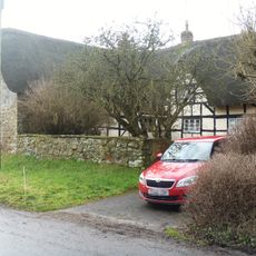
Kemms
739 m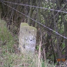
Milestone On High Street Brow
1.7 km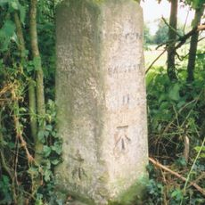
Milestone At Ngr 179172
4 km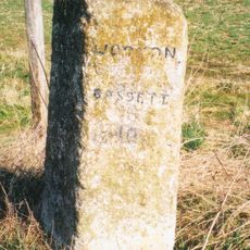
Milestone 60 Metres South Of Manton House Driveway
3.4 kmRecensioni
Ha visitato questo luogo? Tocchi le stelle per valutarlo e condividere la Sua esperienza o foto con la community! Provalo ora! Puoi annullarlo in qualsiasi momento.
Scopri tesori nascosti ad ogni viaggio!
Da piccoli caffè caratteristici a panorami nascosti, fuggi dalla folla e scova i posti che fanno davvero per te. La nostra app ti semplifica tutto: ricerca vocale, filtri furbi, percorsi ottimizzati e dritte autentiche da viaggiatori di tutto il mondo. Scaricala subito per vivere l'avventura sul tuo smartphone!

Un nuovo approccio alla scoperta turistica❞
— Le Figaro
Tutti i luoghi che meritano di essere esplorati❞
— France Info
Un’escursione su misura in pochi clic❞
— 20 Minutes