
Medieval undercroft between West Street and Slipshoe Street, Reigate
Medieval undercroft between West Street and Slipshoe Street, Reigate, archaeological site in Reigate and Banstead, Surrey, England, UK
Posizione: Reigate and Banstead
Coordinate GPS: 51.23860,-0.21087
Ultimo aggiornamento: 12 aprile 2025 alle 09:18
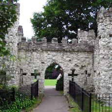
Reigate Castle
241 m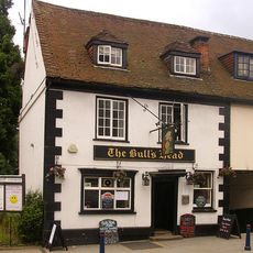
The Bull's Head Inn
157 m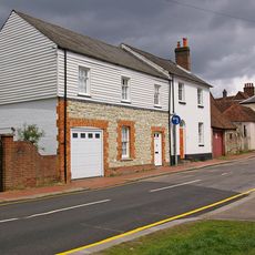
6, Park Lane
94 m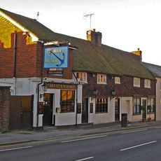
Blue Anchor Public House
71 m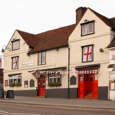
The Red Cross Hotel
90 m
St Albans
132 m
Browne's Lodge
79 m
Ye Old Forge
241 m
46, High Street
227 m
Priory Farmhouse The Old Granary
183 m
48 And 50, High Street
216 m
61 And 63, High Street
138 m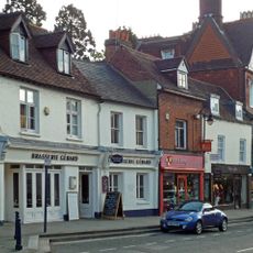
70, High Street
164 m
No 26, Including Coach House
114 m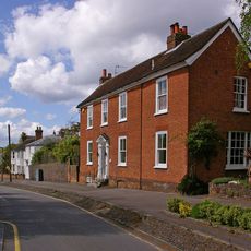
18A And 20, Upper West Street
47 m
44, High Street
234 m
77 And 77A, High Street
74 m
65, High Street
130 m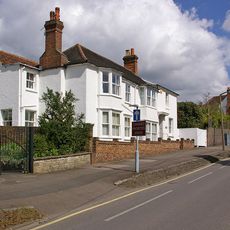
The White House
86 m
24 And 24A, West Street
150 m
53 And 53A, High Street
180 m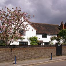
10, Slipshoe Street
33 m
32, Nutley Lane
140 m
The Former Stable And Coach-House Of Browne's Lodge
27 m
West Lodge, Including Coach-House
249 m
82 High Street
134 m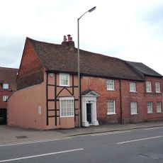
21, West Street
40 m
42, High Street
240 mRecensioni
Ha visitato questo luogo? Tocchi le stelle per valutarlo e condividere la Sua esperienza o foto con la community! Provalo ora! Puoi annullarlo in qualsiasi momento.
Scopri tesori nascosti ad ogni viaggio!
Da piccoli caffè caratteristici a panorami nascosti, fuggi dalla folla e scova i posti che fanno davvero per te. La nostra app ti semplifica tutto: ricerca vocale, filtri furbi, percorsi ottimizzati e dritte autentiche da viaggiatori di tutto il mondo. Scaricala subito per vivere l'avventura sul tuo smartphone!

Un nuovo approccio alla scoperta turistica❞
— Le Figaro
Tutti i luoghi che meritano di essere esplorati❞
— France Info
Un’escursione su misura in pochi clic❞
— 20 Minutes