
Lime kilns, canal, engine sheds, etcetera, lime kiln in Amberley, Horsham, England, UK
Posizione: Amberley
Coordinate GPS: 50.89740,-0.53915
Ultimo aggiornamento: 3 novembre 2025 alle 19:01
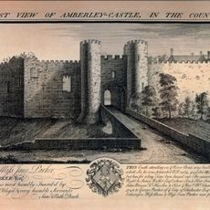
Castello di Amberley
1.3 km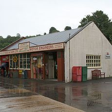
Amberley Museum and Heritage Centre
230 m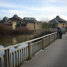
WWT Arundel
4 km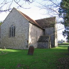
St Mary the Virgin's Church, North Stoke
1.4 km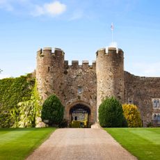
Amberley Castle
1.3 km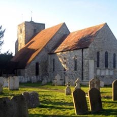
The Parish Church of St Michael and All Angels
1.3 km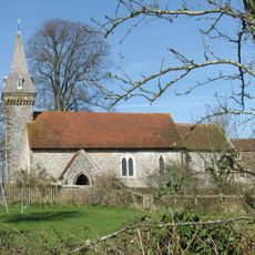
The Parish Church of St Leonard
1.9 km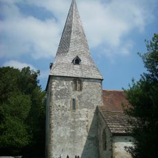
The Parish Church of St John the Evangelist
1.7 km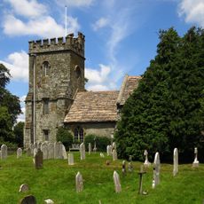
Church of St Peter, Parham
3.8 km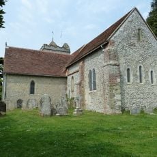
The Parish Church of St Mary
3.1 km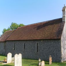
The Parish Church of St Nicholas
861 m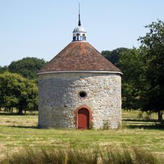
The Dovecot At Parham Park To The North East Of The House
4.1 km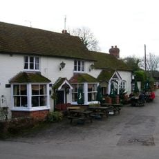
The George And Dragon Inn
3.2 km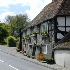
The George And Dragon Inn
1.2 km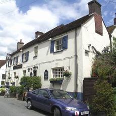
The Black Horse Inn
1.4 km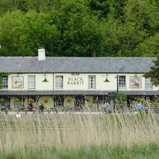
The Black Rabbit Public House
3.4 km
Prattendens
2.2 km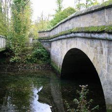
Bridge
4.3 km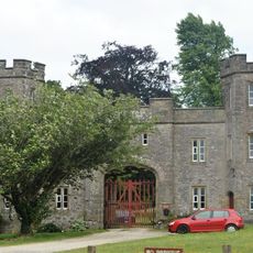
Whiteways Lodge At Arundel Park
2.8 km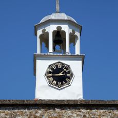
The Stables And Laundry Wing At Parham Park To The North Of The House
4 km
Rackham Banks: A cross dyke and Itford Hill style settlement on Rackham Hill, 900m SSE of Oldbottom Barn
2.3 km
Fogdens
3.8 km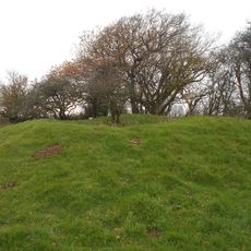
Bowl barrow on Springhead Hill, 750m SSW of Springhead Farm
3.2 km
Barn At South Stoke Farm To The South West Of The Farmhouse
1.9 km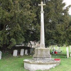
Bury War Memorial, West Sussex
1.7 km
Timberley Viaduct
1.9 km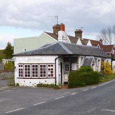
The Turnpike
257 m
K1 telephone box at Amberley Working Museum
456 mRecensioni
Ha visitato questo luogo? Tocchi le stelle per valutarlo e condividere la Sua esperienza o foto con la community! Provalo ora! Puoi annullarlo in qualsiasi momento.
Scopri tesori nascosti ad ogni viaggio!
Da piccoli caffè caratteristici a panorami nascosti, fuggi dalla folla e scova i posti che fanno davvero per te. La nostra app ti semplifica tutto: ricerca vocale, filtri furbi, percorsi ottimizzati e dritte autentiche da viaggiatori di tutto il mondo. Scaricala subito per vivere l'avventura sul tuo smartphone!

Un nuovo approccio alla scoperta turistica❞
— Le Figaro
Tutti i luoghi che meritano di essere esplorati❞
— France Info
Un’escursione su misura in pochi clic❞
— 20 Minutes