
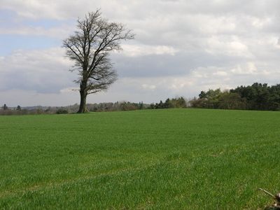
Wyaston hlaew, burial mound (hlaew) in Edlaston and Wyaston, Derbyshire Dales, England, UK
Posizione: Edlaston and Wyaston
Coordinate GPS: 52.97510,-1.71686
Ultimo aggiornamento: 21 aprile 2025 alle 17:16
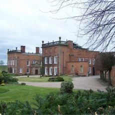
Longford Hall
4.5 km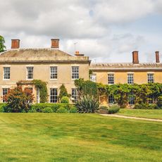
Yeldersley Hall, Derbyshire
2.8 km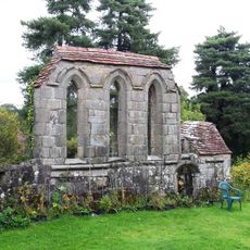
Yeaveley Preceptory
2.8 km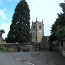
Church of St Michael
2.8 km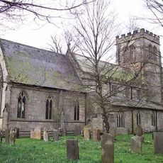
St Chad's Church, Longford
4.4 km
Church of St Martin
2.2 km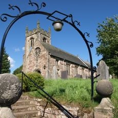
Church of St Peter
3.8 km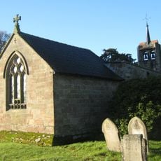
Church of St James
1.2 km
Medieval settlement, including site of chapel and part of the open field system, immediately north east of Alkmonton Old Hall Fa
4.4 km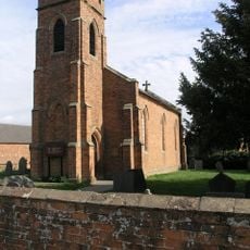
Holy Trinity Church
1.8 km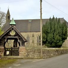
Church of the Holy Trinity
3.8 km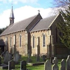
Church of St John
3.5 km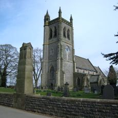
War Memorial South West of Church of St Martin
2.1 km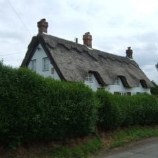
Yew Tree Cottage
2.7 km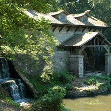
Saw Mill
1.8 km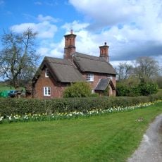
Park View Cottage
1.9 km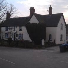
The Saracen's Head Public House
2.8 km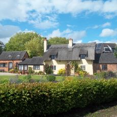
Thatched Cottage
2.7 km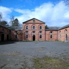
Stable Block And Coach House At Longford Hall Farm
4.3 km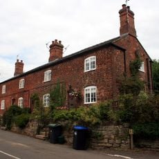
Terrace of three cottages opposite the Saracen's Head pub
2.8 km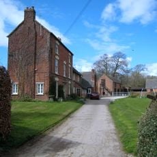
Shirley Mill Farmhouse
2.5 km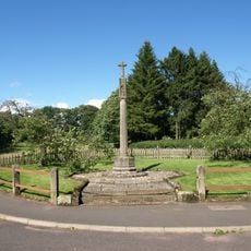
Snelston War Memorial
4.2 km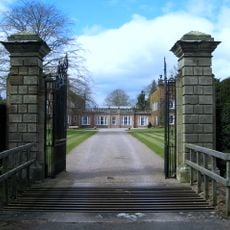
Gates And Gatepiers To East Of Longford Hall
4.5 km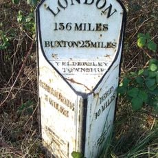
Mile Post At Os 212435
2.6 km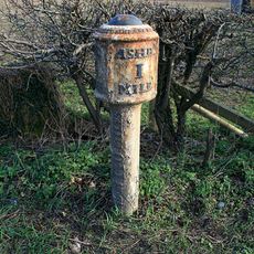
Mile Post South Of Buckholme Ngr 166 458
4.6 km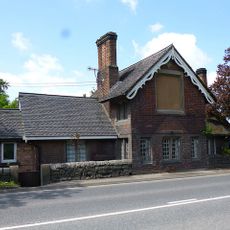
Old Tollhouse
3.4 km
Tinker's Inn bowl barrow, south
2.5 km
Two bowl barrows at Osmaston Fields, north
2.8 kmRecensioni
Ha visitato questo luogo? Tocchi le stelle per valutarlo e condividere la Sua esperienza o foto con la community! Provalo ora! Puoi annullarlo in qualsiasi momento.
Scopri tesori nascosti ad ogni viaggio!
Da piccoli caffè caratteristici a panorami nascosti, fuggi dalla folla e scova i posti che fanno davvero per te. La nostra app ti semplifica tutto: ricerca vocale, filtri furbi, percorsi ottimizzati e dritte autentiche da viaggiatori di tutto il mondo. Scaricala subito per vivere l'avventura sul tuo smartphone!

Un nuovo approccio alla scoperta turistica❞
— Le Figaro
Tutti i luoghi che meritano di essere esplorati❞
— France Info
Un’escursione su misura in pochi clic❞
— 20 Minutes