
Lanchester Roman fort, fort in Lanchester, County Durham, England, UK
Posizione: Lanchester
Coordinate GPS: 54.81410,-1.75310
Ultimo aggiornamento: 19 aprile 2025 alle 14:11
Ushaw College
6.6 km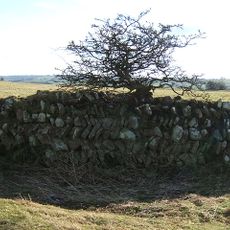
Longovicium
244 m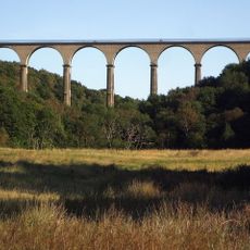
Hownsgill Viaduct
6.8 km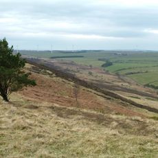
Hedleyhope Fell
4 km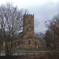
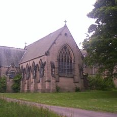
Church of All Saints
1.1 km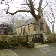
Church of St Cuthbert
5.4 km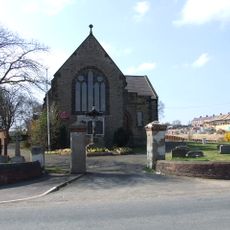
Church of St George
5.7 km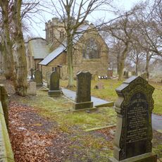
Church of St John
6.9 km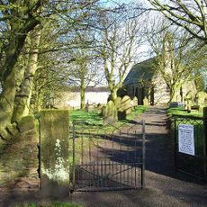
Church of St Michael
4.5 km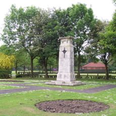
War Memorial in Annfield Plain Park
4.7 km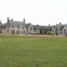
Former Junior Seminary Chapel Of St Aloysius At St. Cuthbert's College, Ushaw
6.5 km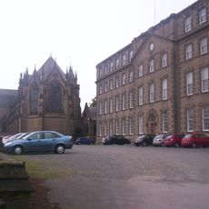
Complex Of Chapels At The College Of St Cuthbert, Ushaw
6.5 km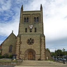
Christ Church, Consett
6.8 km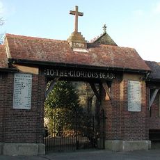
Burnhope War Memorial
3.8 km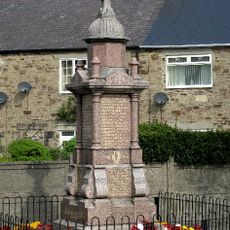
Langley Park War Memorial
5.5 km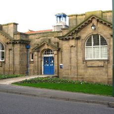
Annfield Plain Library
5.4 km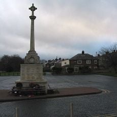
War Memorial at the Civic Centre
7 km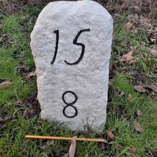
Milestone Opposite South End Of Hollinside Terrace
1.1 km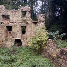
Langley Hall
5.1 km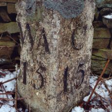
Milestone Circa 50 Metres North Of Junction With Eliza Lane
6.9 km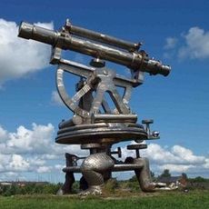
Terris Novalis
6.4 km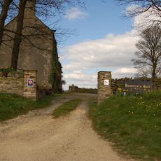
Hamsteels Hall Farmhouse
2.2 km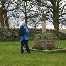
Esh Cross
4.6 km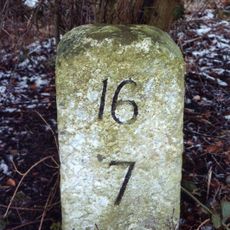
Milestone South West Of Broadwood Cottages
2.6 km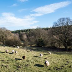
Hedleyhill Colliery coke works, 500m south west of Hazlet House
6.1 km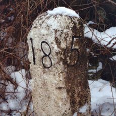
Milestone About 70 Metres South Of Junction With Pan Lane
5.7 km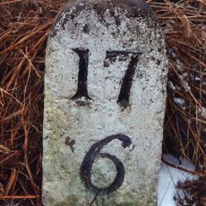
Milestone About 170 Metres North Of Track To Hall Hill Farm
4.1 km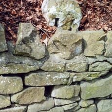
Milestone, Cadger Bank
682 mRecensioni
Ha visitato questo luogo? Tocchi le stelle per valutarlo e condividere la Sua esperienza o foto con la community! Provalo ora! Puoi annullarlo in qualsiasi momento.
Scopri tesori nascosti ad ogni viaggio!
Da piccoli caffè caratteristici a panorami nascosti, fuggi dalla folla e scova i posti che fanno davvero per te. La nostra app ti semplifica tutto: ricerca vocale, filtri furbi, percorsi ottimizzati e dritte autentiche da viaggiatori di tutto il mondo. Scaricala subito per vivere l'avventura sul tuo smartphone!

Un nuovo approccio alla scoperta turistica❞
— Le Figaro
Tutti i luoghi che meritano di essere esplorati❞
— France Info
Un’escursione su misura in pochi clic❞
— 20 Minutes