
Roman bridge at Piercebridge, bridge in Manfield, United Kingdom
Posizione: Manfield
Coordinate GPS: 54.53470,-1.67001
Ultimo aggiornamento: 29 maggio 2025 alle 17:21
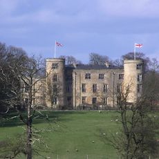
Walworth Castle
2.9 km
Piercebridge Roman Fort
438 m
Ponte romano
158 m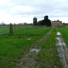
Ulnaby
2.5 km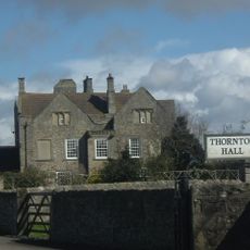
Thornton Hall
2.8 km
Raby Hunt
3.8 km
Piercebridge Roman Fort
413 m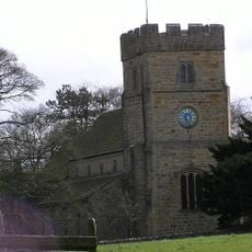
Church of All Saints
2.3 km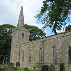
Church of St Edwin
1.2 km
Church of St Mary
466 m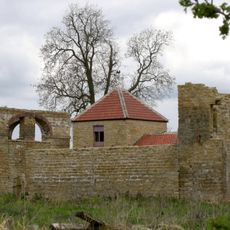
Dovecote And Single Storey Range To South Of Parkside Farmhouse
3.4 km
Haybarn And Attached Shed South Of Parkside Farmhouse
3.3 km
George Hotel
256 m
Carlbury Bridge
444 m
Milepost South Of Carlbury Hall
281 m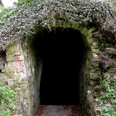
Ice House To East Of Quarry End
3.8 km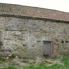
Barn To North Of North Farm Farmhouse
4 km
Piercebridge Bridge
369 m
The Bridge House
395 m
Ivy House
510 m
2, The Green
544 m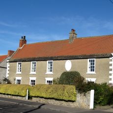
The Old Hall
1.1 km
Wall, Gate Piers, Overthrow And Lantern To West Of Church Of St Mary
483 m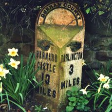
Milepost In Front Of Number 12 (Cedar Ridge)
3.2 km
Milestone, 110 Metres South Of Greystone Hall
3.1 km
28, The Green
481 m
Medieval Chapel Ruins On Roman Foundations In Rear Garden Of Bath House, Tees View
423 m
Round barrow 340m east of Cliffe Hall known as Betty Watson's Hill
492 mRecensioni
Ha visitato questo luogo? Tocchi le stelle per valutarlo e condividere la Sua esperienza o foto con la community! Provalo ora! Puoi annullarlo in qualsiasi momento.
Scopri tesori nascosti ad ogni viaggio!
Da piccoli caffè caratteristici a panorami nascosti, fuggi dalla folla e scova i posti che fanno davvero per te. La nostra app ti semplifica tutto: ricerca vocale, filtri furbi, percorsi ottimizzati e dritte autentiche da viaggiatori di tutto il mondo. Scaricala subito per vivere l'avventura sul tuo smartphone!

Un nuovo approccio alla scoperta turistica❞
— Le Figaro
Tutti i luoghi che meritano di essere esplorati❞
— France Info
Un’escursione su misura in pochi clic❞
— 20 Minutes