
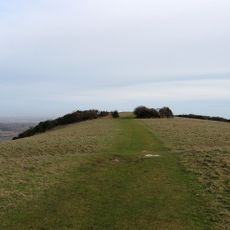
Bowl barrow on Willingdon Hill, 450m south-west of the South Downs Way
Bowl barrow on Willingdon Hill, 450m south-west of the South Downs Way, bowl barrow in Eastbourne, East Sussex, England, UK
Posizione: Eastbourne
Coordinate GPS: 50.78340,0.23134
Ultimo aggiornamento: 13 marzo 2025 alle 06:31
Neolithic causewayed enclosure on Combe Hill
1.6 km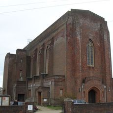
Church of St Elisabeth
1.7 km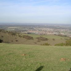
Willingdon Down
1.7 km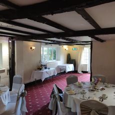
Chalk Farm Hotel
2.3 km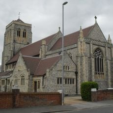
Church of St Michael and All Angels
2.4 km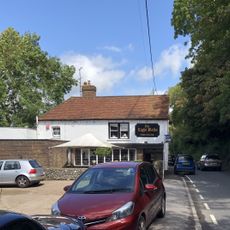
The Eight Bells Inn
1.6 km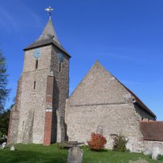
The Parish Church of St Mary the Virgin, Willingdon
2.4 km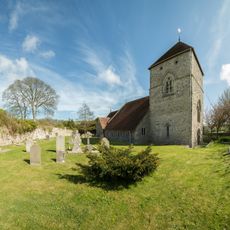
The Parish Church of St Andrew
1.6 km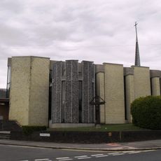
Catholic Church of St Gregory
1.6 km
Ocklynge Cemetery Chapel
2.4 km
28 and 30, Church Street
2.4 km
32-38, Church Street
2.4 km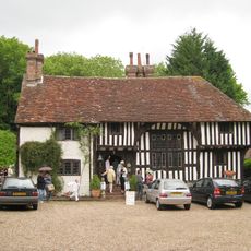
Filching Manor
2.5 km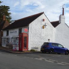
Post Office
2.2 km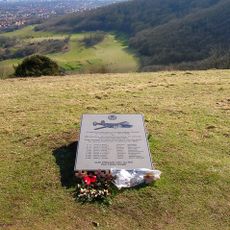
44th Bombardment Group Memorial, Butts Brow
954 m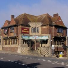
Tally Ho Public House
2.5 km
24A, St Mary's Road
2.5 km
Sea View (Opposite Post Office)
2.2 km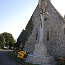
Ocklynge Cemetery Cross of Sacrifice, Eastbourne
2.4 km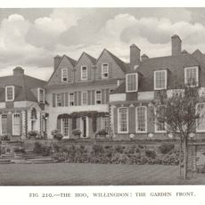
The Hoo
2.4 km
67 And 69, Upper King's Drive
2.1 km
Vicarage to the Church of St Elisabeth
1.7 km
Barn Adjoining Chalk Farm Hotel On The South
2.3 km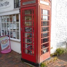
K6 Telephone Kiosk
2.2 km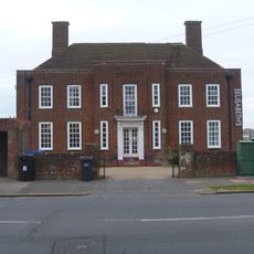
Church Hall To Church Of St Elisabeth
1.7 km
Hungry Monk Restaurant Monk's Rest
1.4 km
St Wilfred's
2.4 km
122, 124 And 126, Wish Hill
2.2 kmRecensioni
Ha visitato questo luogo? Tocchi le stelle per valutarlo e condividere la Sua esperienza o foto con la community! Provalo ora! Puoi annullarlo in qualsiasi momento.
Scopri tesori nascosti ad ogni viaggio!
Da piccoli caffè caratteristici a panorami nascosti, fuggi dalla folla e scova i posti che fanno davvero per te. La nostra app ti semplifica tutto: ricerca vocale, filtri furbi, percorsi ottimizzati e dritte autentiche da viaggiatori di tutto il mondo. Scaricala subito per vivere l'avventura sul tuo smartphone!

Un nuovo approccio alla scoperta turistica❞
— Le Figaro
Tutti i luoghi che meritano di essere esplorati❞
— France Info
Un’escursione su misura in pochi clic❞
— 20 Minutes