
Site revealed by air photography at Catern crossroads
Site revealed by air photography at Catern crossroads, archaeological site in Wootton St Lawrence, Wootton St Lawrence with Ramsdell, England, UK
Posizione: Wootton St Lawrence
Coordinate GPS: 51.27750,-1.12852
Ultimo aggiornamento: 24 maggio 2025 alle 03:05
Milestones Living History Museum
1.7 km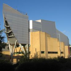
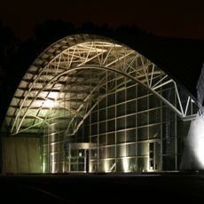
The Anvil, Basingstoke
3 km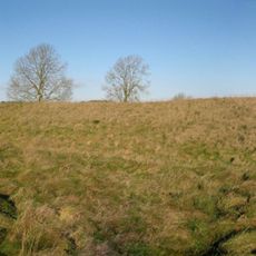
White Barrow
3.1 km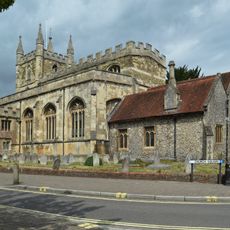
St Michael's Church, Basingstoke
3.1 km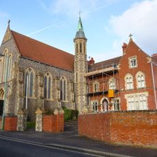
Church of the Holy Ghost
2.6 km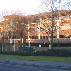
Norfolk House, Basingstoke
1.7 km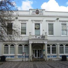
Willis Museum
3.3 km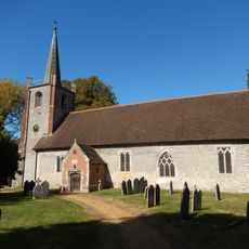
Church of St. Andrew
2.5 km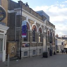
Haymarket Theatre, Basingstoke
3.3 km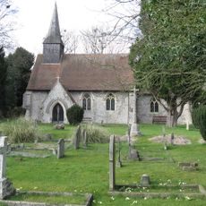
Church of St Thomas A Becket
1.9 km
Church of All Saints
2.3 km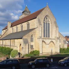
Church of All Saints
3.4 km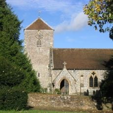
Church of St. Lawrence
1.7 km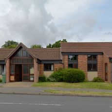
St Gabriel's Church
2.9 km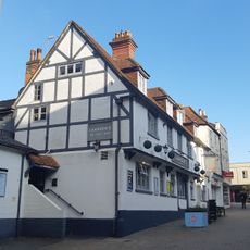
The Feathers Public House
3.3 km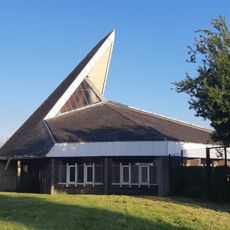
Saint Peter's Church
2.6 km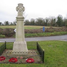
Monk Sherborne War Memorial
2.6 km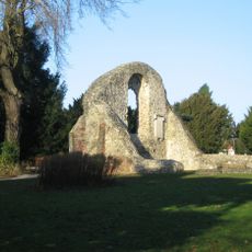
Ruins Of Chapel Of The Holy Ghost
2.8 km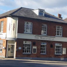
The Wheatsheaf Public House
3.2 km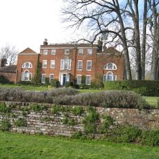
Worting House
1.8 km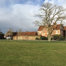
Tangier House
2.7 km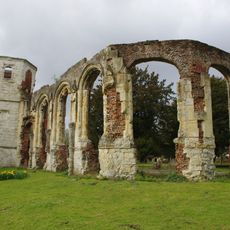
Ruins Of Chapel Of The Holy Trinity
2.8 km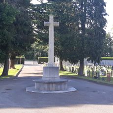
Worting Road Cemetery CWGC Cross
2.4 km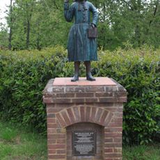
Blue Coat Boy
3.2 km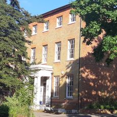
Winton House
3.2 km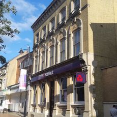
National Westminster Bank
3.4 km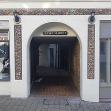
Lesser Market
3.3 km
St Thomas House (chapel)
2.7 kmRecensioni
Ha visitato questo luogo? Tocchi le stelle per valutarlo e condividere la Sua esperienza o foto con la community! Provalo ora! Puoi annullarlo in qualsiasi momento.
Scopri tesori nascosti ad ogni viaggio!
Da piccoli caffè caratteristici a panorami nascosti, fuggi dalla folla e scova i posti che fanno davvero per te. La nostra app ti semplifica tutto: ricerca vocale, filtri furbi, percorsi ottimizzati e dritte autentiche da viaggiatori di tutto il mondo. Scaricala subito per vivere l'avventura sul tuo smartphone!

Un nuovo approccio alla scoperta turistica❞
— Le Figaro
Tutti i luoghi che meritano di essere esplorati❞
— France Info
Un’escursione su misura in pochi clic❞
— 20 Minutes