
Deserted medieval village at Walworth, archaeological site in Walworth, Darlington, England, UK
Posizione: Walworth
Coordinate GPS: 54.56688,-1.64132
Ultimo aggiornamento: 18 giugno 2025 alle 09:29
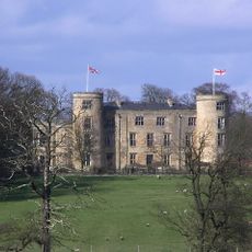
Walworth Castle
1.1 km
Piercebridge Roman Fort
4 km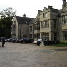
Redworth Hall
4.1 km
Ponte romano
3.9 km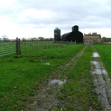
Ulnaby
1.5 km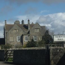
Thornton Hall
2.2 km
Church of St Michael
3.6 km
Raby Hunt
3.1 km
Piercebridge Roman Fort
4.1 km
Church of St Edwin
4 km
Church of St Mary
4.1 km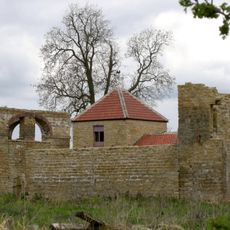
Dovecote And Single Storey Range To South Of Parkside Farmhouse
674 m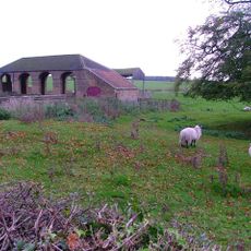
Haybarn And Attached Shed South Of Parkside Farmhouse
697 m
George Hotel
4.2 km
Carlbury Bridge
3.9 km
The Bridge House
4.2 km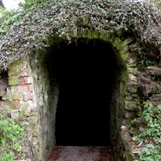
Ice House To East Of Quarry End
309 m
Milepost South Of Carlbury Hall
3.8 km
Ivy House
4 km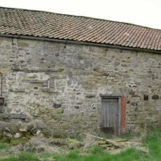
Barn To North Of North Farm Farmhouse
70 m
Piercebridge Bridge
4.2 km
Heighington War Memorial
3.6 km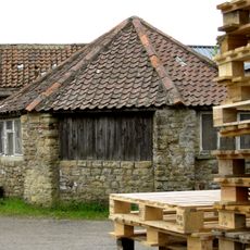
Threshing Barn And Gin Gang East Of Walworth Grange Farmhouse
442 m
28, The Green
4 km
Medieval Chapel Ruins On Roman Foundations In Rear Garden Of Bath House, Tees View
4.2 km
Wall, Gate Piers, Overthrow And Lantern To West Of Church Of St Mary
4.1 km
The Old Hall
3.8 km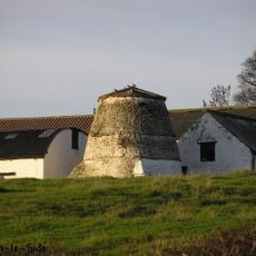
Dovecote 45 Metres East Of Manor House
2.8 kmRecensioni
Ha visitato questo luogo? Tocchi le stelle per valutarlo e condividere la Sua esperienza o foto con la community! Provalo ora! Puoi annullarlo in qualsiasi momento.
Scopri tesori nascosti ad ogni viaggio!
Da piccoli caffè caratteristici a panorami nascosti, fuggi dalla folla e scova i posti che fanno davvero per te. La nostra app ti semplifica tutto: ricerca vocale, filtri furbi, percorsi ottimizzati e dritte autentiche da viaggiatori di tutto il mondo. Scaricala subito per vivere l'avventura sul tuo smartphone!

Un nuovo approccio alla scoperta turistica❞
— Le Figaro
Tutti i luoghi che meritano di essere esplorati❞
— France Info
Un’escursione su misura in pochi clic❞
— 20 Minutes