
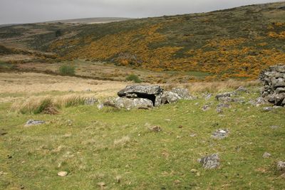
Roundy Park prehistoric enclosure and cairn with cist, 560m north east of Archerton
Roundy Park prehistoric enclosure and cairn with cist, 560m north east of Archerton, archaeological site in Dartmoor Forest, West Devon, England, UK
Posizione: Dartmoor Forest
Coordinate GPS: 50.60060,-3.92359
Ultimo aggiornamento: 4 marzo 2025 alle 15:14
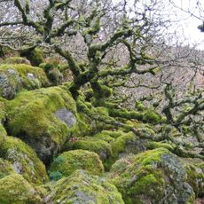
Wistman's Wood
3.7 km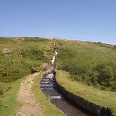
Devonport Leat
3.5 km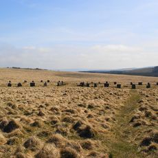
Grey Wethers
3.5 km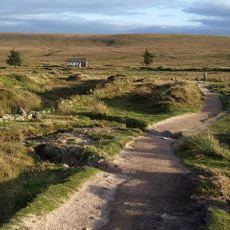
Parco nazionale di Dartmoor
3.2 km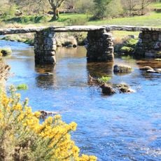
Postbridge Clapper Bridge
1.1 km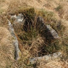
Bellever Tor Cairns
3.3 km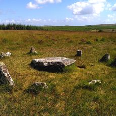
Ring cairn with cist on Lakehead Hill
2.2 km
Church of St Gabriel
1.3 km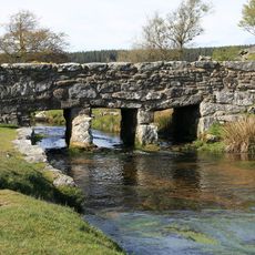
Clapper Bridge Across Walla Brook On Road From Cator To Bellever
3.6 km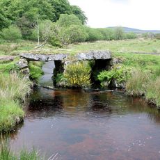
Powder Mills Clapper Bridge
2.7 km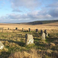
Two stone circles known as The Grey Wethers, three round cairns, two ring cairns and an oval enclosure in Great Stannon Newtake
3.4 km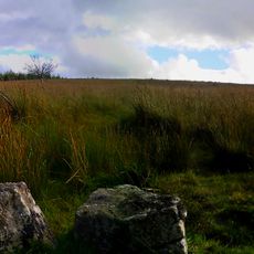
Kraps Ring
1.6 km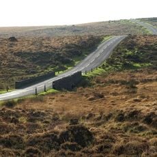
Statts Bridge
2.9 km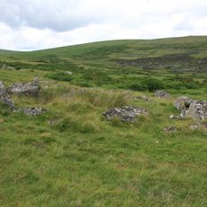
Coaxial fields and prehistoric settlements 180m north and 350m north west of Hartland Tor
572 m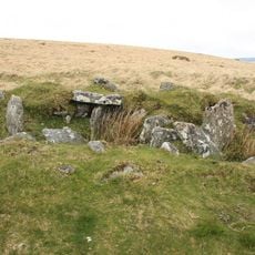
Cairn and cist 875m north west of Arch Tor
1.5 km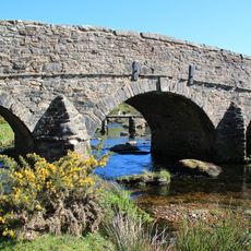
Post Bridge
1.1 km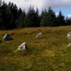
Five cairns, two stone alignments and three cists, forming part of a ritual complex on Lakehead Hill
2 km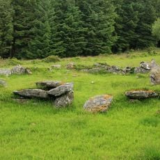
Stone alignment, hut circle settlement, medieval long house and post-medieval farmstead at Assycombe
3.6 km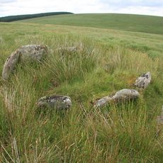
Kerbed cairn and cist 635m south west of The Grey Wethers
3.1 km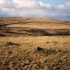
Broadun prehistoric enclosed settlement, 780m NNW of Archerton
509 m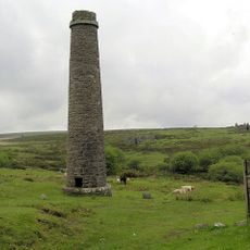
Powder Mills
2.6 km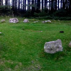
A ring cairn 700m south east of Runnage Bridge, on the southern side of Soussons Down
3.7 km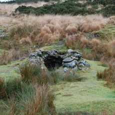
Tinners' building in Great Stannon Newtake, 810m north west of Stannon Tor
1.8 km
Milestone, half mile SW of Postbridge, opp. Plantations
1.5 km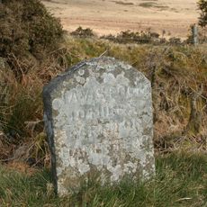
Milestone, Higher Cherrybrook Bridge, 200m SW of bridge, 300m from turn to Pottery
2.9 km
Guidestone, by Lakehead Hill plantation, NE of Cherrybrook Bridge
1.6 km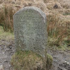
Milestone, Statts Bridge, 300m SW of bridge
2.6 km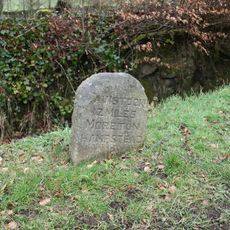
Milestone, St Gabriel's Church, 80m NE of church, opp. Beechwood
1.4 kmRecensioni
Ha visitato questo luogo? Tocchi le stelle per valutarlo e condividere la Sua esperienza o foto con la community! Provalo ora! Puoi annullarlo in qualsiasi momento.
Scopri tesori nascosti ad ogni viaggio!
Da piccoli caffè caratteristici a panorami nascosti, fuggi dalla folla e scova i posti che fanno davvero per te. La nostra app ti semplifica tutto: ricerca vocale, filtri furbi, percorsi ottimizzati e dritte autentiche da viaggiatori di tutto il mondo. Scaricala subito per vivere l'avventura sul tuo smartphone!

Un nuovo approccio alla scoperta turistica❞
— Le Figaro
Tutti i luoghi che meritano di essere esplorati❞
— France Info
Un’escursione su misura in pochi clic❞
— 20 Minutes