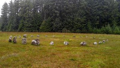
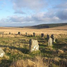
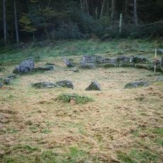
Fernworthy Circle, Cerchio di pietre a Dartmoor Forest, Inghilterra.
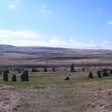
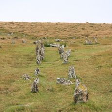
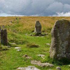
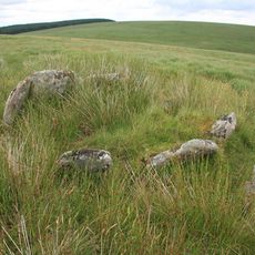
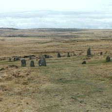
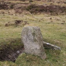
Il Fernworthy Circle è un anello di pietra dell'Eta del Bronzo composto da 27 massi di granito disposti sull'altopiano di Dartmoor in un arrangiamento leggermente appiattito. Le pietre si elevano di circa 1 metro di altezza e formano un cerchio di circa 20 metri di larghezza, con un ingresso chiaro sul lato meridionale contrassegnato da pietre posizionate in modo speciale.
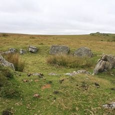
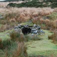
Questo cerchio di pietra fu costruito durante l'Eta del Bronzo quando siti rituali simili costellavano il paesaggio di Dartmoor. I lavori di scavo negli anni 1890 hanno scoperto depositi di legno carbonizzato, suggerendo che i fuochi erano una volta centrali alle attivita in questo luogo.
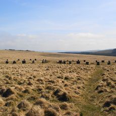
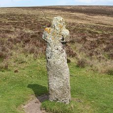
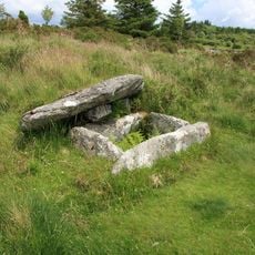
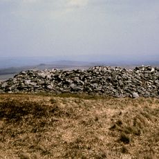
Questo cerchio era un luogo di riunione importante per le comunita dell'Eta del Bronzo, servendo funzioni che probabilmente combineavano aspetti spirituali e sociali. Le vicine file di pietre e i tumuli funerari suggeriscono che il sito aveva un significato duraturo per le persone che vivevano in questo paesaggio.
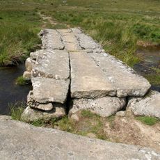
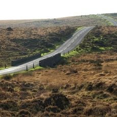
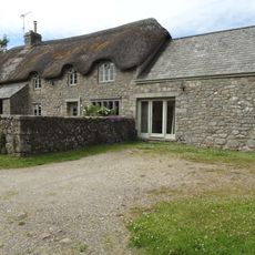
Il cerchio si trova all'interno di una piantagione forestale ed è accessibile tramite sentieri pedonali da strade vicine. Indossa scarpe robuste poiché il terreno può essere irregolare e fangoso, specialmente dopo la pioggia, e i sentieri forestali circostanti possono essere scivolosi.
L'ingresso è contrassegnato da due pietre più piccole incastrate tra blocchi più grandi, mostrando un posizionamento deliberato piuttosto che casuale. Questo arrangiamento specifico è raro tra cerchi simili e suggerisce che l'ingresso aveva importanza cerimoniale.
La comunità dei viaggiatori curiosi
AroundUs riunisce migliaia di luoghi selezionati, consigli locali e gemme nascoste, arricchiti ogni giorno da oltre 60,000 contributori in tutto il mondo.