
Brownings moated site, archaeological site in Kirdford, Chichester, England, UK
Posizione: Kirdford
Coordinate GPS: 51.01480,-0.54703
Ultimo aggiornamento: 16 marzo 2025 alle 11:36
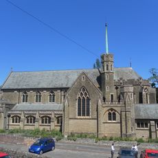
Sacred Heart Church
5.3 km
Bognor Common Quarry
3.7 km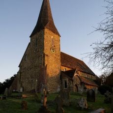
The Parish Church of St Peter Ad Vincula
3.3 km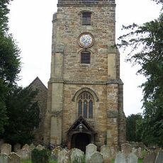
The Parish Church of St John the Baptist
1.6 km
The Zoar Chapel
2.9 km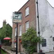
The Black Horse Public House
5.1 km
The Three Crowns Inn
3.2 km
The Cricketers Arms Public House
3.2 km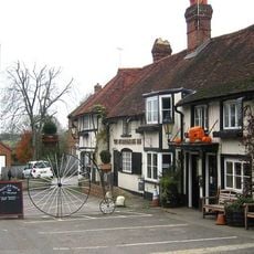
The Stonemasons Inn
5 km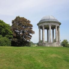
Garden Temple In The Grounds Of Petworth House To The North Of The Preceding Temple
5.1 km
Riverhill House
4 km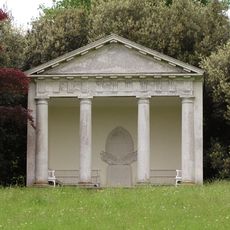
The Garden Temple In The Grounds Of Petworth House To North West Of The Butler's House
5.2 km
Wisborough Green War Memorial
3.1 km
Angel House
5.3 km
Stroods And The Homestead
570 m
Oldhams
3.2 km
Grays
5.2 km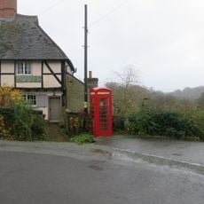
K6 Telephone Kiosk Opposite The Old Post Office
5.1 km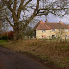
Nos 85 And 86 Leconfield Estate Riverhill Farmhouse
3.9 km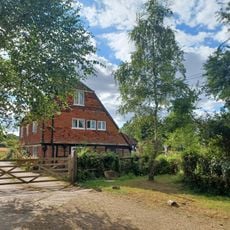
Tanners Farmhouse
4.8 km
The Coach House
5.3 km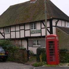
Nos 374 And 375 Leconfield Estate
5.1 km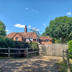
Crouchams
352 m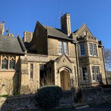
The Presbytery Of The Roman Catholic Church
5.2 km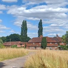
Ingrams Farmhouse
1.2 km
Somerset Hospital
5.2 km
North House
5.3 km
Rectory Gate House
5.2 kmRecensioni
Ha visitato questo luogo? Tocchi le stelle per valutarlo e condividere la Sua esperienza o foto con la community! Provalo ora! Puoi annullarlo in qualsiasi momento.
Scopri tesori nascosti ad ogni viaggio!
Da piccoli caffè caratteristici a panorami nascosti, fuggi dalla folla e scova i posti che fanno davvero per te. La nostra app ti semplifica tutto: ricerca vocale, filtri furbi, percorsi ottimizzati e dritte autentiche da viaggiatori di tutto il mondo. Scaricala subito per vivere l'avventura sul tuo smartphone!

Un nuovo approccio alla scoperta turistica❞
— Le Figaro
Tutti i luoghi che meritano di essere esplorati❞
— France Info
Un’escursione su misura in pochi clic❞
— 20 Minutes