
Seven sections of Stane Street Roman road between Eartham and Bignor, a prehistoric linear boundary and two bowl barrows
Seven sections of Stane Street Roman road between Eartham and Bignor, a prehistoric linear boundary and two bowl barrows, bowl barrow in Slindon, Arun, England, UK
Posizione: Slindon
Coordinate GPS: 50.89930,-0.63753
Ultimo aggiornamento: 15 maggio 2025 alle 01:48
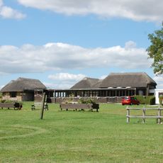
Villa romana di Bignor
3.9 km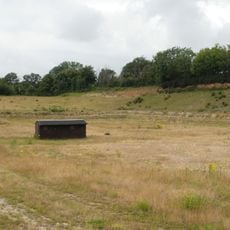
Eartham Pit
5 km
Halnaker Windmill
4.6 km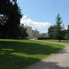
Bignor Park
4.8 km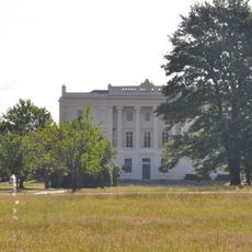
Burton Park
5.6 km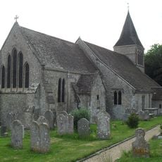
The Parish Church of St Mary
3.6 km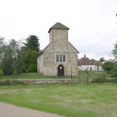
St Richard's Church
5.7 km
The Parish Church of St Mary Magdalene
3.2 km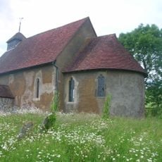
St Mary The Virgin, Upwaltham
2.5 km
The Parish Church of All Saints
5.5 km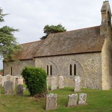
The Parish Church of St Mary
4.3 km
The Parish Church of St John the Baptist
4.1 km
The Parish Church of St Margaret
3.3 km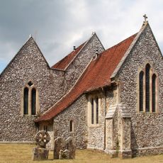
The Parish Church of St Peter
4.5 km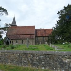
The Parish Church of the Holy Cross
3.6 km
Church of Holy Trinity, Duncton
5.6 km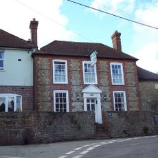
The White Horse Inn
3.8 km
Prattendens
5.5 km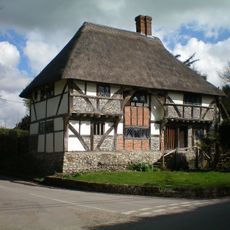
The Yeoman's House
3.6 km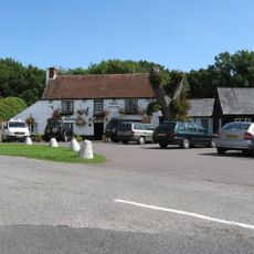
The Cricketers Inn
5 km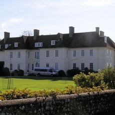
Eartham House
3.4 km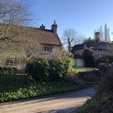
Bakers Cottage
4.2 km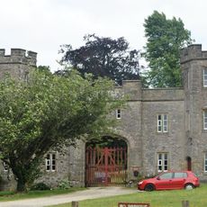
Whiteways Lodge At Arundel Park
4.6 km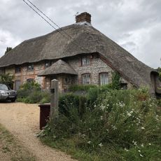
The Thatch
5.4 km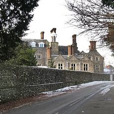
Slindon House
3.5 km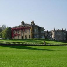
Lavington Park
4.5 km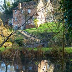
Bignor Mill
3.7 km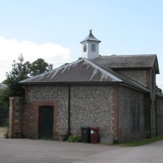
The Stables of Bignor Park to the north-west of the house
4.8 kmRecensioni
Ha visitato questo luogo? Tocchi le stelle per valutarlo e condividere la Sua esperienza o foto con la community! Provalo ora! Puoi annullarlo in qualsiasi momento.
Scopri tesori nascosti ad ogni viaggio!
Da piccoli caffè caratteristici a panorami nascosti, fuggi dalla folla e scova i posti che fanno davvero per te. La nostra app ti semplifica tutto: ricerca vocale, filtri furbi, percorsi ottimizzati e dritte autentiche da viaggiatori di tutto il mondo. Scaricala subito per vivere l'avventura sul tuo smartphone!

Un nuovo approccio alla scoperta turistica❞
— Le Figaro
Tutti i luoghi che meritano di essere esplorati❞
— France Info
Un’escursione su misura in pochi clic❞
— 20 Minutes