
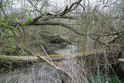
Ring Dam medieval fishpond, archaeological site in Ropsley and Humby, South Kesteven, England, UK
Posizione: Ropsley and Humby
Coordinate GPS: 52.89200,-0.51964
Ultimo aggiornamento: 3 marzo 2025 alle 20:07
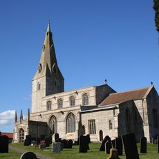
St Peter's Church, Ropsley
624 m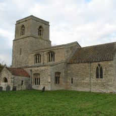
St Barbara's Church
4.1 km
St Bartholomew's Church
4.9 km
Church of St Nicholas
2.2 km
Church of St Andrew
4.7 km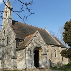
Parish Church of St Lucia
6 km
Church of St Bartholomew
3.9 km
Church of St Michael
6 km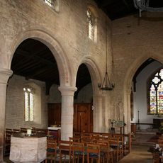
Church of St Mary Magdalene
5.5 km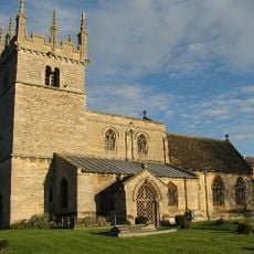
Church of St. Andrew
3.9 km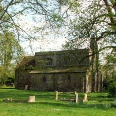
Church of St Margaret
2.5 km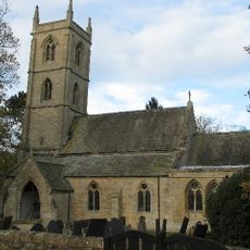
Parish Church of St Botolph
5.7 km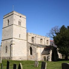
Church of St Mary Magdalene
3.2 km
Church of St Peter
4.5 km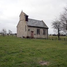
Great Humby Chapel
1.7 km
Houblon Arms Public House
5.4 km
Oasby House
5.3 km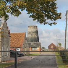
Oasby Mill
5 km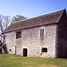
Boothby Manor House
4.1 km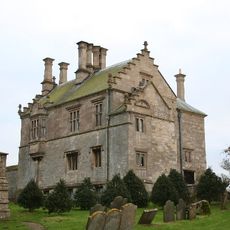
The Manor House
5.1 km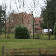
Heydour House
5.9 km
Garage And Stable At The Hall
2.2 km
The Old Rectory
3.3 km
Barn At Manor House
3.2 km
Manor Farmhouse and Manor Farm Cottage and Attached Farm Buildings
6 km
The Hall
2.2 km
Scotland House
3.7 km
Stable Block At Cold Harbour Farm
4.7 kmRecensioni
Ha visitato questo luogo? Tocchi le stelle per valutarlo e condividere la Sua esperienza o foto con la community! Provalo ora! Puoi annullarlo in qualsiasi momento.
Scopri tesori nascosti ad ogni viaggio!
Da piccoli caffè caratteristici a panorami nascosti, fuggi dalla folla e scova i posti che fanno davvero per te. La nostra app ti semplifica tutto: ricerca vocale, filtri furbi, percorsi ottimizzati e dritte autentiche da viaggiatori di tutto il mondo. Scaricala subito per vivere l'avventura sul tuo smartphone!

Un nuovo approccio alla scoperta turistica❞
— Le Figaro
Tutti i luoghi che meritano di essere esplorati❞
— France Info
Un’escursione su misura in pochi clic❞
— 20 Minutes