
Round cairn, 700m NNW of Bellion Farm, round cairn in Netherwitton, Northumberland, England, UK
Posizione: Netherwitton
Coordinate GPS: 55.21250,-1.85125
Ultimo aggiornamento: 9 marzo 2025 alle 06:27
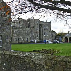
Netherwitton Hall
782 m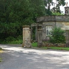
Meldon Park
5.6 km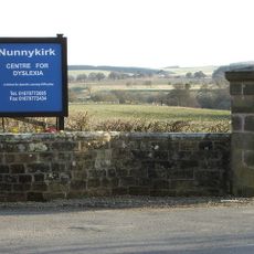
Nunnykirk Hall
2.2 km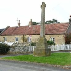
Hartburn War Memorial
4.9 km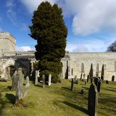
Church of St Andrew
4.9 km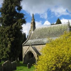
Church of St Giles
791 m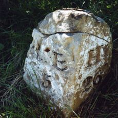
Milestone Circa A Quarter Of A Mile West Of Coltpark
4.1 km
Lodge At Entrance To Meldon Park
5.4 km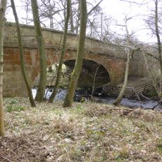
Crossford Bridge Over River Font
355 m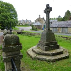
Netherwitton War Memorial
836 m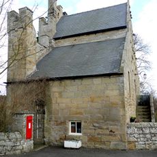
Old Schoolhouse
4.8 km
Bridge Over Nun Burn 200 Metres South Of Nunriding Hall
5.1 km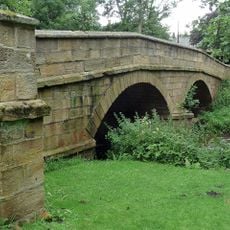
Netherwitton Bridge Over River Font
876 m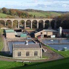
Fontburn Viaduct
5.2 km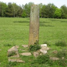
Claverings Cross
4 km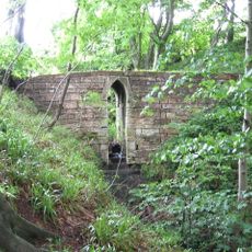
Footbridge Over Small Stream 15 Metres East Of B 6343
4.6 km
Milestone At Ewesley Station
4 km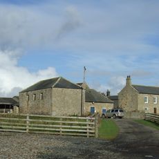
Needlesshallmoor Farmhouse
3.3 km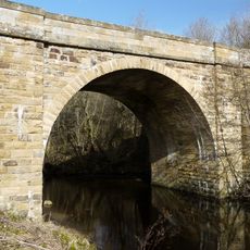
Hartburn Bridge, Over The Hart Burn
5 km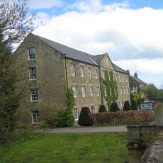
Netherwitton Mill
890 m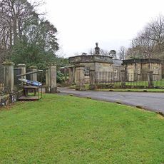
Piers And Screen Walls At Entrance To Meldon Park
5.4 km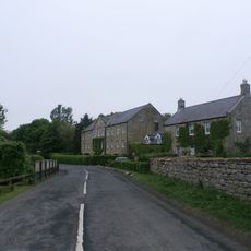
Netherwitton Farmhouse
915 m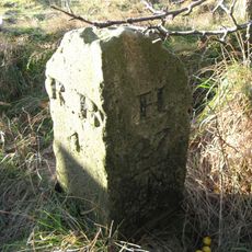
Milestone Circa 200 Yards South West Of Coldside
5.4 km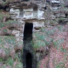
Grotto On South Bank Of Hart Burn
4.5 km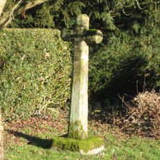
Netherwitton Village Cross In Garden Of Font House
729 m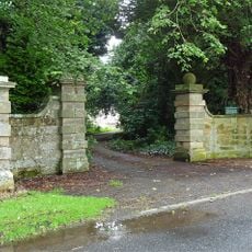
Gate Piers And Screen Walls To South-East Of Netherwitton Hall
877 m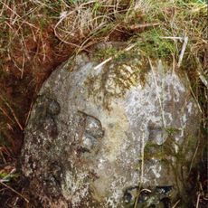
Milestone, Codger Fort
5.2 km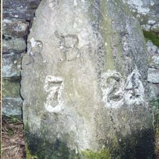
Milestone, Ewesley Fell
4.7 kmRecensioni
Ha visitato questo luogo? Tocchi le stelle per valutarlo e condividere la Sua esperienza o foto con la community! Provalo ora! Puoi annullarlo in qualsiasi momento.
Scopri tesori nascosti ad ogni viaggio!
Da piccoli caffè caratteristici a panorami nascosti, fuggi dalla folla e scova i posti che fanno davvero per te. La nostra app ti semplifica tutto: ricerca vocale, filtri furbi, percorsi ottimizzati e dritte autentiche da viaggiatori di tutto il mondo. Scaricala subito per vivere l'avventura sul tuo smartphone!

Un nuovo approccio alla scoperta turistica❞
— Le Figaro
Tutti i luoghi che meritano di essere esplorati❞
— France Info
Un’escursione su misura in pochi clic❞
— 20 Minutes