
Round cairn, 750m north west of Bellion Farm, round cairn in Netherwitton, Northumberland, England, UK
Posizione: Netherwitton
Coordinate GPS: 55.21250,-1.85414
Ultimo aggiornamento: 13 aprile 2025 alle 14:27
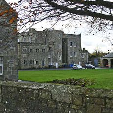
Netherwitton Hall
951 m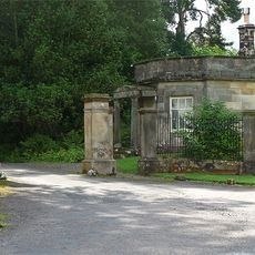
Meldon Park
5.7 km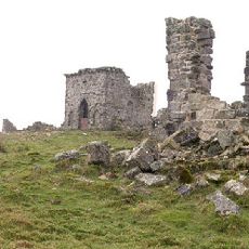
Rothley Castle
5.5 km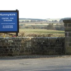
Nunnykirk Hall
2.1 km
Fontburn
5.5 km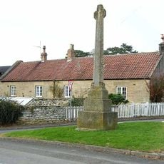
Hartburn War Memorial
4.9 km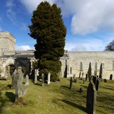
Church of St Andrew
4.9 km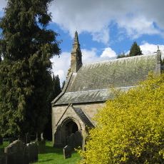
Church of St Giles
937 m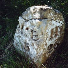
Milestone Circa A Quarter Of A Mile West Of Coltpark
3.9 km
Lodge At Entrance To Meldon Park
5.5 km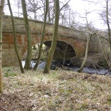
Crossford Bridge Over River Font
263 m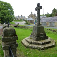
Netherwitton War Memorial
940 m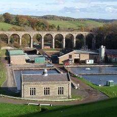
Fontburn Viaduct
5.1 km
Old Schoolhouse
4.8 km
Bridge Over Nun Burn 200 Metres South Of Nunriding Hall
5.3 km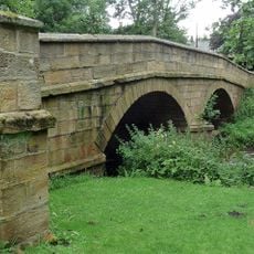
Netherwitton Bridge Over River Font
985 m
Milestone At Ewesley Station
3.9 km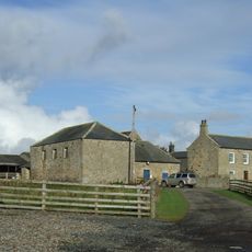
Needlesshallmoor Farmhouse
3.3 km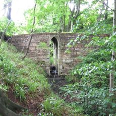
Footbridge Over Small Stream 15 Metres East Of B 6343
4.6 km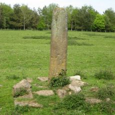
Claverings Cross
4.2 km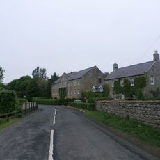
Netherwitton Farmhouse
1 km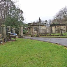
Piers And Screen Walls At Entrance To Meldon Park
5.5 km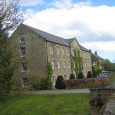
Netherwitton Mill
1 km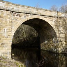
Hartburn Bridge, Over The Hart Burn
4.9 km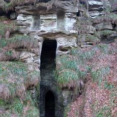
Grotto On South Bank Of Hart Burn
4.4 km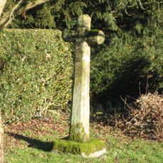
Netherwitton Village Cross In Garden Of Font House
842 m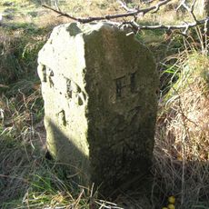
Milestone Circa 200 Yards South West Of Coldside
5.3 km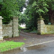
Gate Piers And Screen Walls To South-East Of Netherwitton Hall
1 kmRecensioni
Ha visitato questo luogo? Tocchi le stelle per valutarlo e condividere la Sua esperienza o foto con la community! Provalo ora! Puoi annullarlo in qualsiasi momento.
Scopri tesori nascosti ad ogni viaggio!
Da piccoli caffè caratteristici a panorami nascosti, fuggi dalla folla e scova i posti che fanno davvero per te. La nostra app ti semplifica tutto: ricerca vocale, filtri furbi, percorsi ottimizzati e dritte autentiche da viaggiatori di tutto il mondo. Scaricala subito per vivere l'avventura sul tuo smartphone!

Un nuovo approccio alla scoperta turistica❞
— Le Figaro
Tutti i luoghi che meritano di essere esplorati❞
— France Info
Un’escursione su misura in pochi clic❞
— 20 Minutes