
Coal mining remains at Dunston Hill, archaeological site in Gateshead, Tyne and Wear, England, UK
Posizione: Gateshead
Coordinate GPS: 54.94859,-1.65711
Ultimo aggiornamento: 20 agosto 2025 alle 21:55
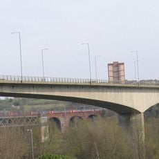
Redheugh Bridge
2.9 km
The Mitre
3 km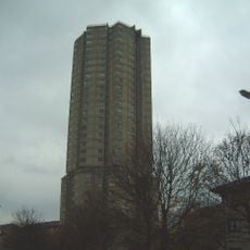
Derwent Tower
1.2 km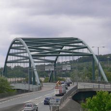
Scotswood Bridge
2.9 km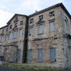
Axwell House
3 km
St Stephen's Church, Low Elswick
2 km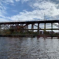
Dunston staiths
1.8 km
Milecastle 6
2.9 km
Royal Victoria School For The Blind
2.8 km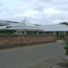
Dunston Hill Hospital
344 m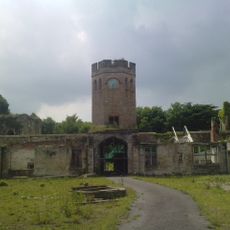
Castello di Ravensworth
2.8 km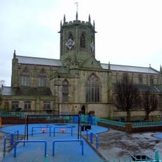
Church of St Chad
2.9 km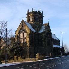
Church of St Michael And Presbytery Attached
2.2 km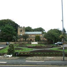
Church of St Mary
1.1 km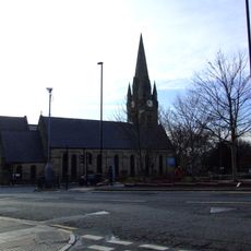
Church of St James
2.5 km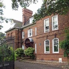
Church House And Dwarf Walls In Front
2.9 km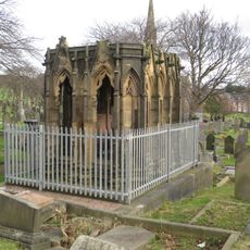
Mather Tomb In St John's Cemetery
2.1 km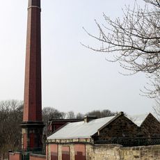
Benwell Waterworks Chimney
2.9 km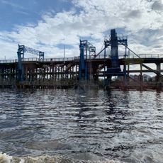
River Tyne Dunston Coal Staithes
1.9 km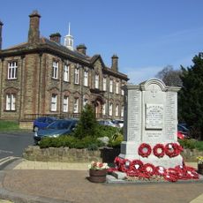
Whickham War Memorial
1.1 km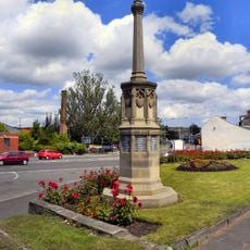
War Memorial
1.9 km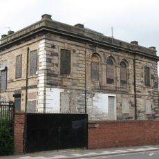
St Pauls Church Of England School (North Part)
3 km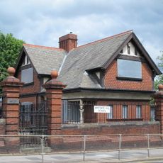
Lodge To South East Of Westgate Hill School, And Wall, Piers, Gateposts And Gates
3 km
Railings And Walls To South And East Of Hospital Of St Mary The Virgin Almshouses
2.8 km
Piers And Walls In Front Of Number 416A
3 km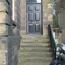
Steps And Railings To Right Of Number 2
3 km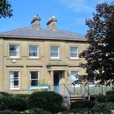
Newcastle General Hospital Young People's Unit And Dwarf Walls In Front
3 km
Bensham Bank, by park
2.6 kmRecensioni
Ha visitato questo luogo? Tocchi le stelle per valutarlo e condividere la Sua esperienza o foto con la community! Provalo ora! Puoi annullarlo in qualsiasi momento.
Scopri tesori nascosti ad ogni viaggio!
Da piccoli caffè caratteristici a panorami nascosti, fuggi dalla folla e scova i posti che fanno davvero per te. La nostra app ti semplifica tutto: ricerca vocale, filtri furbi, percorsi ottimizzati e dritte autentiche da viaggiatori di tutto il mondo. Scaricala subito per vivere l'avventura sul tuo smartphone!

Un nuovo approccio alla scoperta turistica❞
— Le Figaro
Tutti i luoghi che meritano di essere esplorati❞
— France Info
Un’escursione su misura in pochi clic❞
— 20 Minutes